Yttlinakkane from Hauge
Fjord
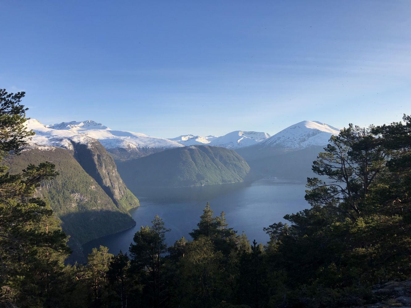
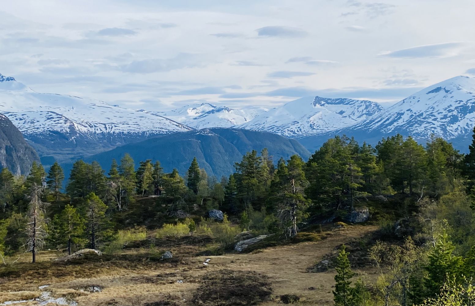
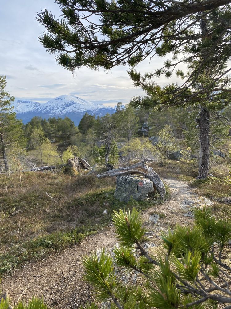
This is a lovely walk through gentle terrain. You will get a great view of the fjord and large parts of the former Norddal Municipality. The trail is suitable for both a fitness walk in the evening and a Sunday stroll with the family. You will walk through a beautiful pine forest and can take a rest in a cabin that is open for everyone.
Start by walking from the car park in Hauge, cross the road and follow the farm road that runs through the farmyard just above the car park. The farm road goes past two residential houses and an old barn on your right, as well as a newer barn on your left-hand side.
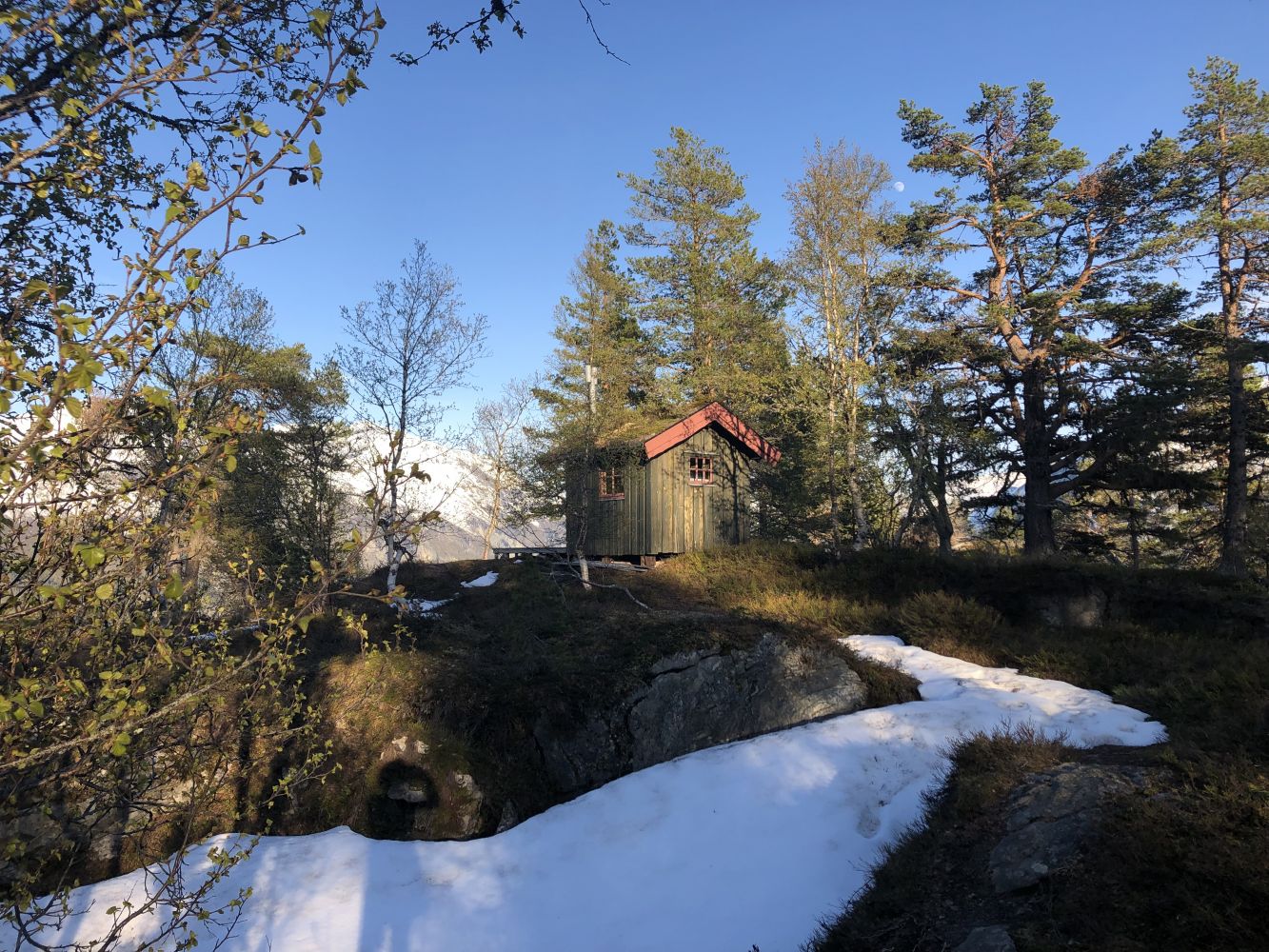
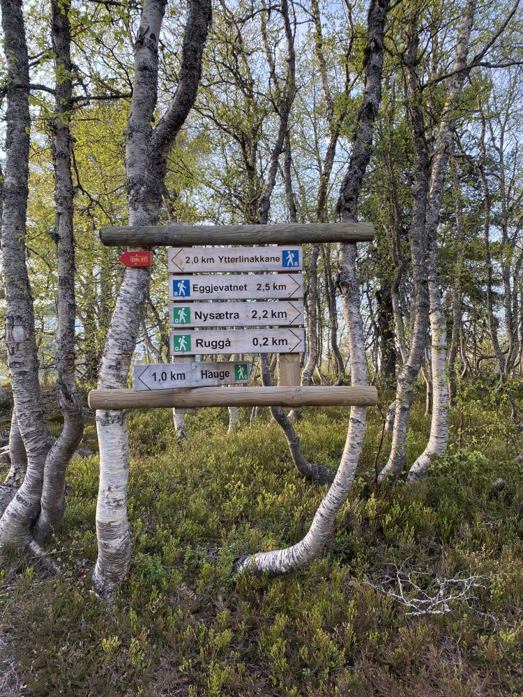
Walk along this well-maintained tractor road for about 500 m uphill until you reach the sign that points to Ruggå. Follow the path further up until it splits and you see an arrow pointing left to Yttlinakkane. From there, walk west along the well-maintained and clear path that runs through gentle terrain. You will come to the Flatstimyra area after about 600 metres. Follow the well-marked path as it takes a gradual ascent over the area of Heia and past a place called Svasvadalen until you come to the Rusetdalen Valley. The section of the trail from Rusetdalen to Yttlinakkane involves some climbing. At the top of Yttlinakkane (600 m a.s.l.), you will find an amazing old pine forest. Follow the path that runs through flat terrain all the way to the cabin in the area called Kvitsva.
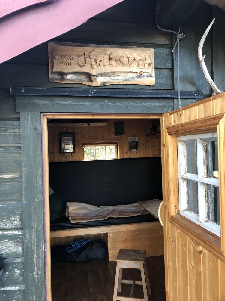
You will find a trail postbox attached to a tree just behind the cabin. There is also a fitness trail postbox that belongs to the Fjørå Health Association here. The cabin is owned by Erling Rødal from Ytterli. It is open for everyone, but please remember to clean it before you leave. From Yttlinakkane, you will get a beautiful view towards Nysætra (750 m a.s.l.), the farms in the innermost part of Fjørå, and Tafjord. You will also see Valldalen, the old farms across the fjord, and Eidsdal.
Alternative return route: You can walk down to the Bjønnamyra area from the trail postbox. The path splits there, and you can walk down to Ytterli (400 m a.s.l.) and follow the motorway back to the car park in Hauge (about 1.8 km). Another option is to walk along the marked path from Bjønnamyra to Rusetdalen where you will return to the same path that you followed on your way up. Follow this path back to Hauge. Not all of these local names are plotted on the map, but the paths are signposted and partly marked.
It should also be mentioned that HRH Queen Sonja of Norway has been hiking here. A greeting from one of her many walks can be found on the wall of the cabin in Kvitsva.
The entire trail takes 2–3 hours of walking through gentle terrain. This trail is suitable for the entire family.
From the ferry terminal in Fjørå, follow the road that runs up to Selboskar and Hauge at 400 m a.s.l. Take the 180-degree turn to the right in Selboskar and drive for a couple of hundred metres until you reach the car park in Hauge on the right side of the road. Free parking. There is space for 10–15 cars.
Please do not leave your car in Ytterli without agreeing with the landowners first.
Duration
2 t. 30 min.

Sesong
Spring, Summer, Autumn
Signage
Both signed and marked
| Surface type |
Distance |
| Asfalt |
0,1 |
| Grus |
0.6 |
| Sti |
2,3 |
Norddal Municipality tourist map, Tafjordfjella tourist map
 Driving directions
 Route data
GeoJSON