This trail covers various types of terrain and follows a road and a gravel road. The climb from Nordstranda is relatively steep, and the section past Tindane is quite steep and open. Then it flattens out, and you will walk over gentle terrain until you reach the dam at Lake Børevatnet in Brandal. The trail mostly follows mountain ridges with open landscapes and dry terrain.
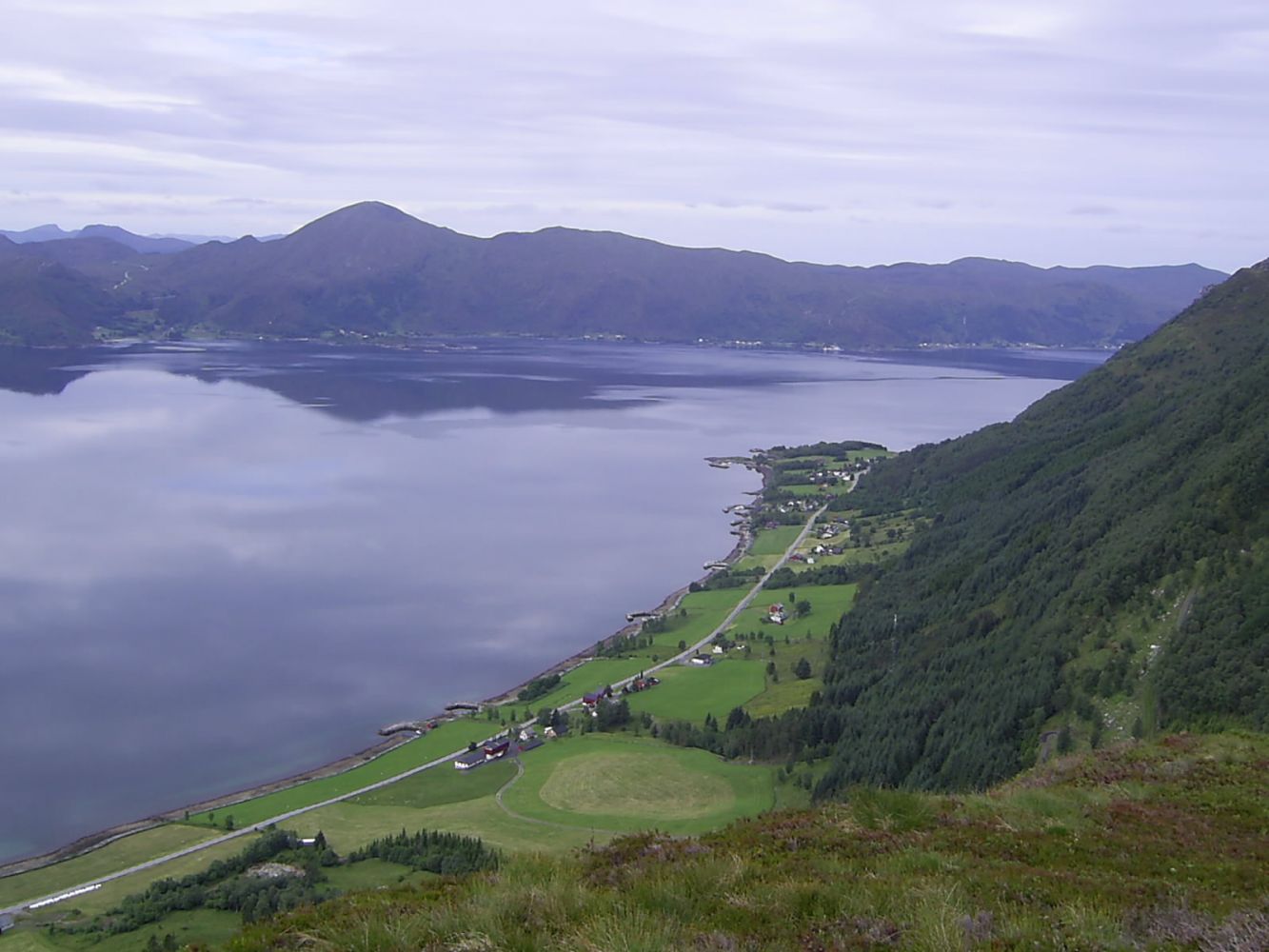
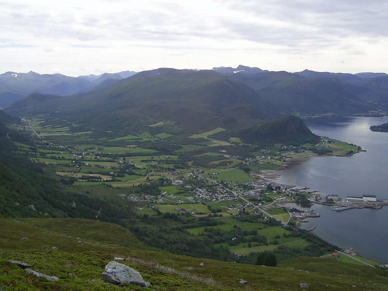
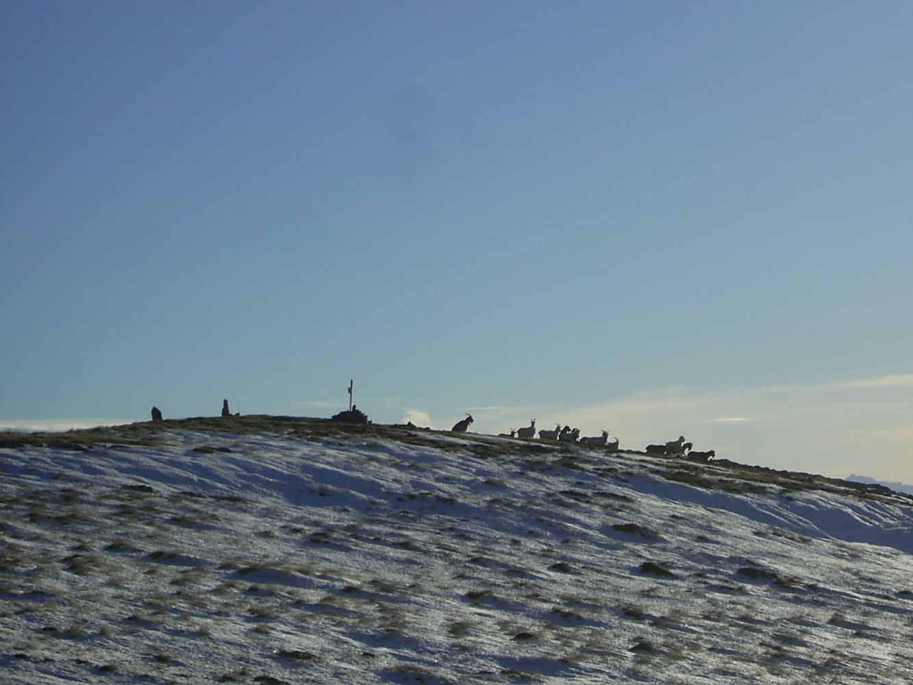
The route from Nordstranda to the dam / toll road in Brandal is more challenging than the usual Brandalsråsa trail (Route 7+9). The starting point (and possibly the end point) in Ytre Strand is marked with a sign by County Road 2. If you follow this route, you will get both the steep climb from the south side and the beautiful view of the Vanylvsfjord and the surrounding villages. Once you reach Nyklen, you will get a panoramic view over Fiskå and from Lilsjeeide to Hundsnes. The view from Storehornet stretches from the mountains in Nordfjord to the southernmost part of Sunnmøre. You will also see the Stadt Peninsula and the islands north of Vanylvsgapet. As you walk from Storehornet along the top of the ridge, you will have a steep cliff down to Lake Støylsvatnet on one side. Please be careful when walking here. After the ridge, the path continues down past Lake Haugevatnet, goes around the north side of Solihøgda, and ends on the service road that was used during the power plant development in the late 1940s. Follow this service road until you come to the toll road from Brandal, with the exception of the last few hundred metres where the road goes down to Lake Børevatnet. There is a path here which you should follow. The end point of the trail is the dam in Brandal.
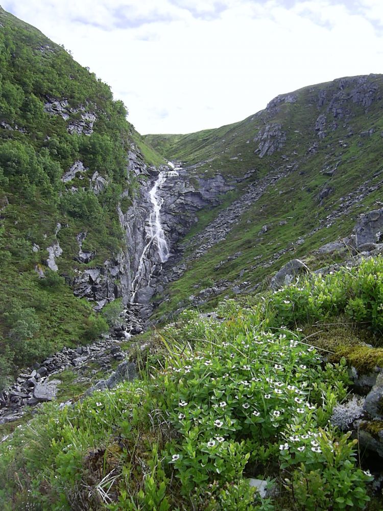
From Nordstranda, follow the farm/service road that was built during the construction of a private power plant. When you leave that road, you can either follow the old farm road or the newer path that was trodden by both people and animals after the end of cattle farming in the mountains. The GPS track below follows parts of the old farm road and parts of the newer path. This section of the trail is short and quite steep. After you complete it, the trail will shift between flatter and steeper sections until you reach the top of Storehornet. From there, the trail follows a gentle slope down the ridge before getting a little steeper past Lake Haugevatnet. The section around Solihornet is less steep, and after that, you will come down to the service road towards Brandal.
The starting point of the trail is Ytre Strand. It is marked with a sign.
There is a lot of parking space by the dam in Brandal, but it is not as easy to park in Ytre Strand. There may be room for a couple of cars next to a small power plant. If not, you may consider parking at the farm. Please talk to the landowner.

 Driving directions
 Route data