Norsk

Vorakinna from Sandnessætra – Route 24

Vanylven

The trail at a glance

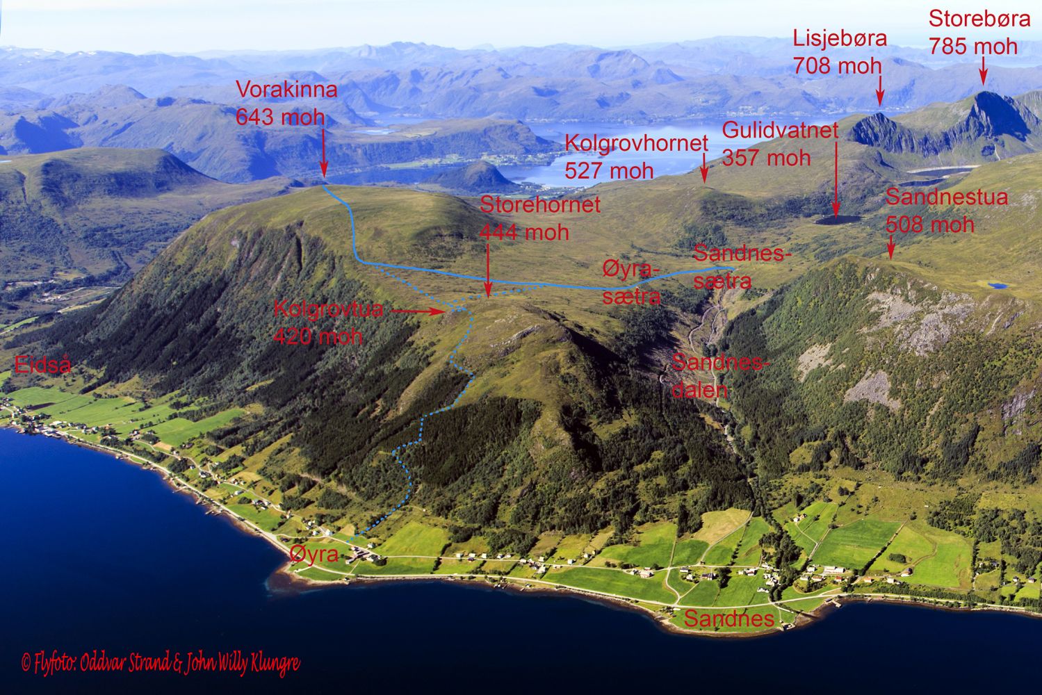
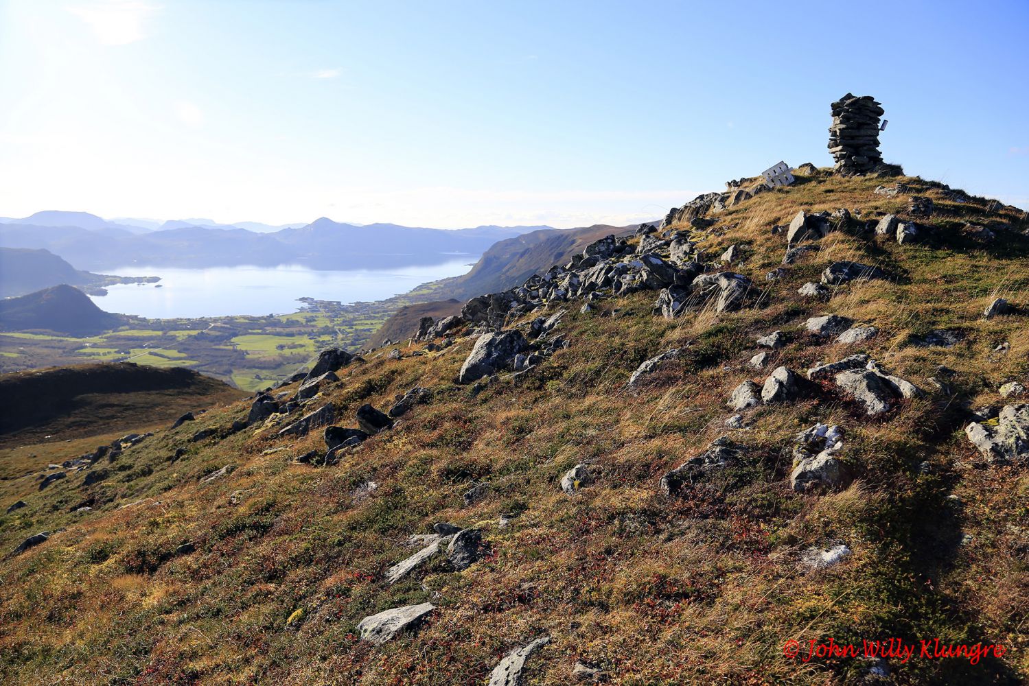
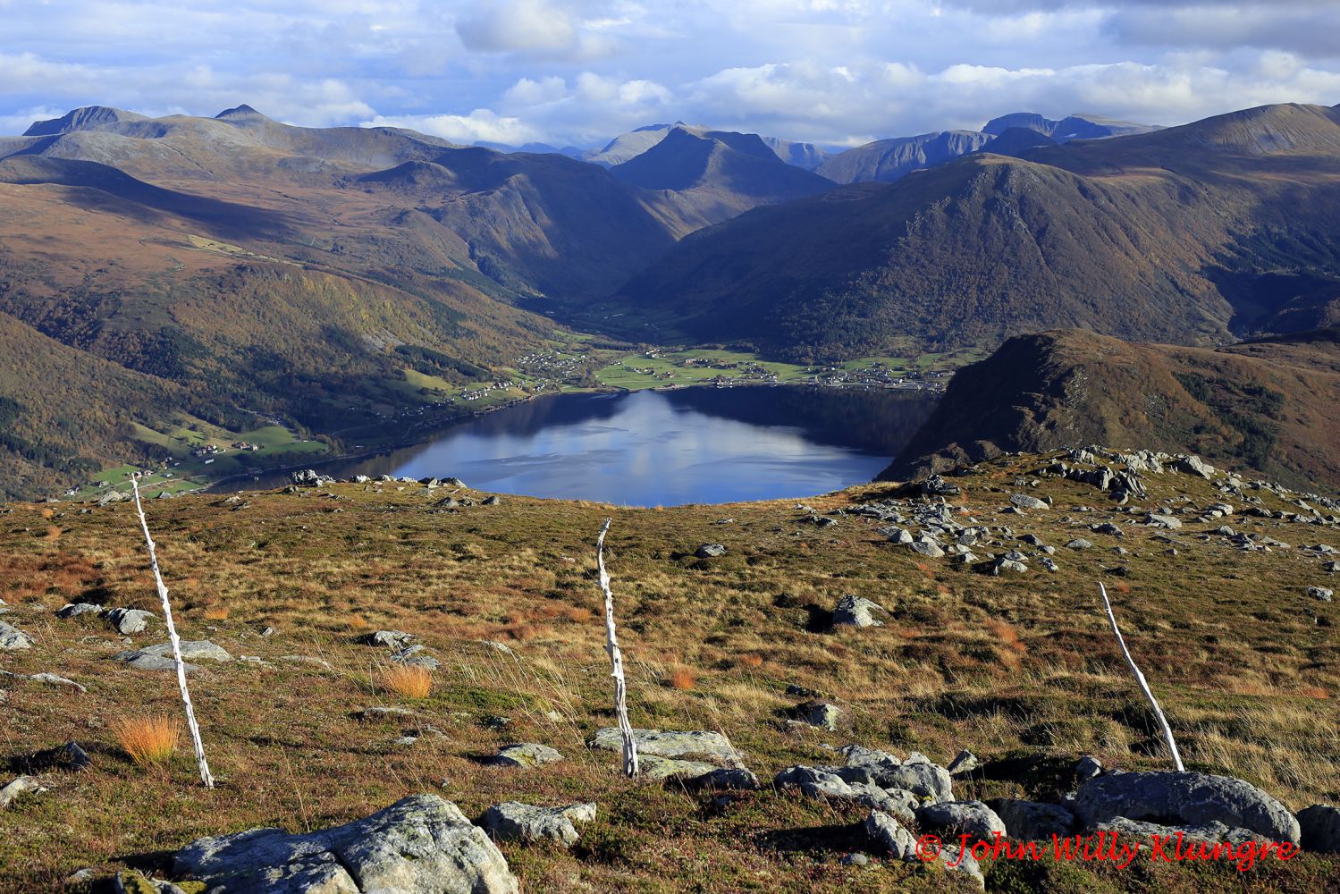
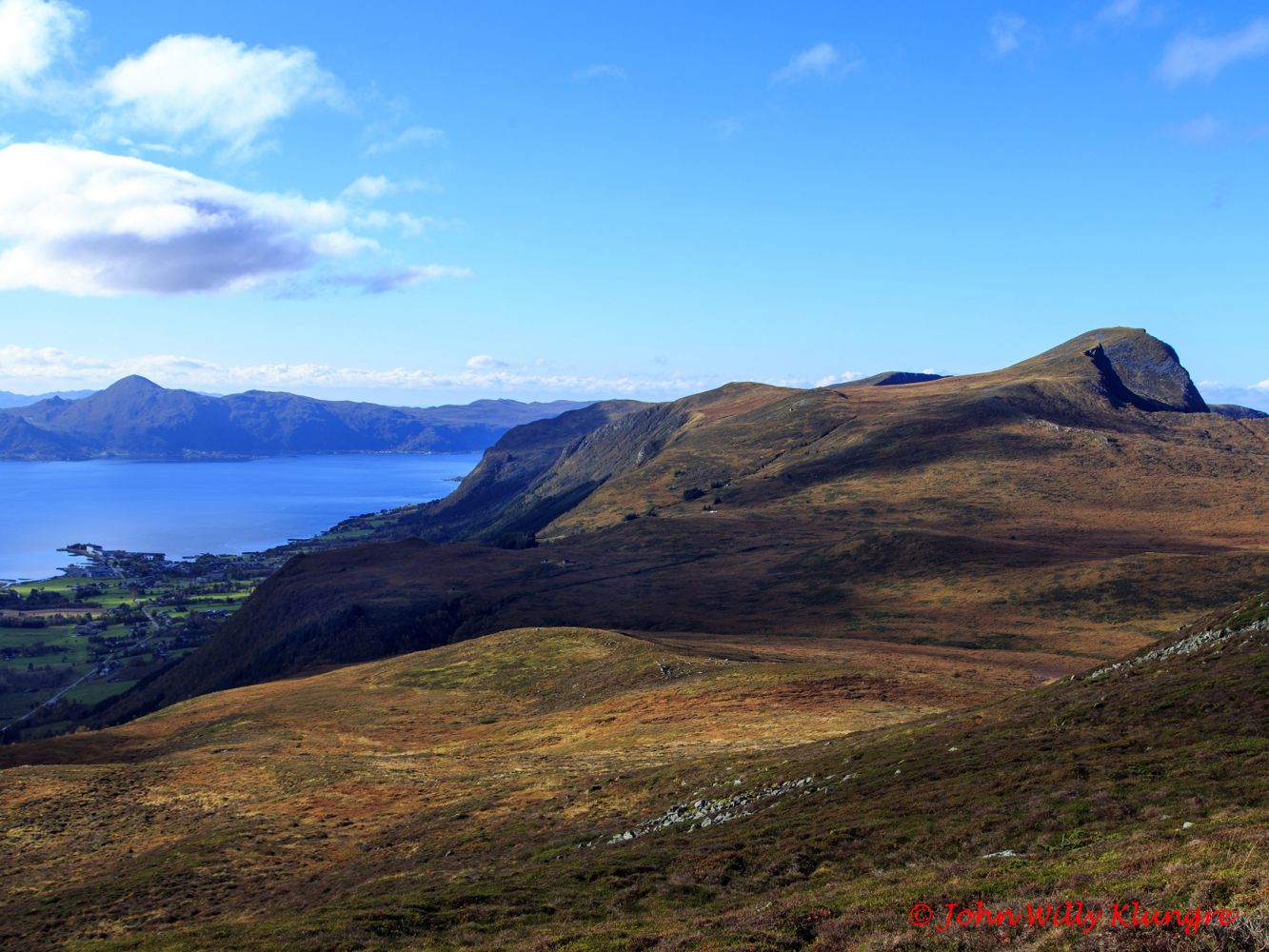
This family hike takes you through gentle terrain to the top of Vorakinna which is a relatively free-standing mountain with a great view over several villages in Vanylven. To get the best view towards Eidså and Syvde, move forward to the edge of the mountain facing Eidså. If after visiting Vorakinna you still want to see more, feel free to stop by Kolgrovtua on your way back to Sandnessætra. Kolgrovtua is a plateau of Mount Storehornet which lies directly behind. Kolgrovtua is perhaps the most spectacular viewing point over the Syvdefjord where you can see both sides of the fjord at the same time. For more information about Kolgrovtua, please visit http://mrfylke.no/Morotur/Turar/Kolgrovtua-OEyranakken-rute-51 If you walk via Kolgrovtua, the hike will be about 1 km longer. 

Route description

The trail starts from the mountain farm Sandnessætra and follows a solid, dry, and well-prepared footpath to Øyrasetra. The path from Øyrasætra up to the foot of Vorakinna is also fairly good. The final section before the top of Vorakinna begins with the steepest climb on the route. It eventually flattens out, and you will walk over gentle and dry terrain all the way to the top. Here, you will also have a clearly defined path to follow. The entire trail is well marked, and the junctions are signposted.

Access and parking

To get to the starting point in Sandnessætra, turn off the national road in Sandnes. The junction in Sandnes is located 3.2 km south of the ferry terminal on Koparneset and 3.5 km north of the national road junction in Eidså. After turning off the national road in Sandnes, drive up to the old national road, turn right and drive north for 70 metres before turning left up the Sandnesdalen Valley. You can park your car 400 metres after the last hairpin turn of the road that goes up from Sandnesdalen. Park your car right before cabin no. 2 on the left side of the road. The path to Vorakinna starts right next to this car park. The starting point of the trail is signposted and so are all the junctions. The entire trail is also well marked. The road to Sandnesdalen is a toll road with a fee of NOK 30.
Hiking route
Green
Elevation
362 m
Duration
3 t. 50 min.
Sesong
Spring, Summer, Autumn
Highest Point
640 masl
Signage
Both signed and marked

Map route

Surface type Distance
Sti 5,2

Map

Hiking map: På tur i Vanylven (Eng. Hiking in Vanylven) – can be purchased at local shops and petrol stations in Vanylven Municipality.
Driving directions

API endpoints

Route data GeoJSON