Vorakinna from Fiskåbrauta, route 23
Vanylven
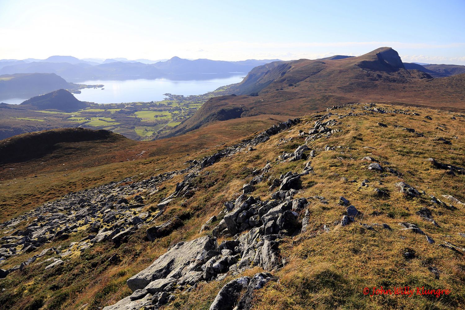
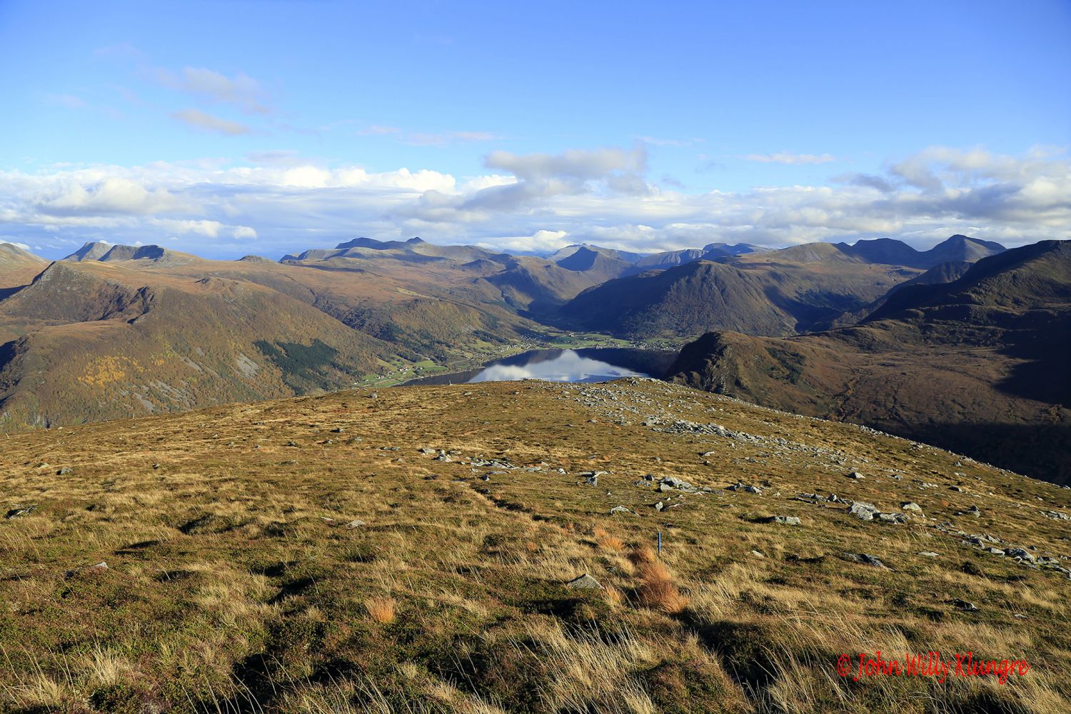
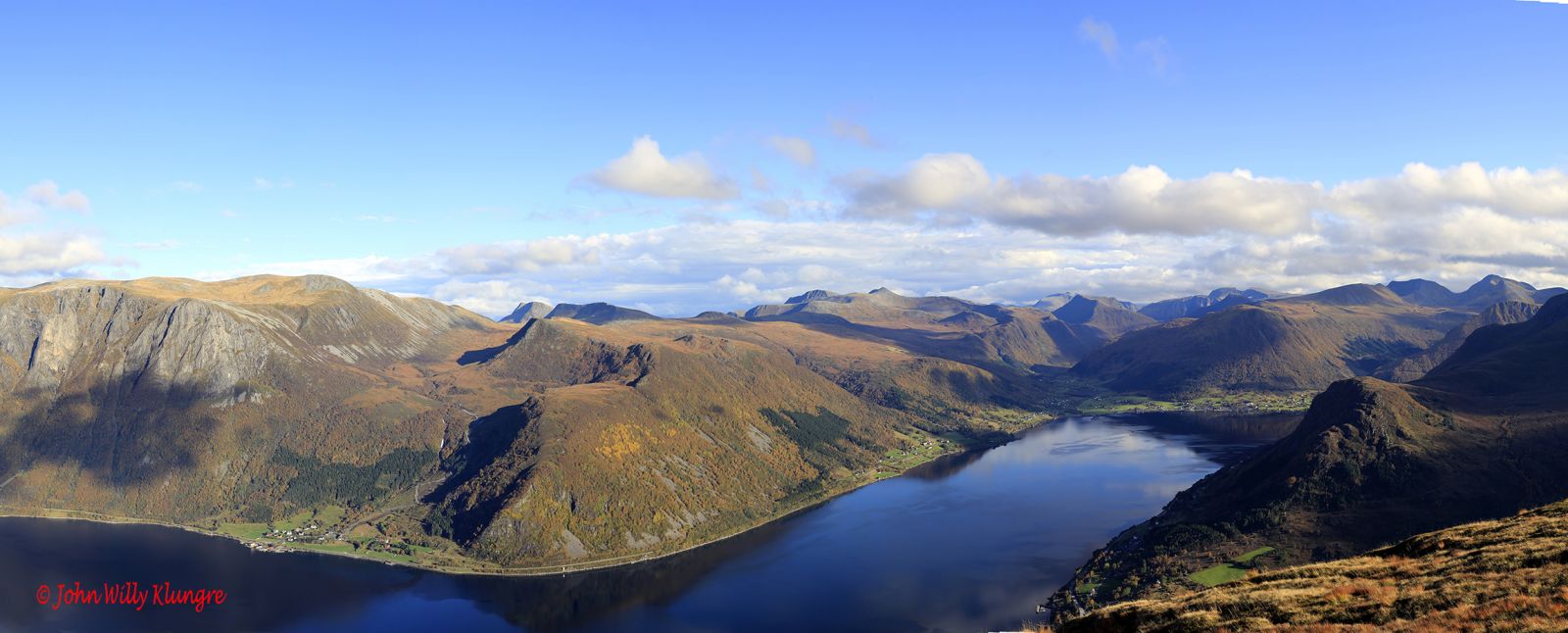
This family hike takes you through gentle terrain to the top of Vorakinna which is a relatively free-standing mountain with a great view over several villages in Vanylven Municipality. To get the best view towards Eidså and Syvde, move forward to the edge of the mountain facing Eidså.
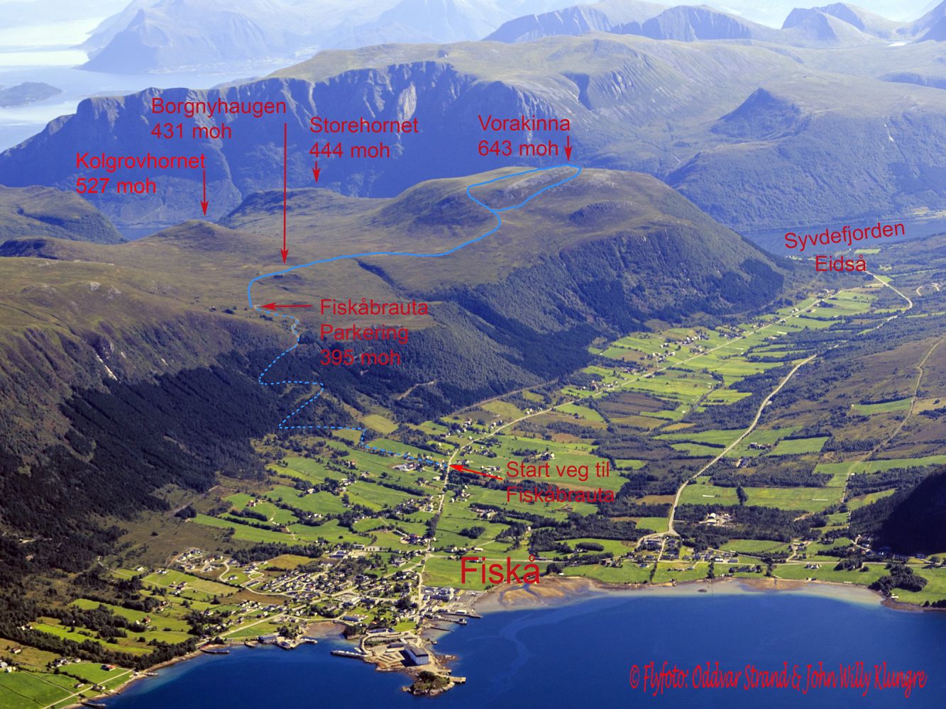
Although it is possible to walk all the way from Fiskå. Most people will probably drive up to Fiskåbrauta and start their hike there. The trail from Fiskåbrauta (395 m a.s.l.) is almost completely flat with a slightly wet section until you reach Borgnyhaugen. From there, walk down a gentle slope and cross the river that flows from the Vorakinndalen Valley just above the gorge that the river made on its way down to the main valley. After another short marshy section, you will come onto the ridge that will take you up towards Vorakinna. Upon approaching the mountain, you will have 2 alternative routes up to the top, and it can be worth trying one of them on your way up and the other one when you walk down. The route that goes straight ahead from the intersection of paths is believed to be the easiest.
The starting point of the trail on Fiskåbrauta is signposted, and the entire trail is marked with blue paint or sticks.
A good-quality 2 km long gravel road takes you from the old school in Rusta up to the fenced-in car park on Fiskåbrauta at 395 m a.s.l. This is a toll road. The beginning of the road up to Fiskåbrauta is clearly marked on the aerial photo of the trail.
Drive for about 1.5 km from the national road junction in Eidså in the direction of Fiskå and take the old national road at the sign for Eide and Rusta. Follow that old road for 4 km until you come to the junction just before the old school in Rusta. There is a sign for Fiskåbrauta at the start of the road that goes up to the mountain.
From the centre of Fiskå, drive east for about 500 metres in the direction of Eidså. When you reach the junction with a sign pointing right to Hareid and Måløy, turn off to the left and drive along the old national road towards Eidså for 1 km before reaching the beginning of the mountain road up to Fiskåbrauta.
Duration
2 t. 25 min.

Sesong
Spring, Summer, Autumn
Signage
Both signed and marked
| Surface type |
Distance |
| Sti |
7 |
Hiking map: På tur i Vanylven (Eng. Hiking in Vanylven) – can be purchased at local shops and petrol stations in Vanylven Municipality.
 Driving directions
 Route data
GeoJSON