Vikevatnet – Storehornet – Kolfishornet/Vedahornet – Route 66
Vanylven
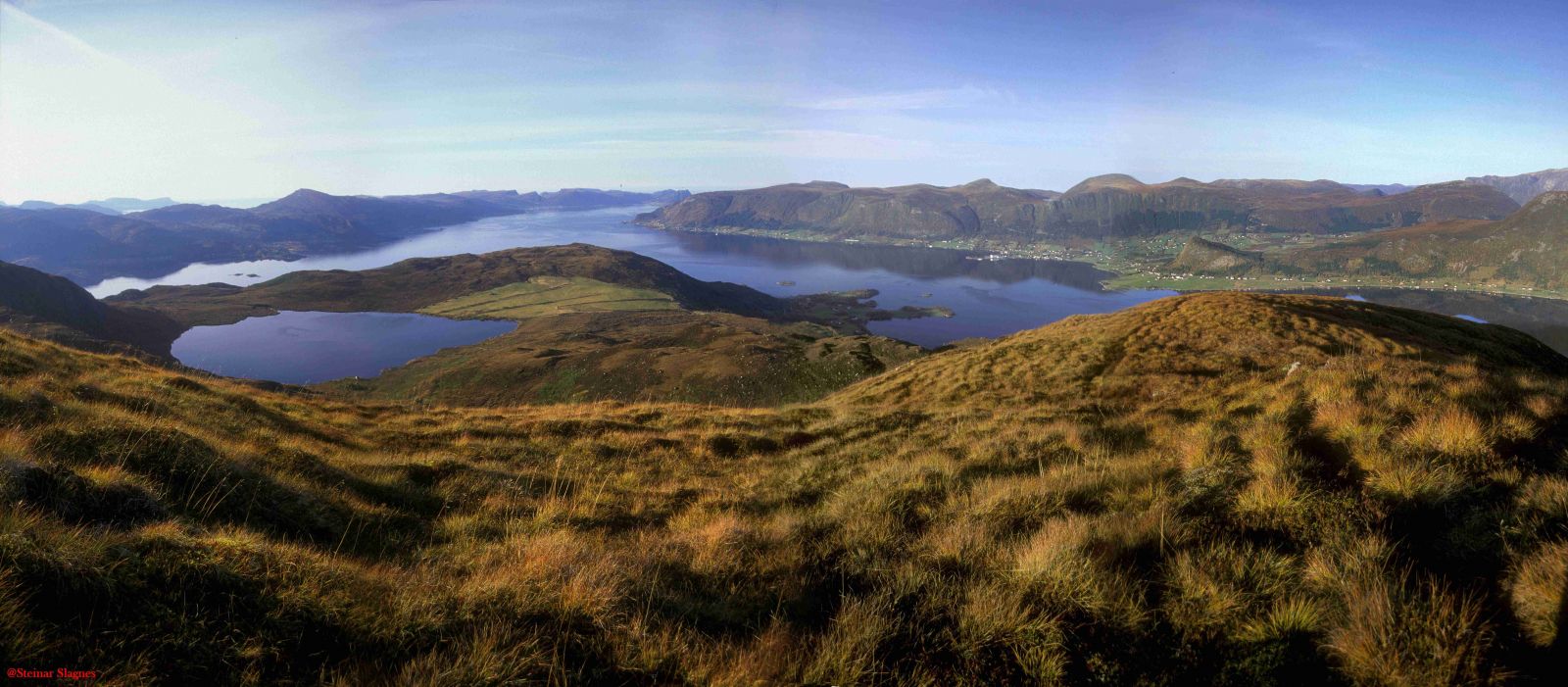
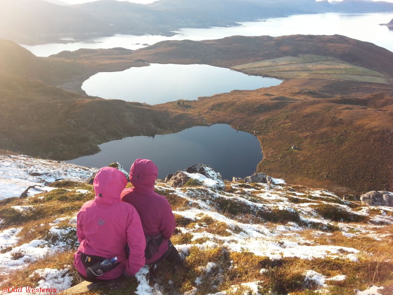
This scenic trail leads to several amazing viewing points. Vikevatnet is a good fishing lake. You can also see traces of peat extraction in the area in the old times. By Lake Bjørdalsvatnet, you will find the remaining stone walls of an old farm building.
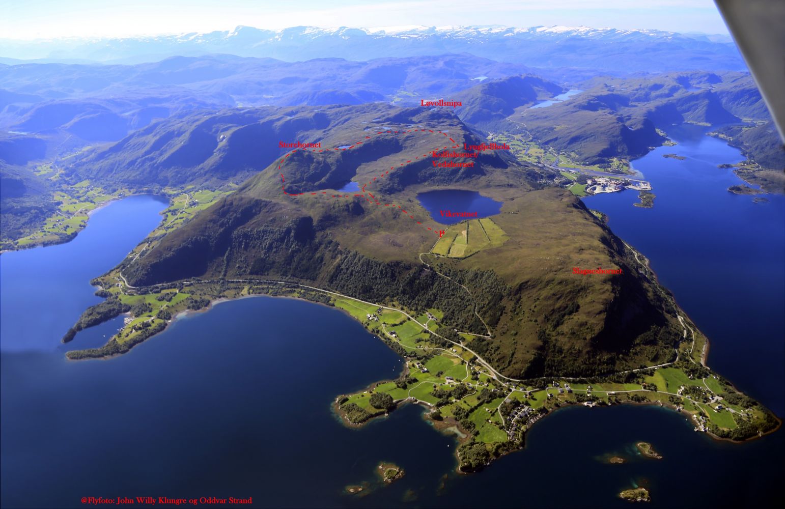
The trail starts from the car park on Vikafjellet, near Lake Vikevatnet. From this car park, you can do both Storehornet and Kolfishornet/Vedahornet as separate trails, but this is a description of a circular trail where you first ascend Storehornet with its panoramic view, continue over gentle terrain towards Kolfishornet/Vedahornet, and walk down towards the lakes Bjørdalsvatnet and Vikevatnet. The starting point of the trail is marked with a sign. The entire trail is also marked. Walk east from the car park. You will come to a signposted junction after about 800 m. Go straight ahead if you want to get to Kolfishornet/Vedahornet. The route to Storehornet goes to the left (north). After about 1.6 km, begin the climb up the ridge that will lead you to Storehornet. The trail turns slightly southeast. After about 2.5 km, you will reach the mountaintop with an amazing 360 degree view. The Åheim Sports Association (Åheim IL) has a fitness trail post on this peak. The trail continues south towards Kolfishornet/Vedahornet. Both “Kolfishornet” and “Vedahornetboth” are used to refer to the peak. Older people say that Kolfishornet is the correct name and that it is used on old maps. Vedahornet is also said to refer to another peak a little further down.
After heading downhill for about 700 m, you will walk past Lake Juldalsvatnet to the west and get a small uphill climb soon after that. When it flattens out again, you will come to the signposted junction about 1.2 km from Storehornet. The route to the left goes to Løvollsnipa, possibly to Lake Skjevatnet. Continue straight ahead. The trail turns west after about 2 km from Storehornet. You will then pass Hylkjesteinen, a large cairn on your left-hand side, and come to another signposted junction just after that. The route to the left goes to Lyngfjellhola and down to the residential area in Åheim, but our path continues straight ahead. About 2.6 km after Storehornet, you will come to Kolfishornet/Vedahornet where you can enjoy a panoramic view of both the inner and outer parts of the Vanylvsfjord. This is also one of Åheim IL’s fitness trail posts. Continue northeast and down the ridge towards Lake Bjørdalsvatnet, walk across the bridge over the river, turn northwest, and you will soon reach the junction with the same path you followed on your way up.
The trail starts from the car park by Lake Vikevatnet. From the junction in the centre of Åheim, drive north and take the mountain road to the right after 5.4 km. If you are coming from the north, turn left 200 m before the exit road to Slagnes. There is a toll collection point up the mountain road. Turn left after 1.3 km up the mountain road and drive for 300 m more. Park your car at the well-maintained and free (if you have paid the toll fee) car park on Vikafjellet by Lake Vikevatnet. Remember the toll fee.
Duration
2 t. 50 min.

| Surface type |
Distance |
| Sti |
7,5 |
Hiking map: På tur i Vanylven (Eng. Hiking in Vanylven) – can be purchased at local shops and petrol stations in Vanylven Municipality.
 Driving directions
 Route data
GeoJSON