Vikehornet – Route 53C
Vanylven
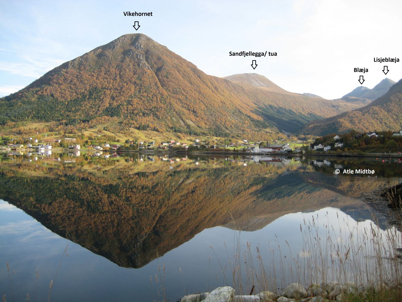
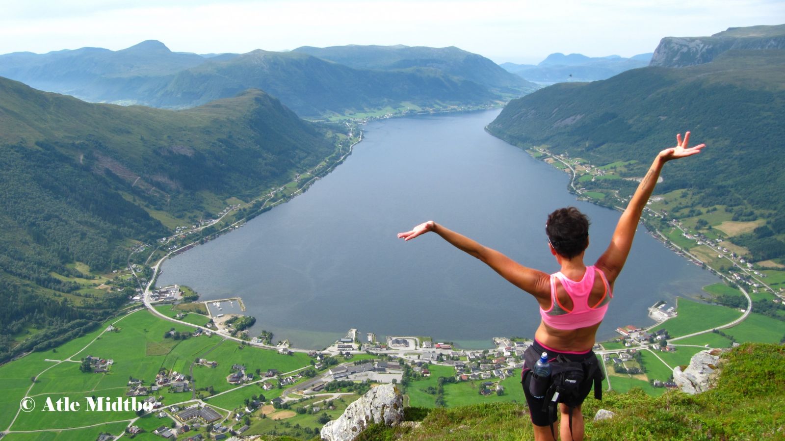
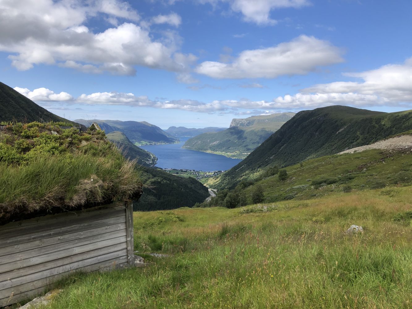
Mount Vikehornet with its 709 m a.s.l. rises above the inner part of the Syvdsfjord, providing the perfect viewing point over Syvde. The view of the village from the peak is truly amazing. After you have completed the steepest section in Tåbrotet, the rest of the trail is fairly easy and family-friendly.
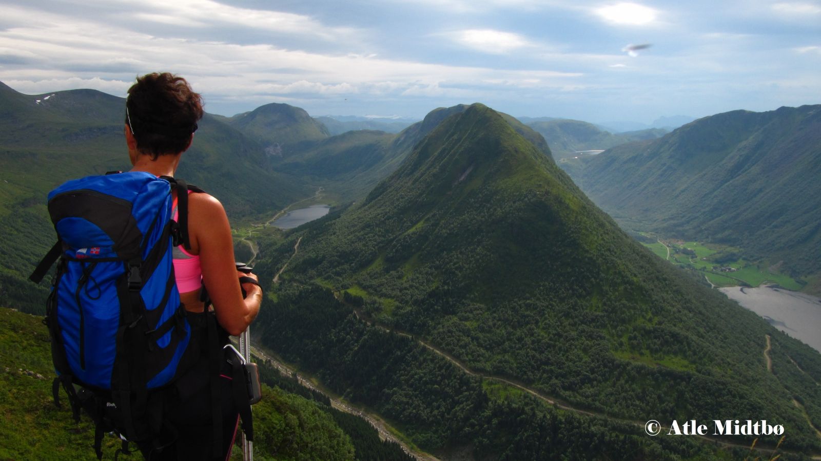
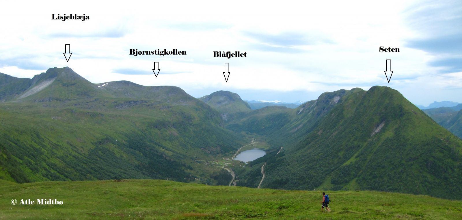
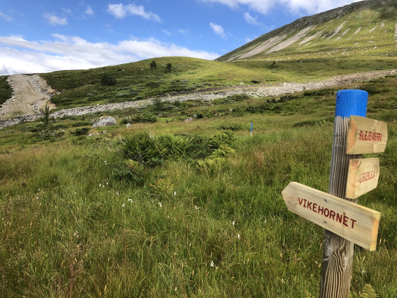
The starting point of the trail is the car park in Røfsdalsætra. Follow the sign that reads “Vikehornet 5 km”. You will walk along the same path that goes to Lake Blæjevatnet which starts above the cabins. The path is marked with blue-painted stones and sticks. Cross a small river which may become broad after a heavy rain. As you walk further, the path will climb fairly steeply and you will ascend quite fast. The steepest section of the trail ends at the Tåbrothytta cabin.
Just after the cabin, you will see a sign for Vikehornet. Cross the bridge over the river Helgåa and continue along the lower side of a drainage ditch that was built in connection with the construction of a power plant. Walk up the hill at the end of the ditch and continue the gradual ascent to Vikehornet. The path has a dry surface and is marked with blue-painted stones and sticks up to Vikehornet.
Drive from the centre of Syvde in the direction of Saurdal. When the county road takes the right turn in Smedbøen, continue driving straight ahead between some residential houses. Once you have passed the houses, you will see a large stone on the right side of the road with a box attached to it. This is a toll collection point set up by Myklebust Joint Ownership. The Røfsdalen Valley is a good starting point for several mountain hikes of varying length. You will find a car park in Røfsdalsætra.

 Driving directions
 Route data