Norsk

Vikahornet

Fjord

The trail at a glance

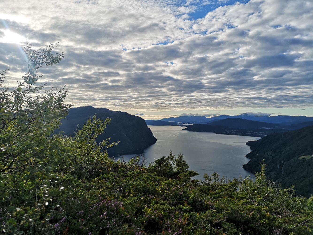
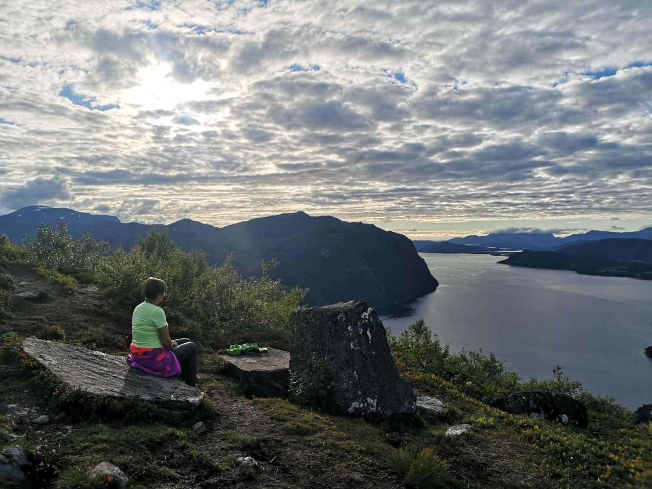
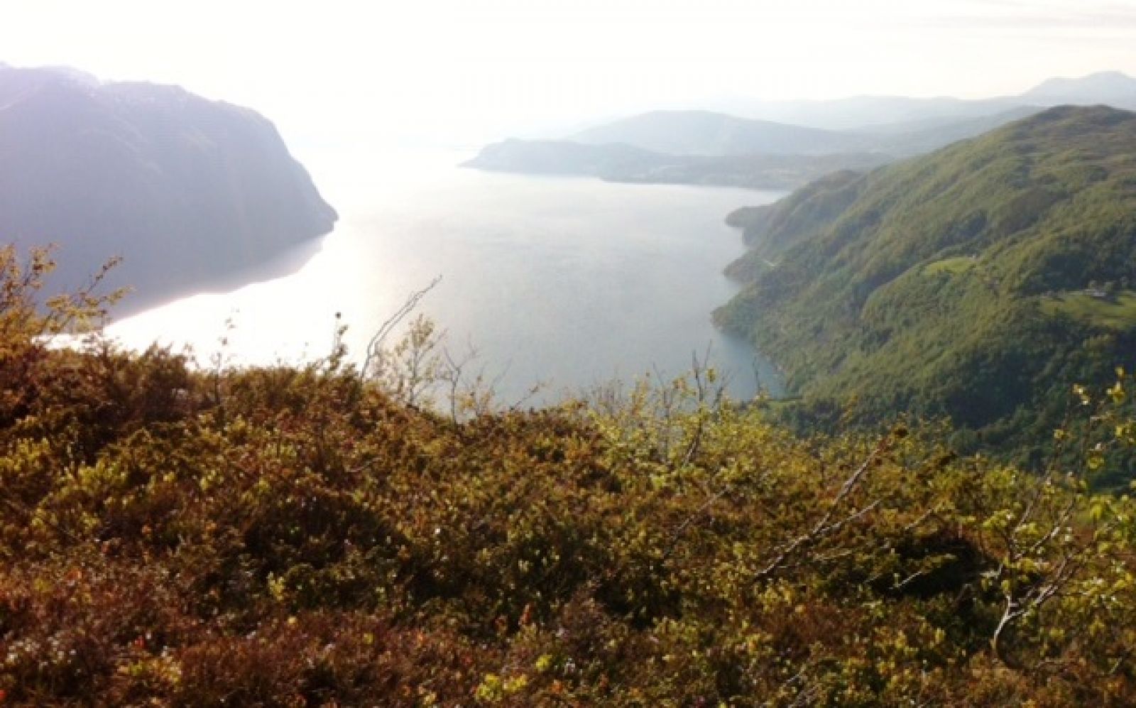
This lovely trail starts from Lake Dyrkornvatnet. The trail is short, but slightly steep. It is especially well suited for families with children. Although the trail is short, you will get a feeling of being on top of the world! Once you reach the top of Vikahornet, you will get a great view of the village of Dyrkorn, Storfjorden and the mountain ranges around. You will see the mountain farms of Skotet on the other side of the fjord. http://www.skotet.no.

Route description

Start walking from the car park up to the topmost cabin. The path starts on the left of the cabin. The trail is marked and follows a good path through the area of dense forest with a view of Lake Dyrkornvatnet. Once you reach the top of Mount Vikahornet, you can walk up to Mount Varden and possibly further to Stordal.

Access and parking

Drive up through the village from the junction in Dyrkorn. Take the right turn at the junction after 1.5 km. Continue driving for about 500 m until you see the toll road (30 NOK) on your left. Drive further until you reach Lake Dyrkornvatnet and turn right towards Vikastølen. You can park your car near the lake.

You can park your car near the lake.
Hiking route
Blue
Distance
1 km one way
Elevation
226 m
Duration
55 min.
Sesong
Spring, Summer, Autumn
Highest Point
603 masl
Signage
Both signed and marked
Mobile coverage

Map route

Surface type Distance
Sti 1

Public transport

There is a bus connection between Ålesund and Valldal. Please check frammr.no

Map

Ørskogfjellet tourist map
Driving directions

API endpoints

Route data GeoJSON