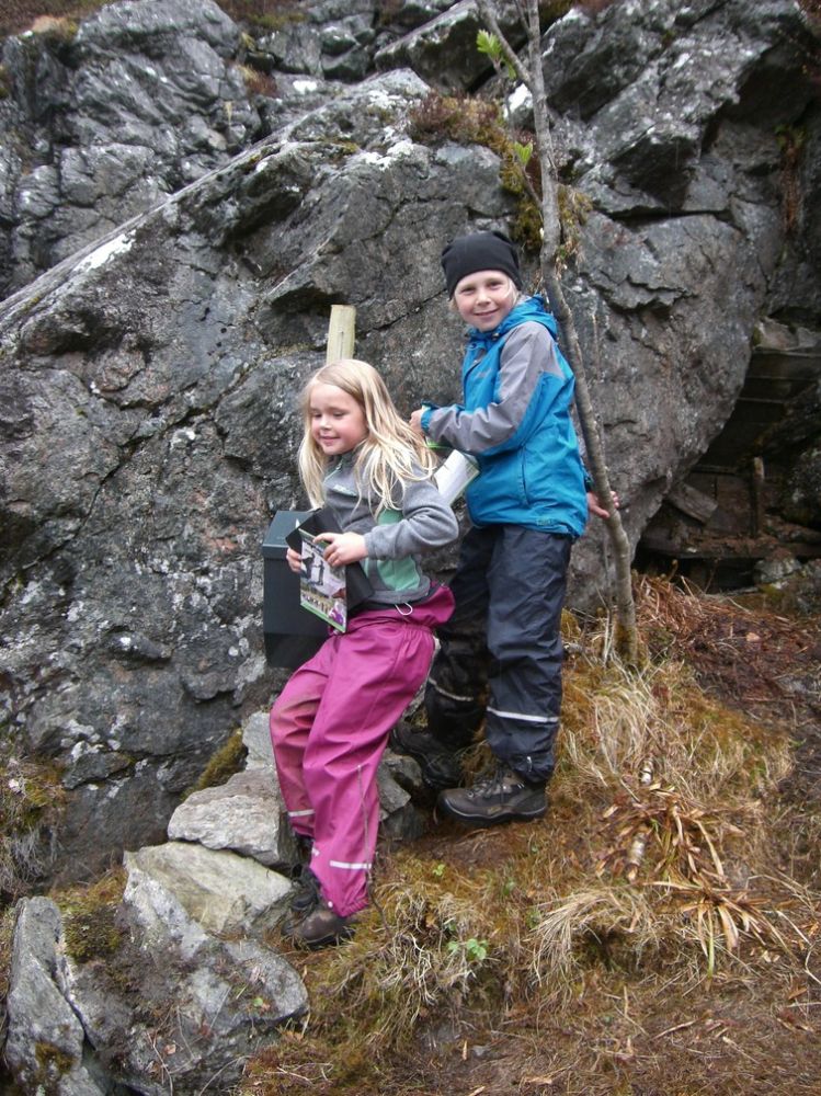
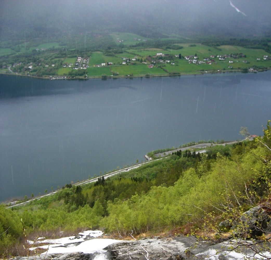
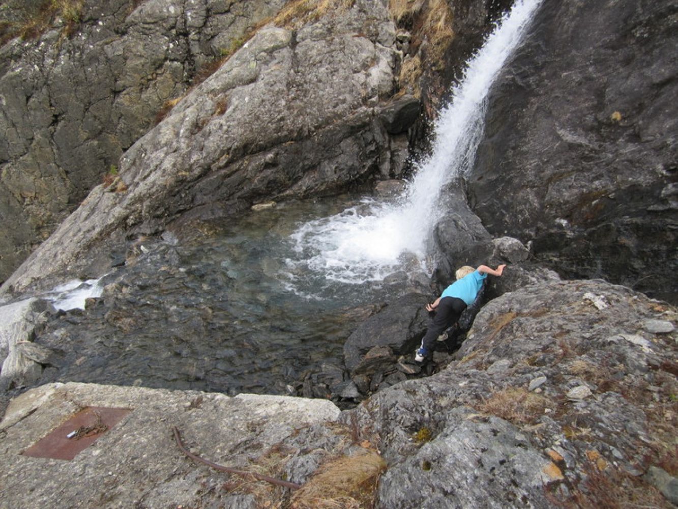
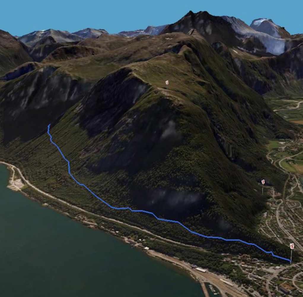
The trail starts along the road up to Nebba and Aksla from the centre of Åndalsnes. After climbing the first set of stone stairs on your way to Mount Nebba, take the turn to the left onto a smaller path through the forest. Follow this path until you reach the place for a fire with benches. From here, continue following the hillside around the ridge until you come to the more moderate terrain just above the exit from the Nebbe Tunnel. The path slopes gently from here and takes you past the old slalom trail and some water reservoirs. After you pass the pump station, the path heads slightly down (past the area with the avalanche risk) and changes into a better path. Follow this path all the way up to the Vikåa river. The final section of the trail, just before you reach the river and the old water intake facility, ascends slightly steeper. Source:

 Driving directions
 Route data