Veibergsætra from Løvoll
Fjord
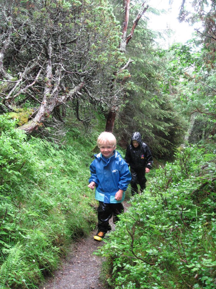
The trail to Veibergsætra follows a forest road and a well-defined path through various types of forest terrain. This could be a lovely hike in the afternoon or evening where you will walk along old transport routes and rural paths in the village.
The trail starts from the clubhouse in Løvoll. There is plenty of parking space along the municipal road next to the clubhouse. Walk north along the municipal road to Kleiva for about 800 metres.
Turn off to the right onto a tractor road just before a red garage. You will see a signpost for the mountain farm Veibergsætra. Follow the old rural road down the Kleivadalen Valley. You will normally walk through two gates before turning off onto a path that goes to the right (east). Please remember to close all the gates behind you. Animals often graze in the area. Where a path begins to the right, you will see another sign for Veibergsætra. About 50 metres after the beginning of this path, cross a brook/small river over a new bridge. The path runs northeast up the hillside after you cross the river. You will primarily walk through various types of deciduous forest and blueberry fields along a well-defined path. A couple of hundred metres before the farm, you might spot a path that runs from your left-hand side (it might be difficult to see it). This is the old rural path from Veiberg which you can follow on your way back if you want to do a short loop trail. You can then pass by the viewing point on Kleivahammaren before walking back up to Kleiva and further to the car park in Løvoll.
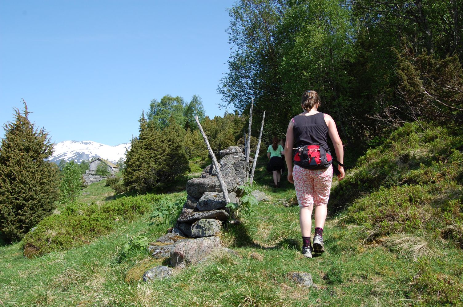
The final section of the trail up to the mountain farm is almost flat. You will come up to an open mountain pasture with an old farmhouse and the remains of another building. The trail postbox is attached to the wall of the remaining house.
Drive along the county road from the centre of Eidsdal towards Geiranger. You will come to Lake Eidsvatnet after about 10 km down this road. Follow the sign that points north to Kleiva. Park your car next to the clubhouse of the Eidsdal Sports Association (the old school building with an annex). The club house is located at the highest point of the road, after about 2 km from Lake Eidsvatnet. You can also park at the marked car park in Kleiva, at the end of the road, but this car park can only accommodate 3–4 cars.
Duration
1 t. ein v

Sesong
Spring, Summer, Autumn
Signage
Both signed and marked
| Surface type |
Distance |
| Asfalt |
0,2 |
| Grus |
0,0 |
| Sti |
2,2 |
It is difficult to get to the starting point without a car since there are few bus routes between Eidsdal and Geiranger and even fewer run past Løvoll.
The clubhouse of the Eidsdal Sports Association was originally an old school building that stood in Eide. It was moved to Løvoll in the 1970s and extended in the 2000s.
The trail goes through the old rural road called Kleivane. Veibergsætra summer mountain farm with a pasture and old farmhouses.
Norddal Municipality tourist map 1:50.000
 Driving directions
 Route data
GeoJSON