Vaulsnipa from Vaulen, route 59/61
Vanylven
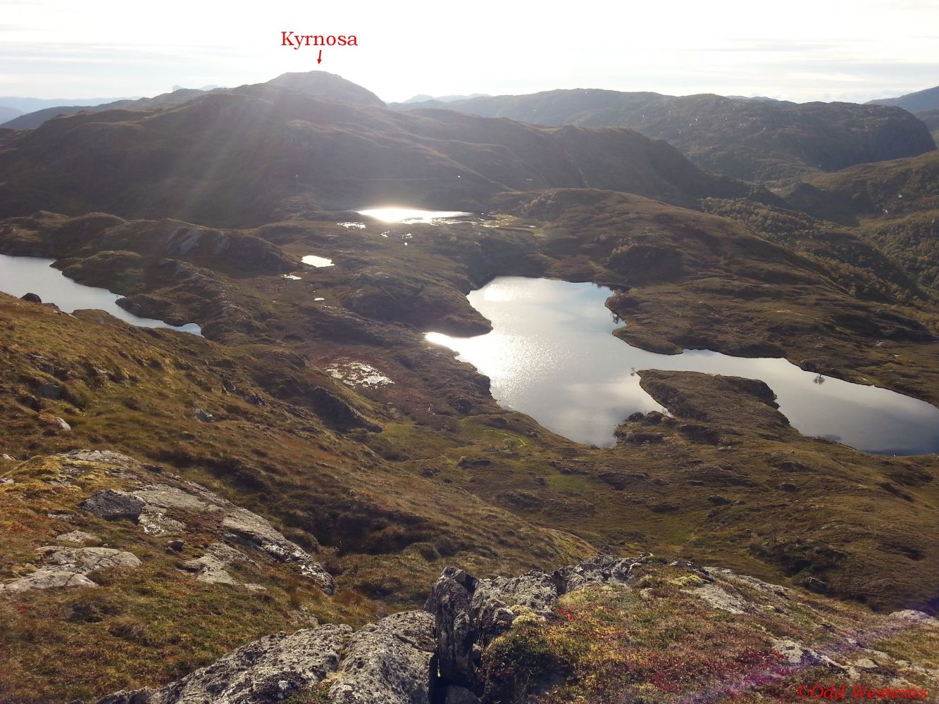
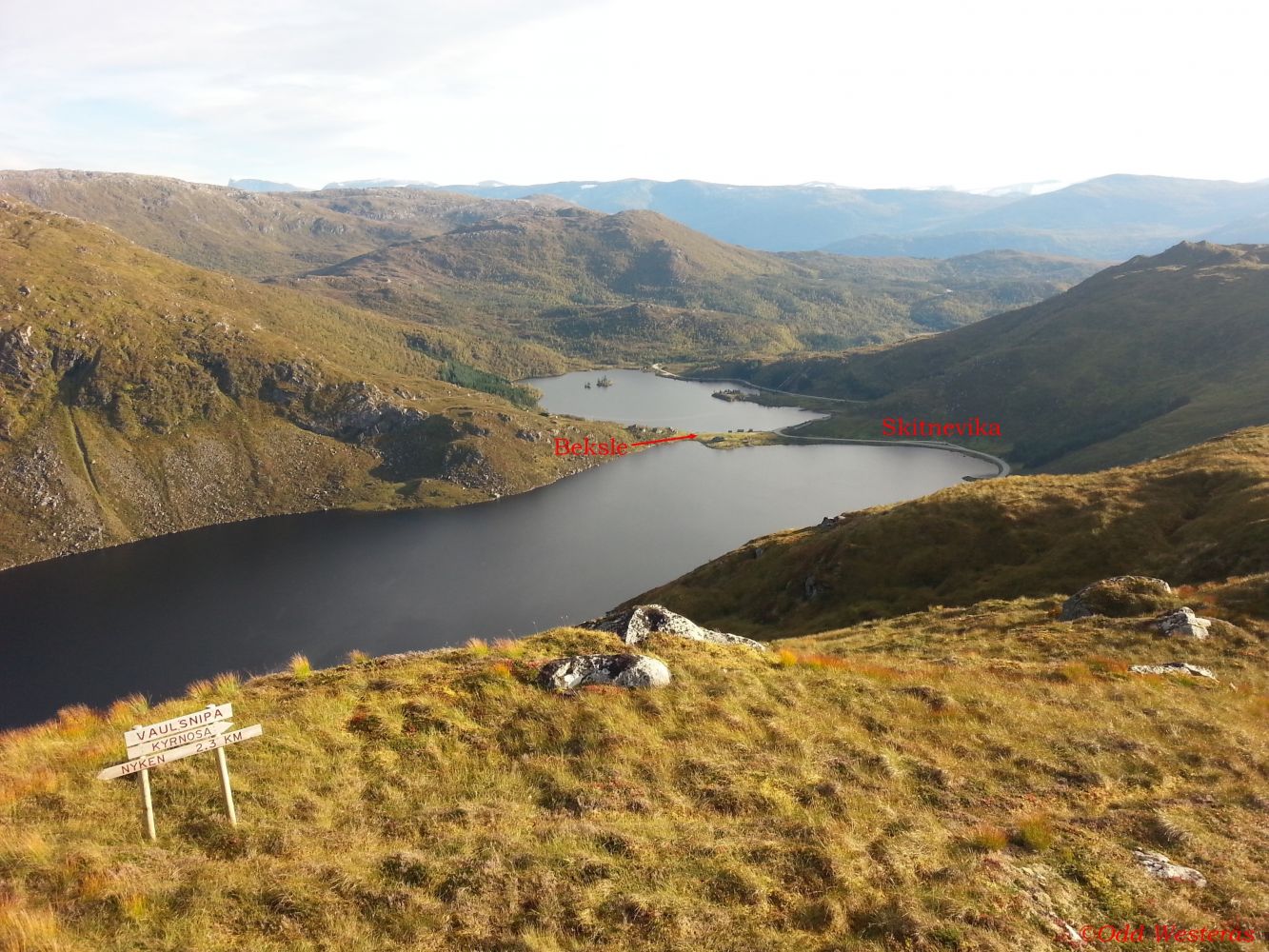
This hiking trail covers relatively easy terrain. It is often combined with longer hikes, either via Kyrnosa to Vaulsnipa and down to Vaulen or from Vaulsnipa further to Nyken and Tusshornet. There are two good fishing lakes at the foot of Mount Vaulsnipa, Nipevatnet and Krokevatnet. At the eastern end of Lake Krokevatnet, there is a barbecue place with stone seating. In order to reach these two lakes, you can either follow the route to Kyrnosa down to Nipevatnet or turn off where the path goes towards Nyken (signposted) and walk west again towards Krokevatnet. Vaulvatnet and Bekslevatnet are also good fishing lakes that are located below the car park at the start of the trail along FV61.
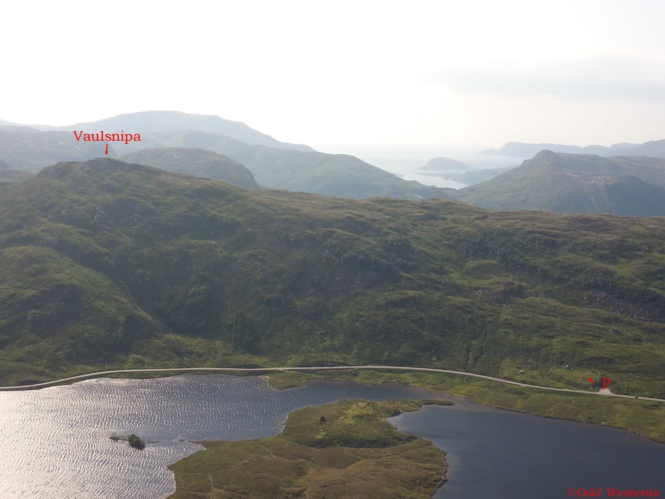
The trail starts from Vaulen which is located along FV61 between Åheim and Bryggja/Maurstad. You will see a sign showing the direction from the car park. The path is well waymarked and clearly seen in the terrain. It runs southwest from the car park towards the top of Vaulsnipa.
From the junction in Åheim, follow FV61 over the bridge in the direction of Måløy. The car park and the starting point of the trail are in the Maurstadeidet area, 4.9 km from the junction in Åheim.
The car park at the start of the trail is well-maintained and free to use.
Distance
2,6 km both ways
Duration
1 t. 25 min.

| Surface type |
Distance |
| Sti |
2,6 |
Hiking map: På tur i Vanylven (Eng. Hiking in Vanylven) – can be purchased at local shops and petrol stations in Vanylven Municipality.
 Driving directions
 Route data
GeoJSON