Vatthornet and Klovevatnet (Kloven)
Sande
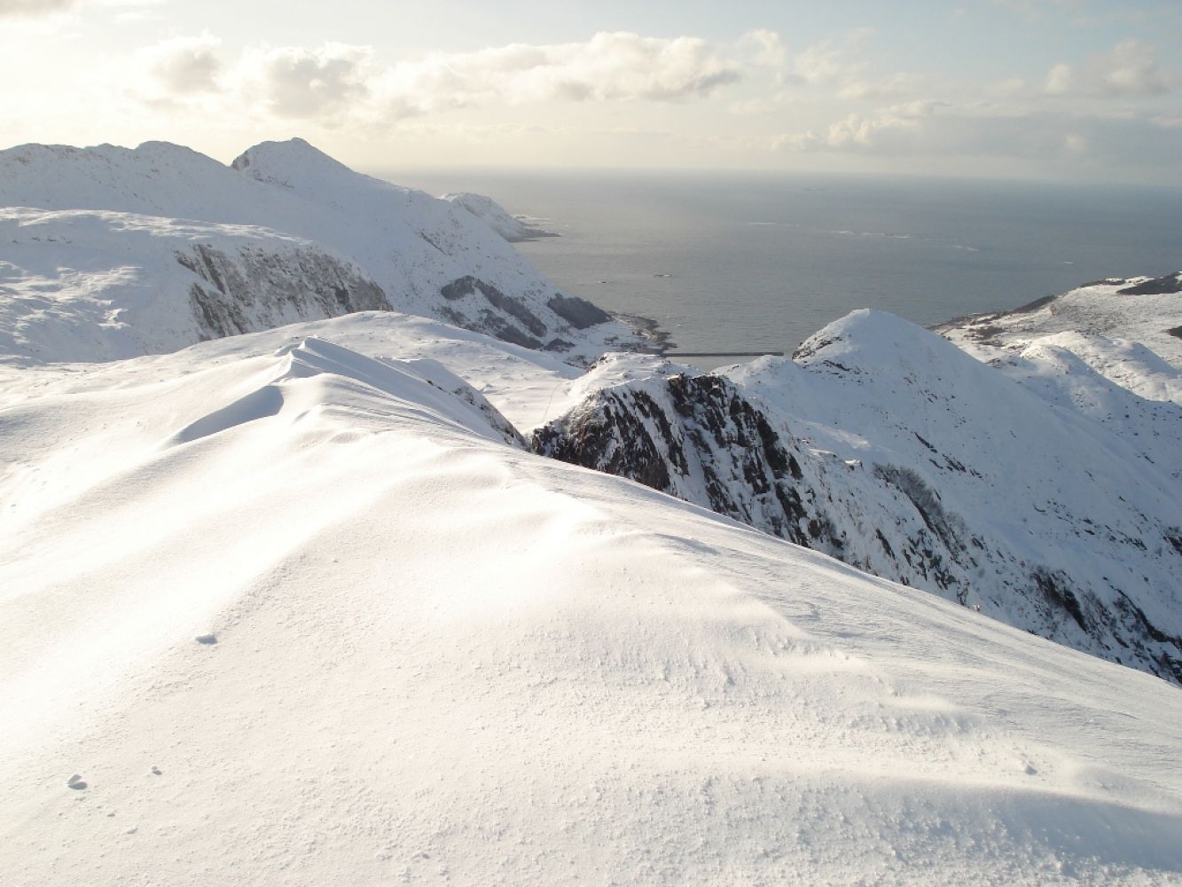
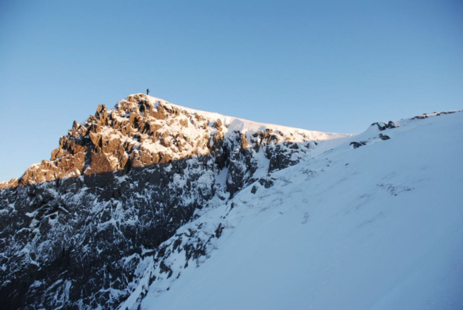
This scenic ski trail offers a fantastic view of the ocean with the island of Svinøya in the northwest. From the peak called Kloven, you can see Storetua, Sollia, Nystøylhornet, Stadt, and parts of the Sunnmørsalpane mountain range.
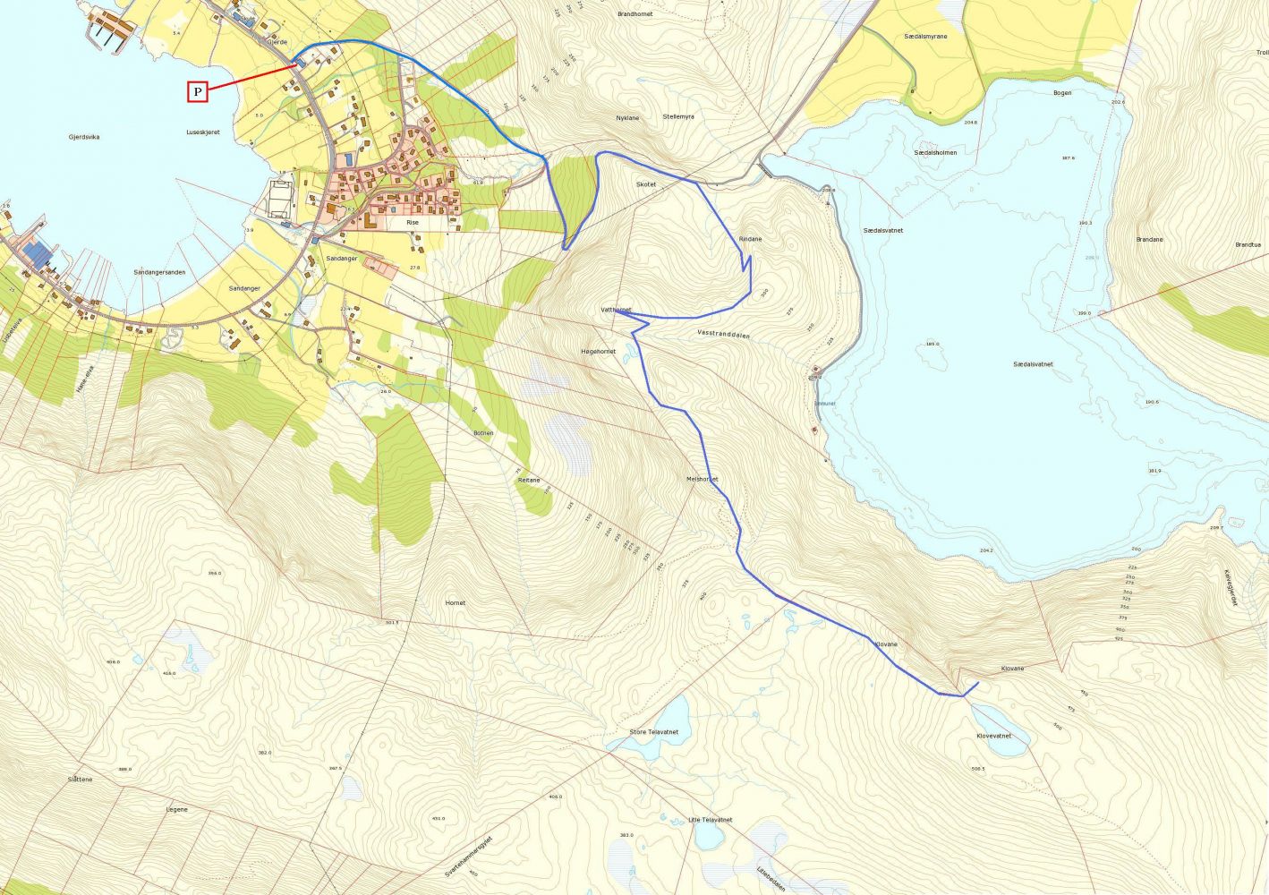
You can extend this trail to Storetua and go all the way to Gursken (please check the description of the Storetua trail). If you return to Gjerdsvika, the length of the entire route will be about 12 km. Two sports associations, Gjerdsvika IL and Gursken IL, have a trail post on Storetua.
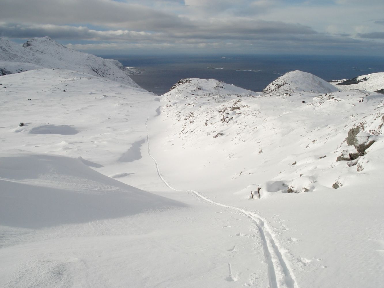
Follow the road in the direction of Sædalen. Once you pass Skotet and come up to the first flat stretch of the road, turn right before the bridge and go southeast (Rindane). Keep west of this rocky outcrop. Follow the waymarks to the top of Vatthornet, 335 m a.s.l. Fjelltrimmen by the Gjerdsvika Sports Association (Gjerdsvika IL) has a trail post on this peak. From Vatthornet, continue south and further inland until you reach Lake Klovevatnet at 505 m a.s.l. The terrain here is varied, but good for skiing if you use ski skins.
Start walking from Fredtun, a community hall in Gjerdsvika, and follow the road up to Sædalen (you may have to carry your skis in the beginning). Follow the gravel road for about 1.7 km before turning off to Vatthornet and Klovevatnet.
You can park your car free of charge by the community hall Fredtun in Gjerdsvika, about 200 m north of Coop Market.

 Driving directions
 Route data