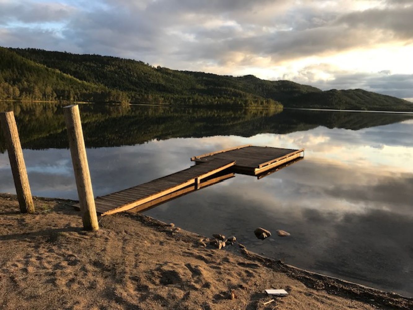
Vasslia–Reitvatnet
Tingvoll
This lovely trail follows Tingvoll Municipality’s newest upgraded hiking/cycling path.
The trail runs along the beautiful fishing lake Bergemsvatnet (fishing licences are available) and further up along the Reitelva River. Follow this route until you come to an intersection of paths where you will see Lake Reitvatnet in the southwest.
Drive along RV70 until you reach Risset near the road turns in Bergem. Turn onto FV301 and drive for 4 km further until you come to a designated parking bay along the right side of this road.
Duration
1 t. 30 min.

Sesong
Spring, Summer, Autumn
| Surface type |
Distance |
| Grus |
2 |
There are two fishing lakes in the area, Bergemsvatnet and Reitvatnet.
You can buy a fishing licence at the Tingvoll Sport shop on Vågavegen 257.
 Driving directions
 Route data
GeoJSON