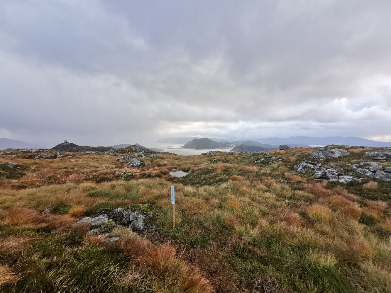
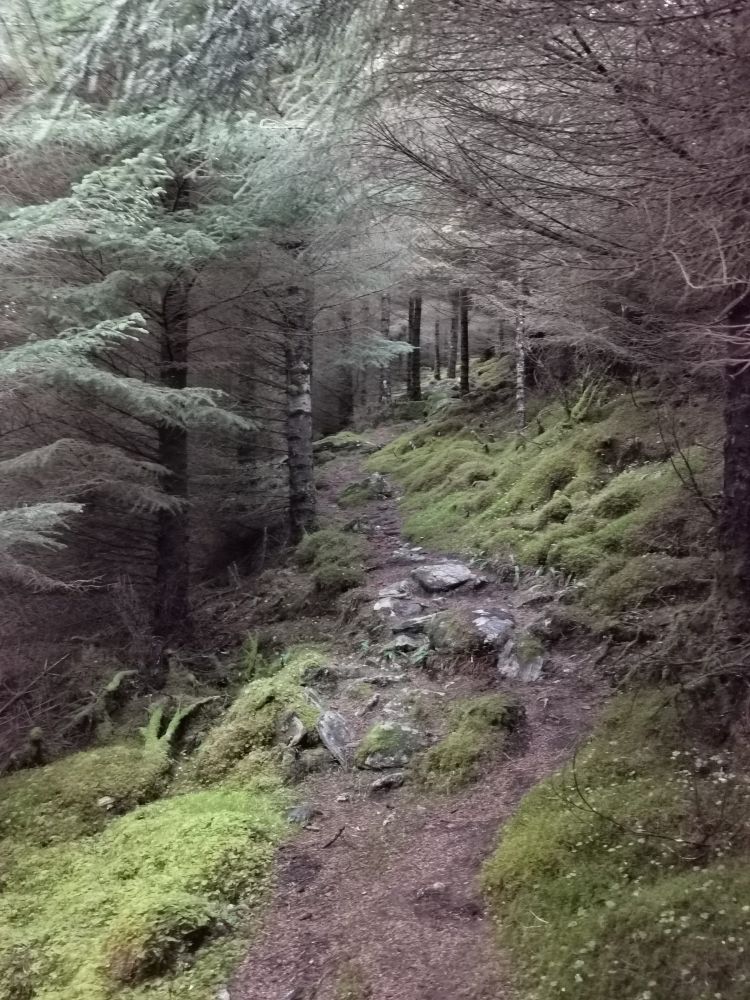
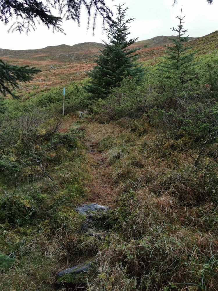
This scenic circular trail is 5 km long. You will walk through a forest and follow a path and a gravel road. The path is marked with reflectors, so it is perfect for an evening walk in the dark season. You can stop by the gapahuk shelter about 100 metres from the starting point.
Route description
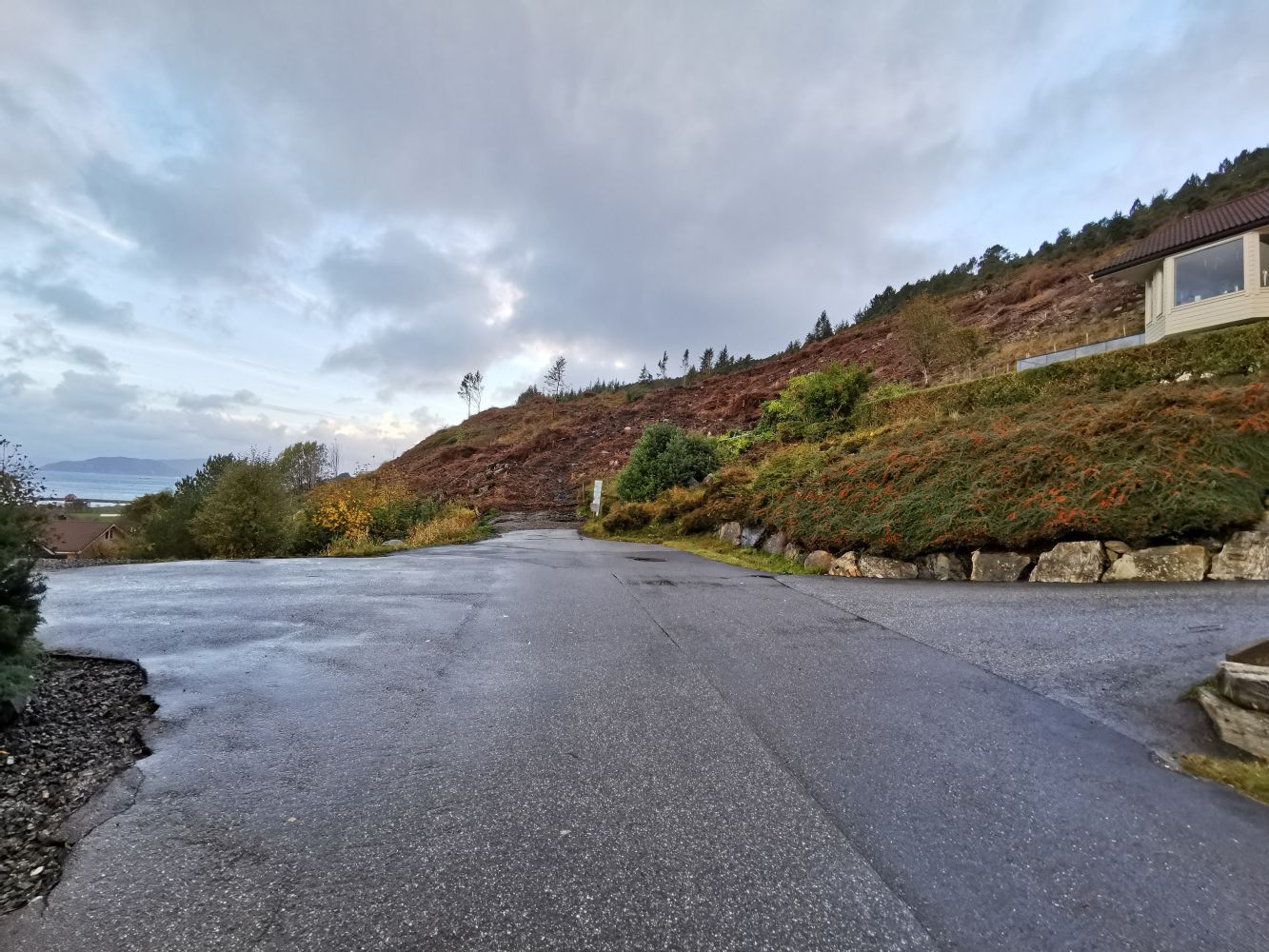
Start walking from the end of Mjelthaugvegen Road. The trail is marked with sticks at the start. Later, you will see a clearly defined path through the forest, which you should follow for about 1 km. Once you are out of the forest, walk for about 100 metres further up, with a river on your left-hand side. Turn right and follow the way markers until you reach the path to Storevarden. Turn right before meeting the road to Teigetua. Turn right again and follow the road back to Mjelthaugvegen.
Access and parking
There are 3–4 parking spaces at the end of Mjelthaugvegen Road. Alternatively, you can park by Nerlandsøy Chapel, where there is more parking space.
Hiking route
Green
Distance
4,83 km one way
Elevation
255 m
Duration
1 t. 55 min.
Sesong
Winter, Spring, Summer, Autumn
Highest Point
279 masl
Signage
Both signed and marked
Map route
Surface type
Distance
Asfalt
1
Grus
1
Sti
3
Other
The trail is marked with reflectors and is good for the dark season.

 Driving directions
 Route data