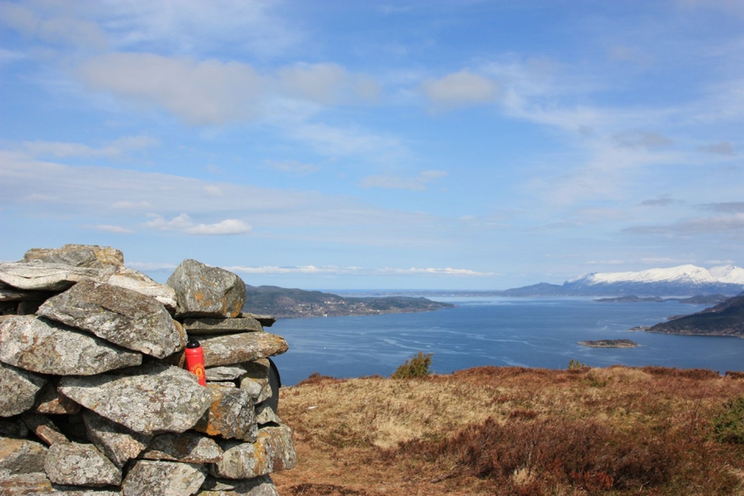
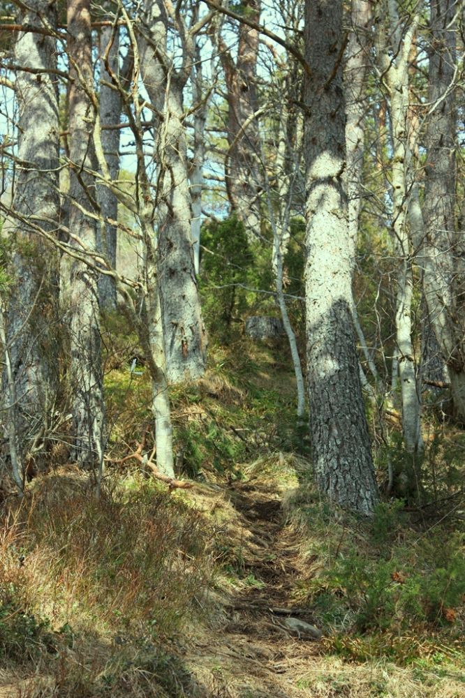
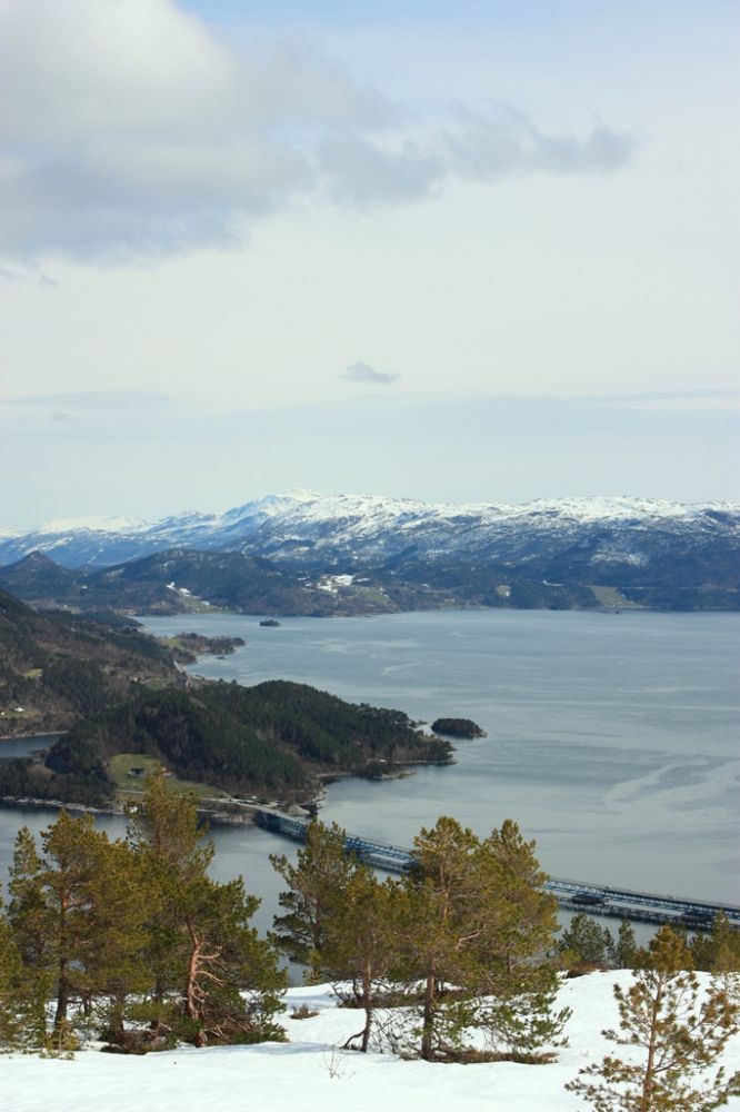
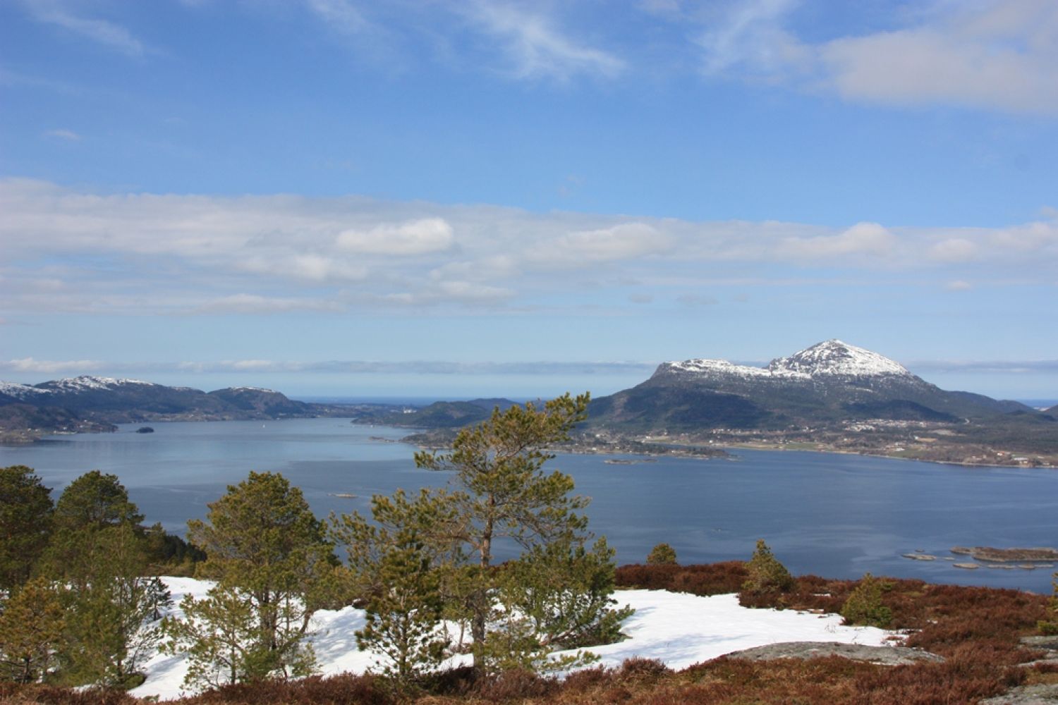
This trail offers a beautiful view both inwards over the Tingvoll Fjord and the Batn Fjord as well as out to the neighbouring municipalities. You will be walking along a well prepared road and path with some ascents along the way which will boost your heart rate quite nicely.
Route description
Follow the waymarks and walk up the forest road until it ends. From here you will see a clear path climbing up towards the top. The first part of the trail goes uphill, but after a while it flattens out a bit. Once you start walking up facing the top, the path will go over some marshland. In 2017 many of the wooden planked footways here were repaired, particularly the most worn out sections. That is why for the most part of the season you can walk up here without getting wet.
The endpoint of the trail with a trail postbox and a journal is by the cairn at the top of the island.
Access and parking
Go to the island of Bergsøya in Gjemnes. The easiest way to get here is by car, but there is also a bus connection via E39.
From the roundabout at Bergsøya (Krifast) follow E39 for 2 km in the direction of Trondheim. Take the turn to the left at the sign to Halset. Drive for 100 metres along the asphalt road, then turn right and follow the gravel road for 1.15 km. Here you will see a forest road taking off on you left-hand side. The road is marked with the wooden sign saying “Varden”. The trail starts after 100 metres up the forest road.
If you are driving form Tingvoll, follow the E39 road across the floating bridge. Once you reach Berge, take the turn to the right at the sign to Måløy and follow the gravel road southwards until you see the wooden sign saying “Varden” on your right-hand side.
There are very few parking spaces, so please consider other visitors when parking so that you do block anybody. You can find a parking space either on the lower side of the gravel road or by the boom gate 100 metres up the forest road.
Hiking route
Green
Distance
1,55 km one way
Elevation
182 m
Duration
1 t. 15 min.
Sesong
Spring, Summer, Autumn
Highest Point
278 masl
Signage
Signed
Mobile coverage
Map route
Surface type
Distance
Sti
1,6
Public transport
There are several bus routes via E39 operated by Fram (http://www.frammr.no/). Get off at the bus stop near Halset and follow the driving directions above. The walking distance from here to the starting point of the trail is 1.35 km.

 Driving directions
 Route data