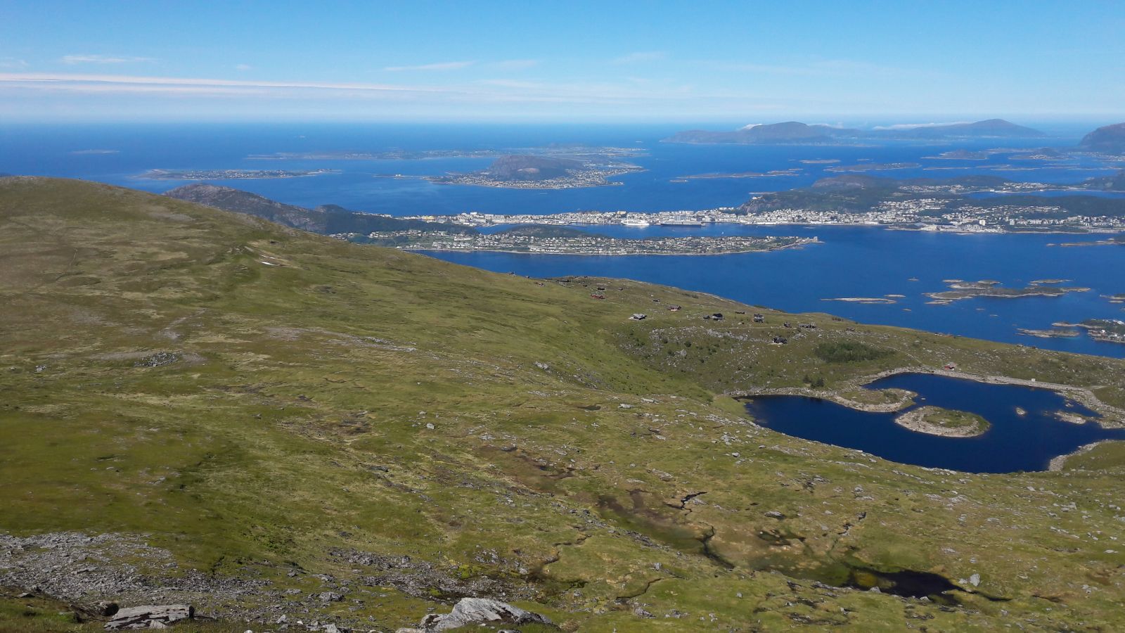
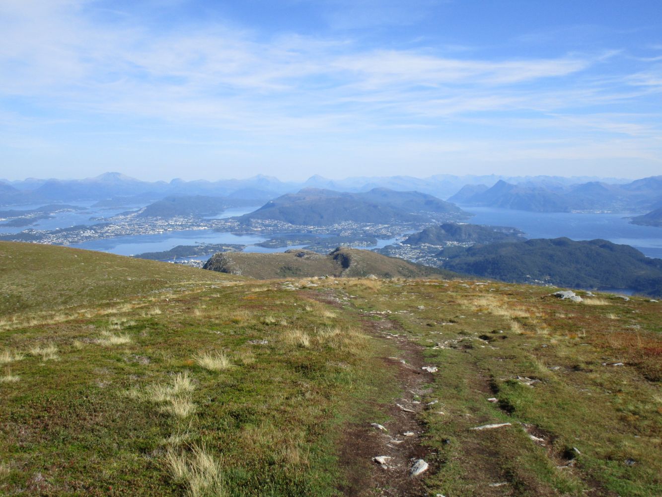
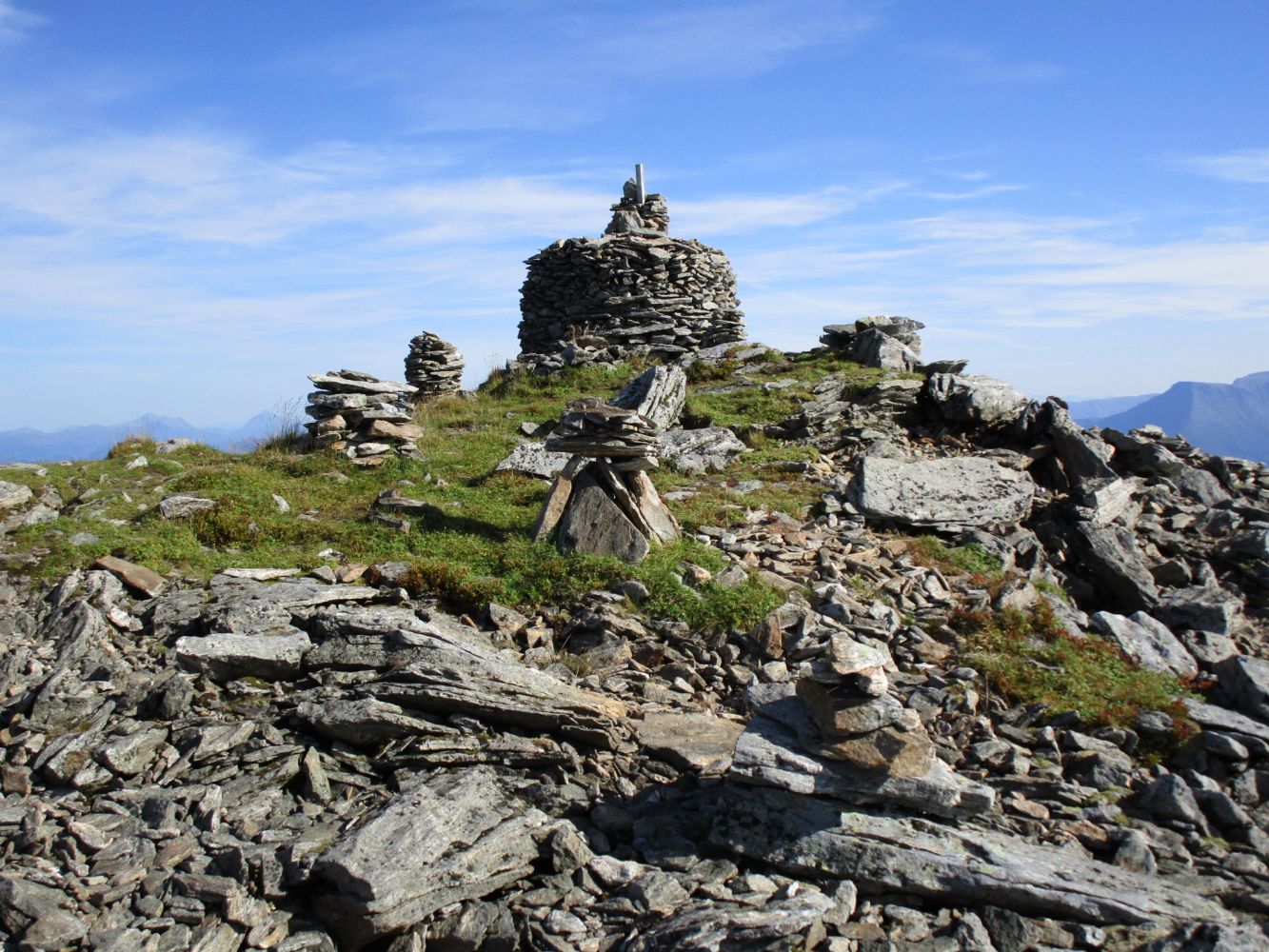
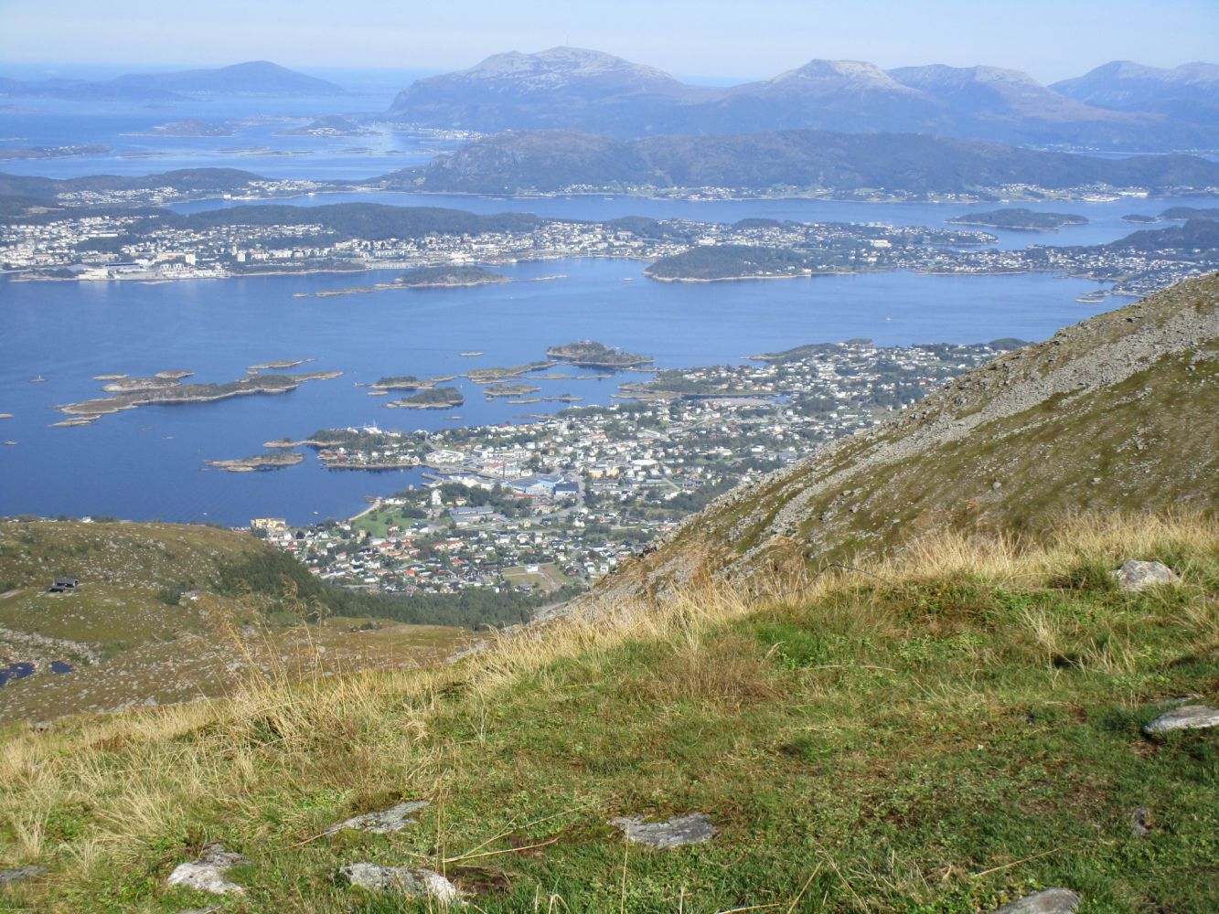
The trail to Vardane, which is the highest point on Sula Island, is available all year round. In winter, there are groomed ski trails to two mountain lodges, Taustua and Rollonhytta. Here, you can buy refreshments on most Sundays and holidays. You will follow a gravel hiking path to Rollonhytta and a clear and occasionally steep path up from there.
Route description
The trail starts from the car park at the north end of Lake Mausavatnet. The first section of the trail is a farm road that later turns into a gravel footpath and continues up to a ski lodge. You have two choices when you reach the ski lodge: go straight ahead or take a 90-degree turn to the right and continue along the illuminated ski trail. If you go straight ahead, turn right after about 150 metres (by a bridge). The two paths meet further up the mountain. From here, just follow the signs until you reach Vardane at 776 metres above sea level. There is a partially marshy area about 300 metres after Rollonhytta. After that, the path is dry and solid, but steep as you approach the peak.
Access and parking
There is a designated car park at the north end of Lake Mausavatnet. If it is full, which often happens during holidays, drive to the other end of the lake and park your car by the football pitch in Allheim.
Hiking route
Red
Distance
5,78 km one way
Elevation
733 m
Duration
4 t. 25 min.
Sesong
Winter, Spring, Summer, Autumn
Lysløype
Deler av turen
Highest Point
705 masl
Signage
Signed
Map route
Public transport
“Sularuta” has a bus route that passes the car park. The bus stop is 50 metres from the farm road. Http://http://www.sularutelag.no (look for the links that mention Sulesund).

 Driving directions
 Route data