Valfjellet 526 m a.s.l.
Tingvoll
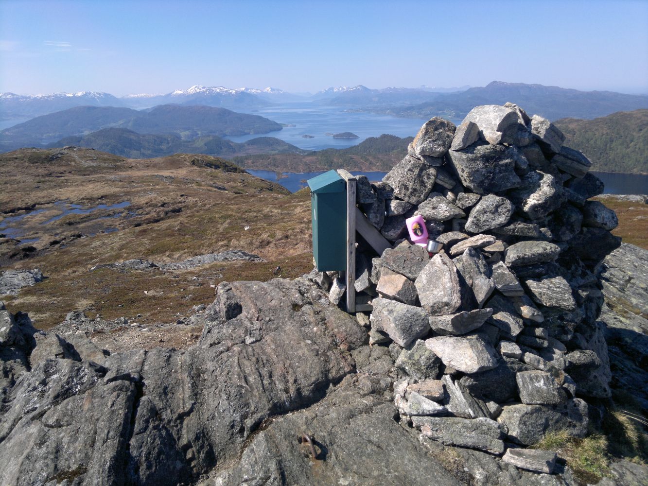
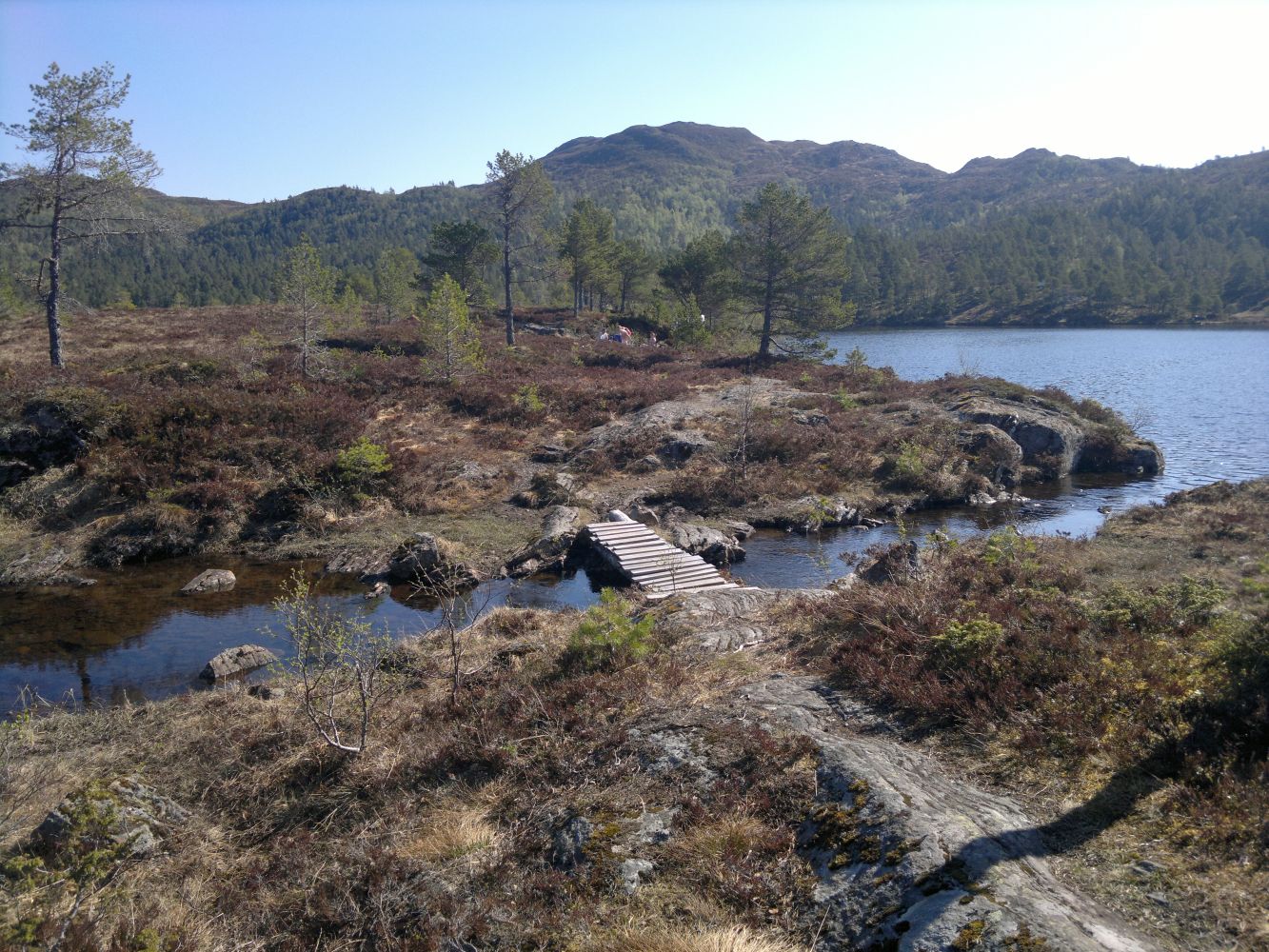
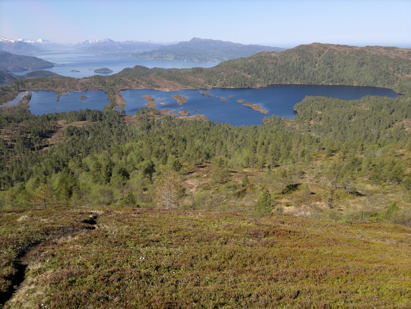
The first section of this trail follows a road which makes for an easy ascent. When you reach Lake Fjellsetervatnet, you will walk along a narrow spit of land that divides the lake into two. There are several nice picnic areas with a great view of the lake along that spit of land. Take a break here and enjoy the calm and beauty of the nature. From the top, you will get a great view of several arms of the fjord and beautiful mountain areas.
Start walking from the car park and turn left up the road to the Straumsnes water plant. From the water plant, follow a slightly worse tractor road that goes up to the left. It swings left quite soon. Follow the waymarks. Turn off the tractor road and go right just before the cabin area around Lake Setervatnet. Follow a well defined path until you come to Lake Fjellsetervatnet. You will see a narrow spit of land that divides the lake into two here. The path follows the spit across the water. There are several nice picnic areas here. You will now see Mount Valfjellet in front of you. The trail continues into the forest. As you walk further, the path begins to climb uphill. There is a clear path leading up to the cairn at the top. Follow the same way down to the starting point.
Drive in the direction of Trondheim and the ferry terminal Kanestrøm – Halsa. Turn off the road when you see a sign for Kvisvika and the Straumsnes Church. After about 4.5 km, just before you reach a residential area in Kvisvik, turn right. You will soon pass a boom gate where you have to pay a fee. Follow this toll road until you see a sign for Valfjellet. Park your car along the road. Follow a steep road to the left that leads up to a water plant.
It is about 980 metres from the main road to the car park.
Duration
2 t. 50 min.

Sesong
Spring, Summer, Autumn
| Surface type |
Distance |
| Sti |
4,2 |
1321 II Kristiansund 1:50 000 og turkart Tingvoll tourist map 1:50 000
 Driving directions
 Route data
GeoJSON