Valderøya — Signalen (231 m a.s.l.) from Kolvikparken
Giske
This is an easy hiking trail in beautiful natural settings. Closer to the mountain top you will have to walk through some rocky patches, which can be a bit more challenging. Small children might need some help here. You will come across a number of great viewpoints both along the way and at the mountain top. The way up will take you about 20–30 minutes. If you are walking with small children, it might take about 45 minutes.
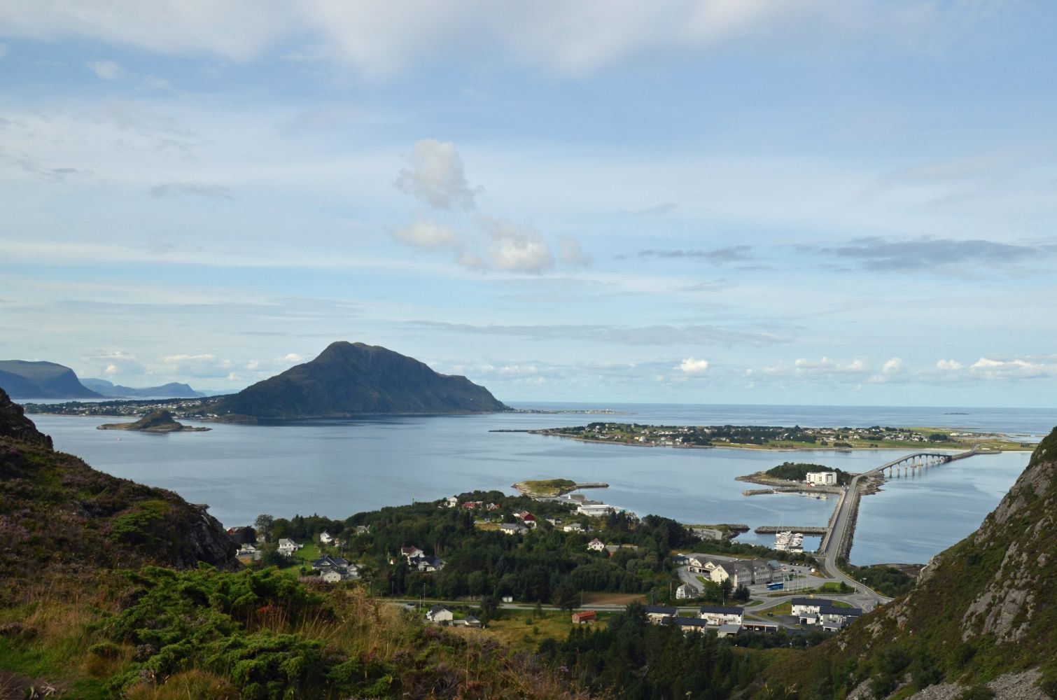
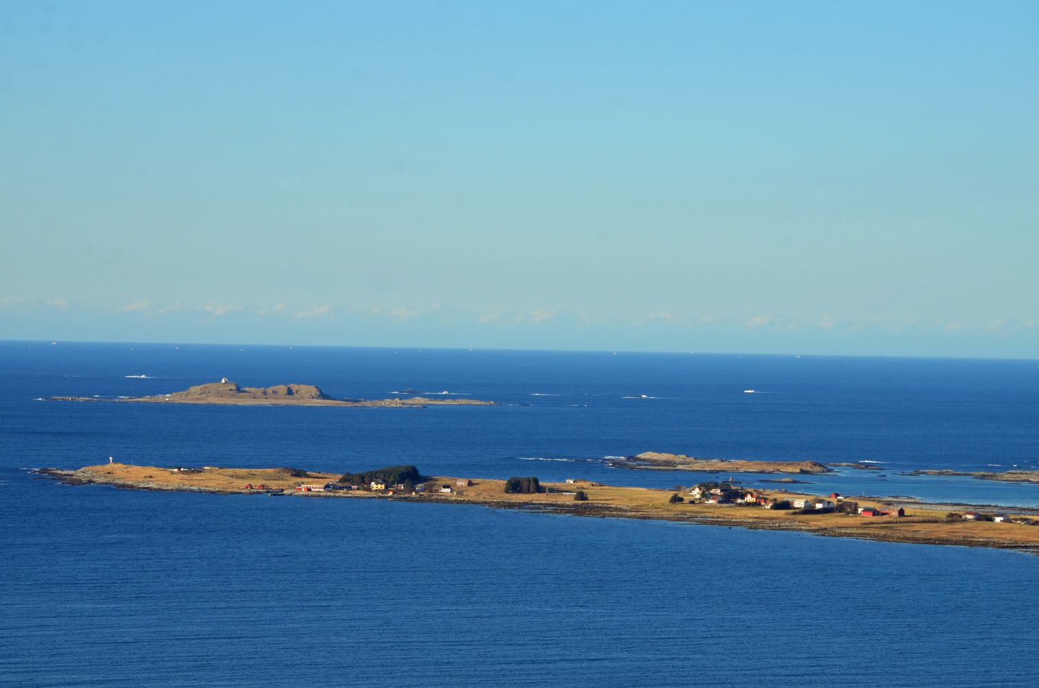
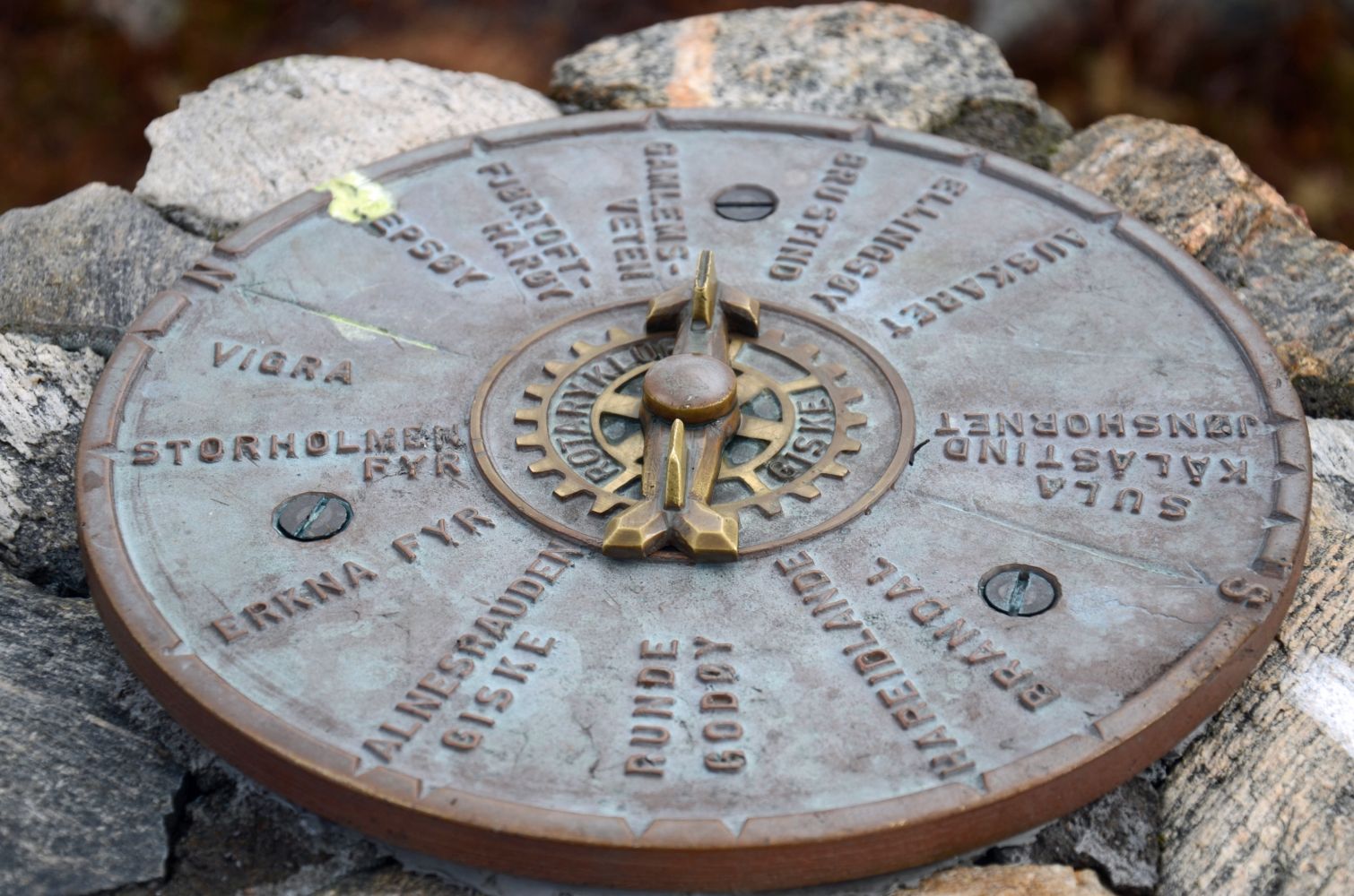
From the car park along Kolvikparken, walk straight into the forest and follow the path as it climbs up. The first height you will reach is called Lille Måsetua. Here you will see several paths coming from Skjong. From here you will get a great view towards Skjongholmen, Giske and Godøya.There is a short downhill section here which can be difficult to follow for small children. Then the path continues up to the top on the right side of Måsetua facing the mobile antenna in front of you. An alternative path runs along the left side of Måsetua climbing up along the edge in the direction of Skjong / Ytterland. This section is steeper and requires a bit more climbing.The main trail features an easier ascent upwards before you reach a steep patch with a bit of climbing involved. Help your small children through this patch. Right before this section, you will see a path from Grødalen in eastern Skaret crossing the main trail.On your way up take your time to enjoy a great view towards Mount Gamlemsveten and the waterway in the north facing Lepsøyrevet.The path flattens out slightly before the final ascent to the top. At the beginning of this ascending section you will see the Kvilesteinen stone in the middle of the path. This is a place where children like to take a little break from walking. From this stone it will take you just a couple of minutes to get to the top.You will find a stone cairn at the mountain's highest point Signalen, 231 m a.s.l. From here you will get a fantastic view in all directions. You will see Erkna and the Storholmen Lighthouse in the west, in addition to an entire panorama of Vigra, Nordøyane, Gamlemsveten, Sunnmørsalpane, Ellingsøya, Ålesund, Hareidlandet, Godøya and Giske.On a small hilltop on the other side of the mobile antenna there is a cairn with a circular viewfinder that has a rotating arrow telling you what you see in various directions.Once you are at the top, you will see various other paths leading up to the top. There are two paths going north towards Sætreaksla and Sætredalen, while in the east the path is climbing up from the direction of Borghildryggen and Nordstranda .The trail to Signalen and Valderøyfjellet has many alternative routes to offer, and you can also combine these with a hiking trail along the mountain foot past the Skjonghellaren cave.Enjoy a fantastic view of the open sea with Erkna in the west, the Storholmen Lighthouse in the north and an entire panorama of Vigra, Nordøyane, Gamlemsveten, Sunnmørsalpane, Ellingsøya, Ålesund, Hareidlandet, Godøya and Giske.
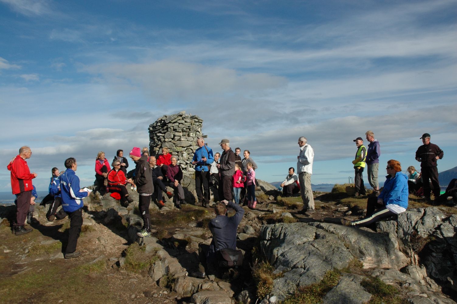
The cairn at the top of Signalen on the island of Valderøya.
This is the highest point on the island of Valderøya reaching 231 metres above the sea level.
The trail to Signalen, the highest point of Mount Valderøyfjellet, starts from the car park next to the Kolvikparken road in Skaret on the island of Valderøya.
If you are driving north along the Øvstevegen road on Valderøya, turn off the road south of the “Spar” supermarket and carry on driving along the rows of houses up towards the forest. You will find a car park at the end of the road. This car park is quite small. There are more parking spaces available in front of the school (at weekends) and the church. Both lie just to the south of the “Spar” supermarket.
You can park your car along Kolvikparken which is the starting point of the trail. Alternatively, there is a car park by the Valderøy school (afternoons and weekends / holidays) or by the Valderøy church.
Duration
1 t. 5 min

Sesong
Winter, Spring, Summer, Autumn
Signage
Both signed and marked
| Surface type |
Distance |
| Sti |
1,19 |
There is a Nettbuss bus stop in front of the “Spar” supermarket. It takes you 10 minutes to walk to the start of the trail from here.
During the periods of heavy rain some sections along the trail can be quite muddy.
Sætredalen nature reserve lies to the north of Signalen. The purpose of the nature reserve is to protect the population of seabirds and other nesting birds. No trespassing is allowed here between 01.05 and 31.07 every year, and dogs have to be on a leash all year round.
Mount Valderøyfjellet is a grass- and heather-covered area categorized as a wild habitat with cultural landscape and coastal heath landscape. According to the regulations on selected natural habitats under the Biodiversity Act, coastal heathland belongs to the selected natural habitats. There are small ponds and streams in the area. The surface is mostly soggy and wet with stretches of rocky mountain areas. Outdoor activities in the area pose a threat to the nature, both inside and outside the reserve. When people come close to the nesting areas, adult birds tend to leave their nests, and as a result the eggs become both vulnerable to predators and unprotected from weather conditions. Preserving the local vegetation is also important for the wildlife on the mountain. The low vulnerable plant species which are typical for the area must not be damaged, as the birds depend on certain plants to be able to nest. This is why all hikers must take special care of the nature.
 Driving directions
 Route data
GeoJSON