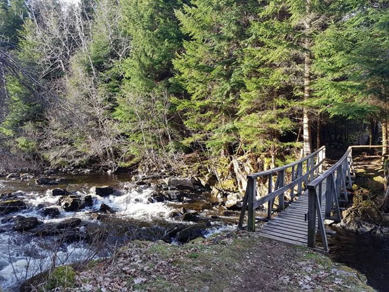
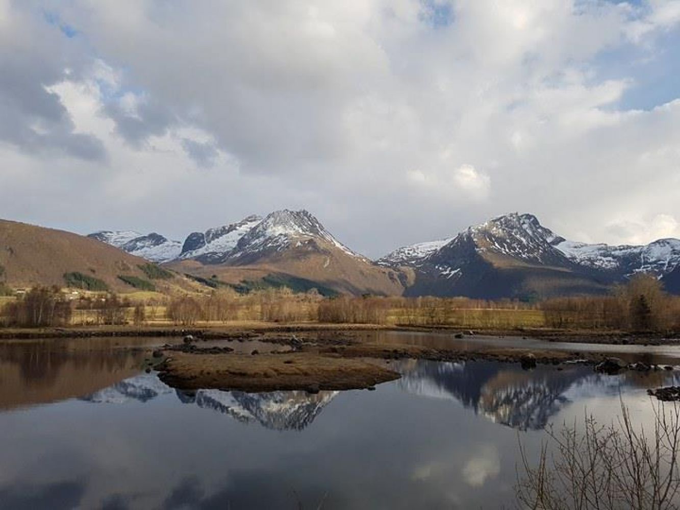
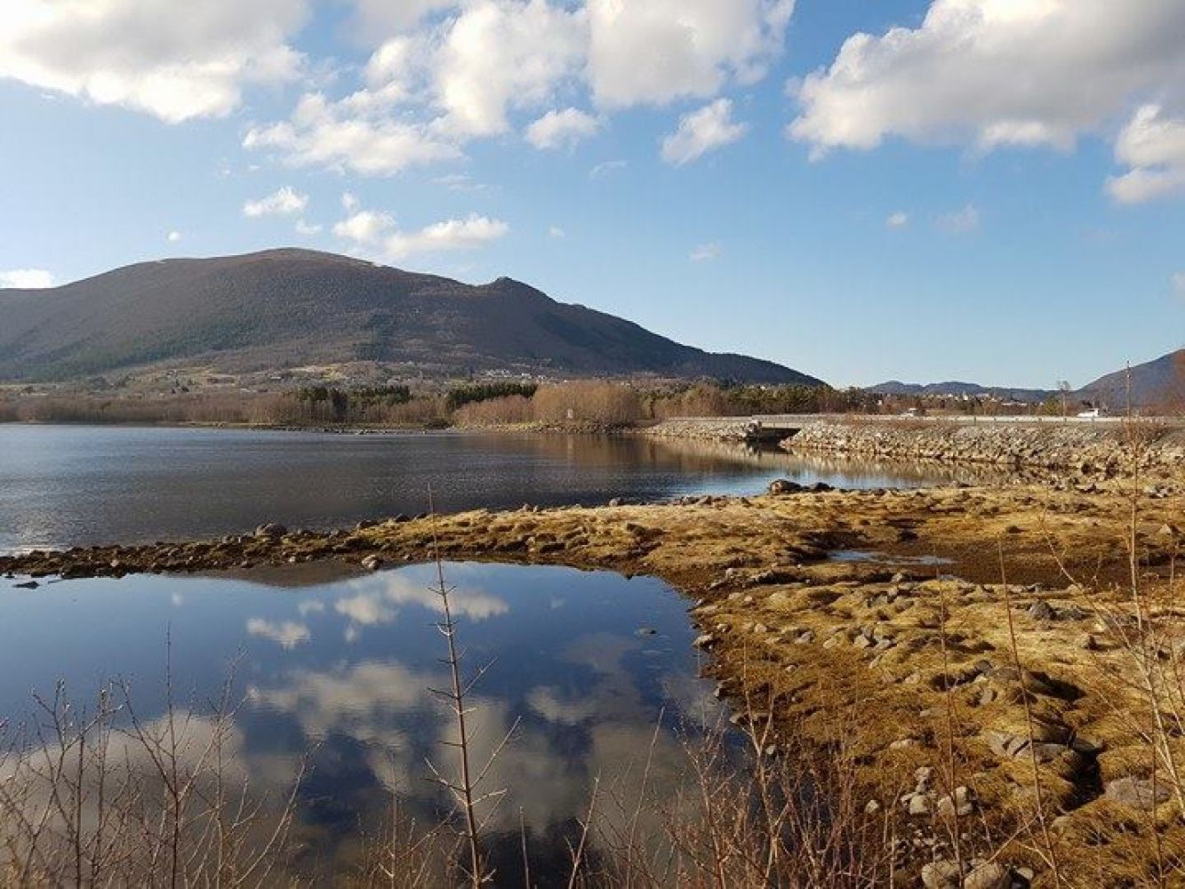
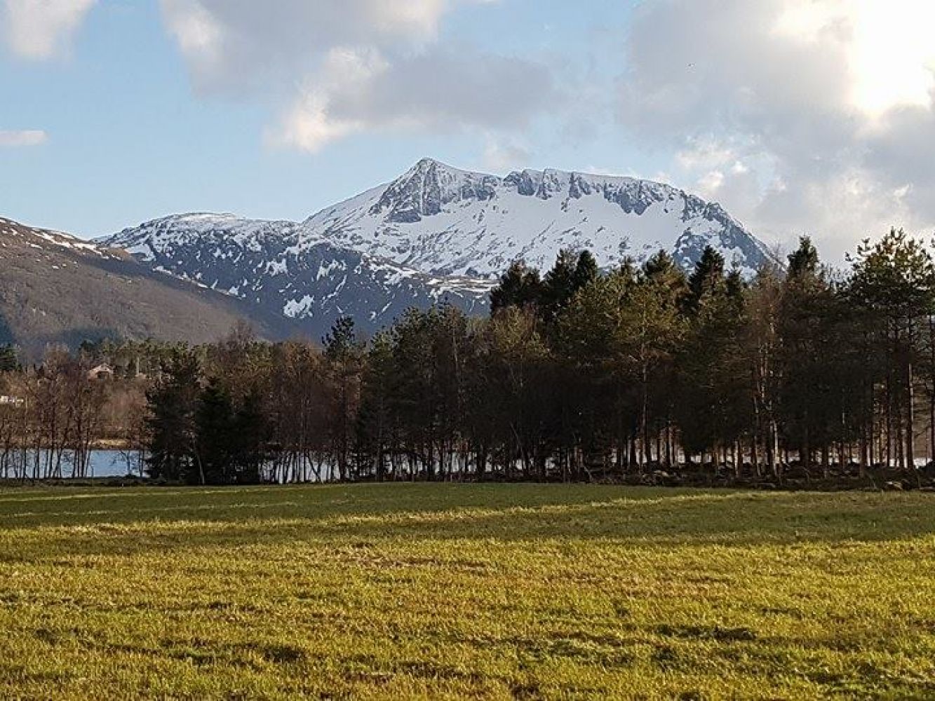
This long looped trail follows a walkway and offers a lot to see. There are several possible starting points. Please see our suggestions in the description below. Among other things, the trail goes across the Holmsund bridge, past Svanviken and along the Vågsbøelven river. You will often encounter plenty of wildlife along this trail, especially birds. If you are lucky, you might spot a salmon in the lake or a deer in the forest.
Route description
Prepared walkway for the most part of the trail with some sections of gravel road. Alternatively, a small forest road. Most of the way you will walk on flat ground, but there will be some hills on your way from Eide down towards Holmsundet. It is easy to find your way. Remember to turn right once you are in front of the XL Bygg shop, then walk to the right again when you reach the Istad Kraft building and to the right after you pass the Holmsund bridge. You can start your trail from a number of different places. Recommended starting points are the Sjelvika petrol station, the area before the Holmsund bridge with the large car park or the area right after the Holmsund bridge.
Access and parking
Before the Holmsund bridge from Eide, after the Holmsund bridge or by the Sjelvik car service.
Hiking route
Green
Distance
5,06 km one way
Elevation
52 m
Duration
1 t. 25 min.
Sesong
Winter, Spring, Summer, Autumn
Highest Point
24 masl
Mobile coverage
Map route
Surface type
Distance
Asfalt
3,5
Public transport
There are several bus stops along the way from the Sjelvik car service to the Istadkraft building.

 Driving directions
 Route data