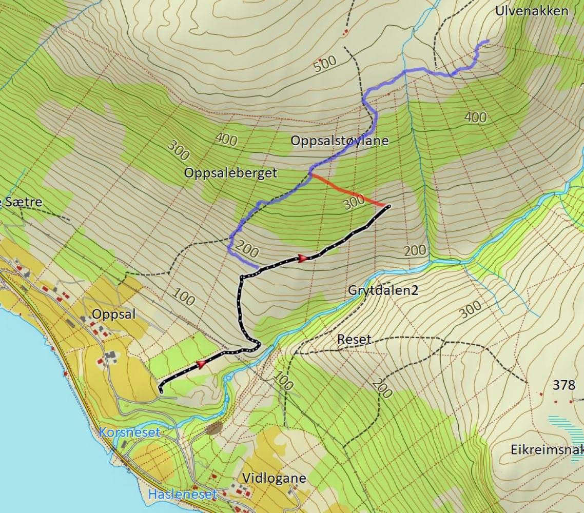
Ulvenakken, route 43b – from Røda in Syvde to Ulvenakken
Vanylven
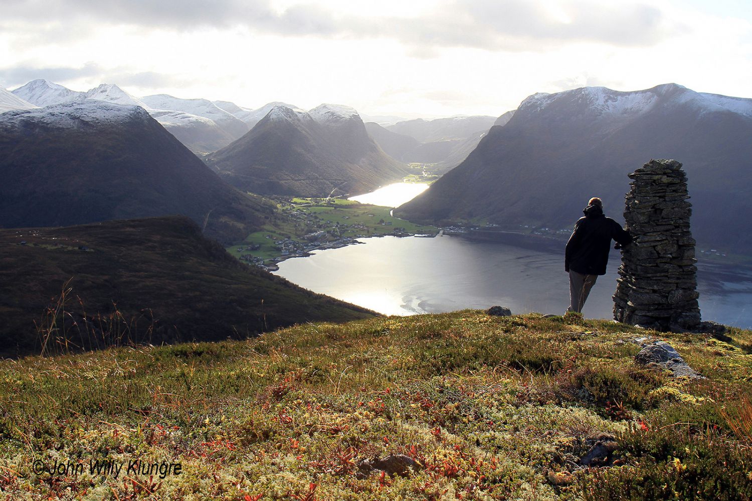
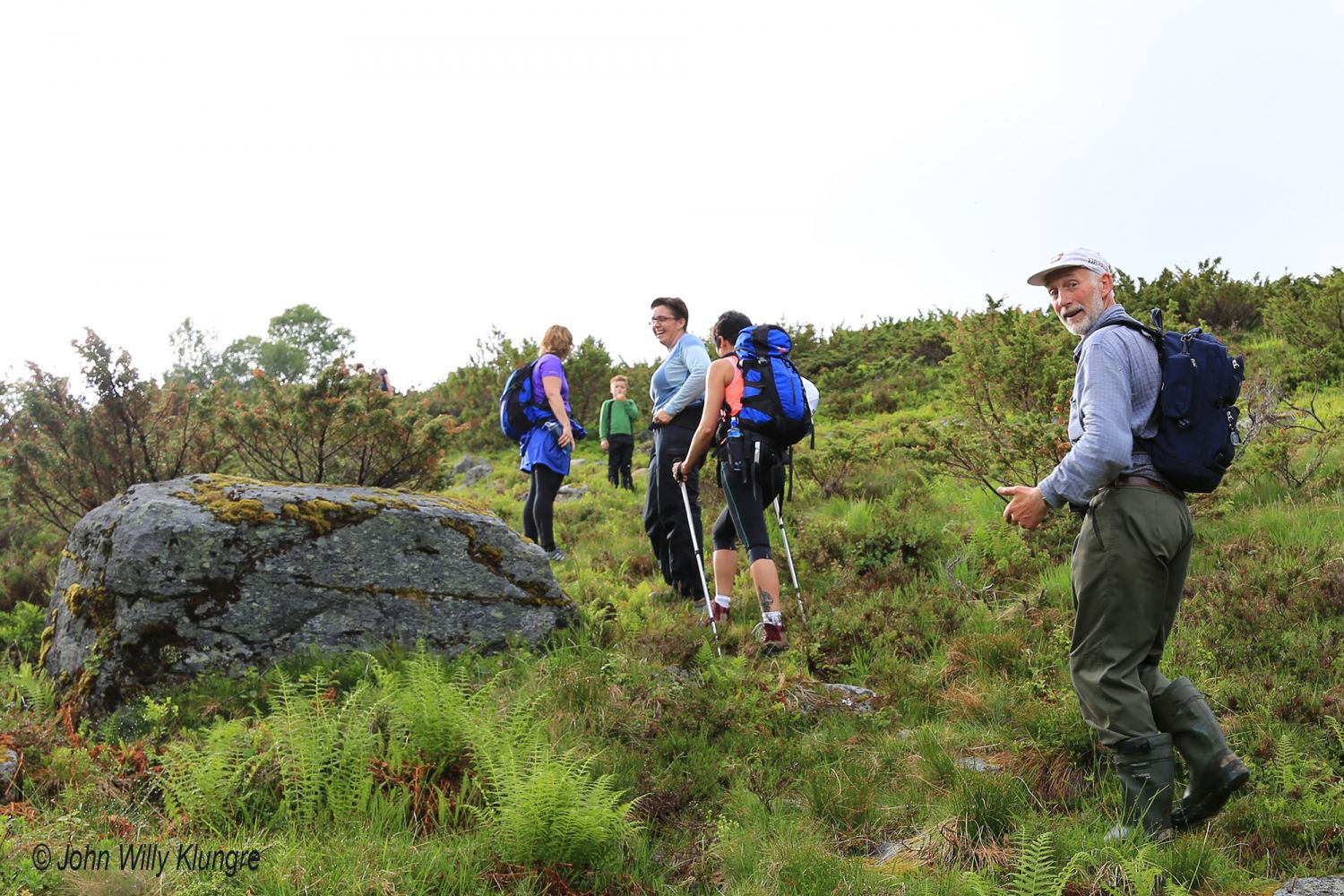
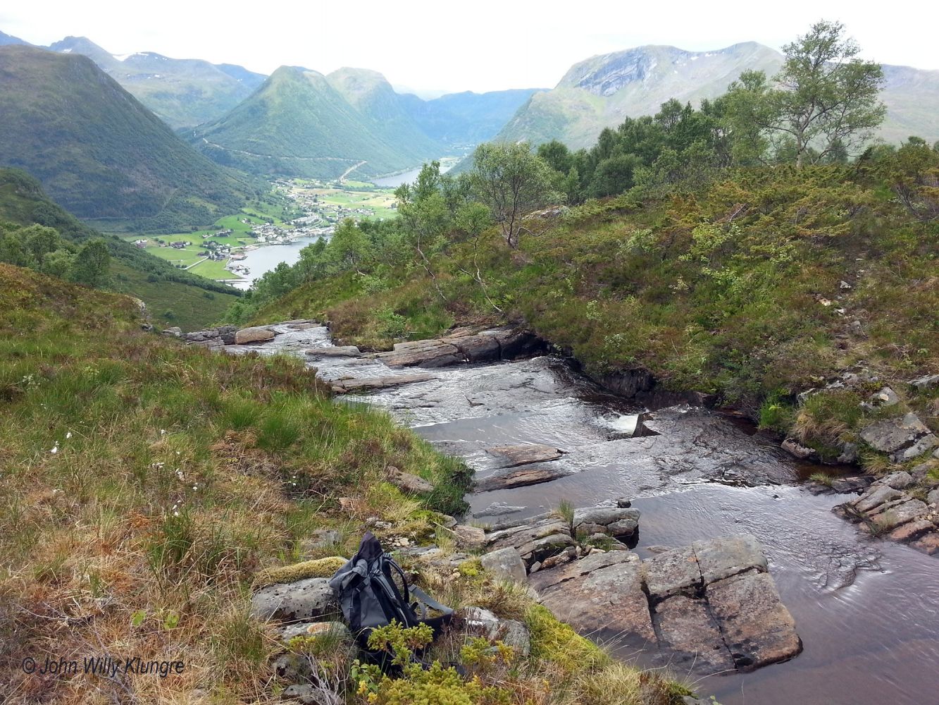
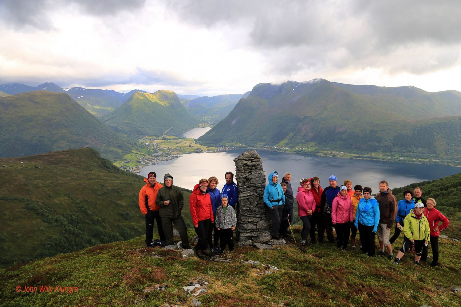
This scenic trail covers various types of terrain and offers diverse outdoor experiences. Ulvenakken is the highest point at the end of the mountain ridge on the western side of the Grytdalen Valley in Syvde. With its 560 m a.s.l., the top is clearly visible from large parts of Syvde. Large sections of the trail go through deciduous forest dominated by birch trees. Once you are above the tree line, the landscape will open up and you can enjoy a beautiful view. Most of the time you will follow the old milk path that was used by milkmaids from Sætre and Opsal when they carried milk from the mountain down to the farm. The path is well-maintained and easy to walk on. Milk paths were usually the shortest possible ways to get from a mountain farm down to the home farm. Since the paths were used every day, it was important to make them short. This is why such paths were often steep. The path to Ulvenakken is also steep at times, but it swings in beautiful hairpin bends up through the landscape. There are also stone stairs in many places, which makes it easier to walk. The beginning of the path is signposted, and the entire trail is well marked except for the places with a clearly defined path where there are relatively few waymarks. Once you reach the tree line, turn right near a large stone and move along the mountainside until you pass the Tverrelva River. It is usually easy to cross that river, except for the periods of high water when you need to walk further up before you can cross it.
The path begins near the gravel pit in Røda. Drive for just over 2 km from the church in Syvde in the direction of Volda. Turn right just before the river that flows from the Grytdalen Valley, turn off to the left and drive over the bridge at the next junction. You will see the sign for Ulvenakken after about 300 metres. Park your car either in this area or up at the next trail sign. After walking in the direction of Grytdalen for a short while, take a turn and move along the mountainside over Bakkegjerdet and west to the farm path up Nausen.
Duration
2 t. 20 min.

Sesong
Spring, Summer, Autumn
Signage
Both signed and marked
| Surface type |
Distance |
| Grus |
1 |
| Sti |
3 |
Hiking map: På tur i Vanylven (Eng. Hiking in Vanylven) – can be purchased at local shops and petrol stations in Vanylven Municipality.
Meir info og bilete om Ulvenakken frå Syvde IL som også har turpost på toppen.
 Driving directions
 Route data
GeoJSON