Norsk

Tverrbotshornet (749 m a.s.l.)

Haram

The trail at a glance

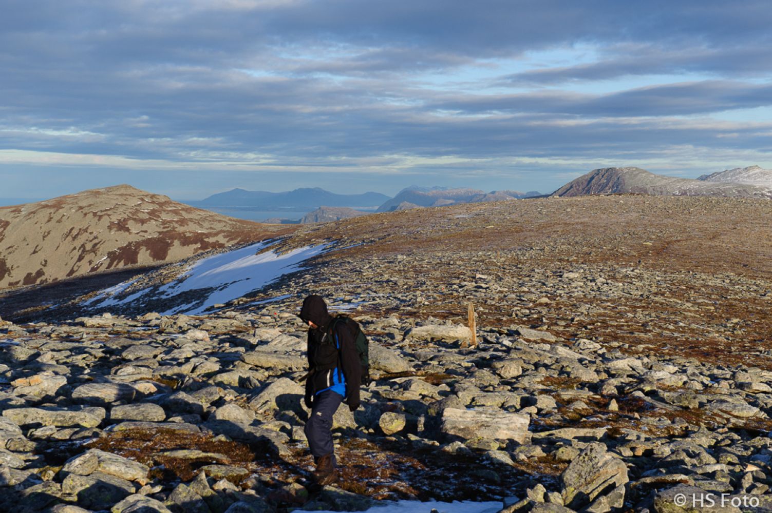
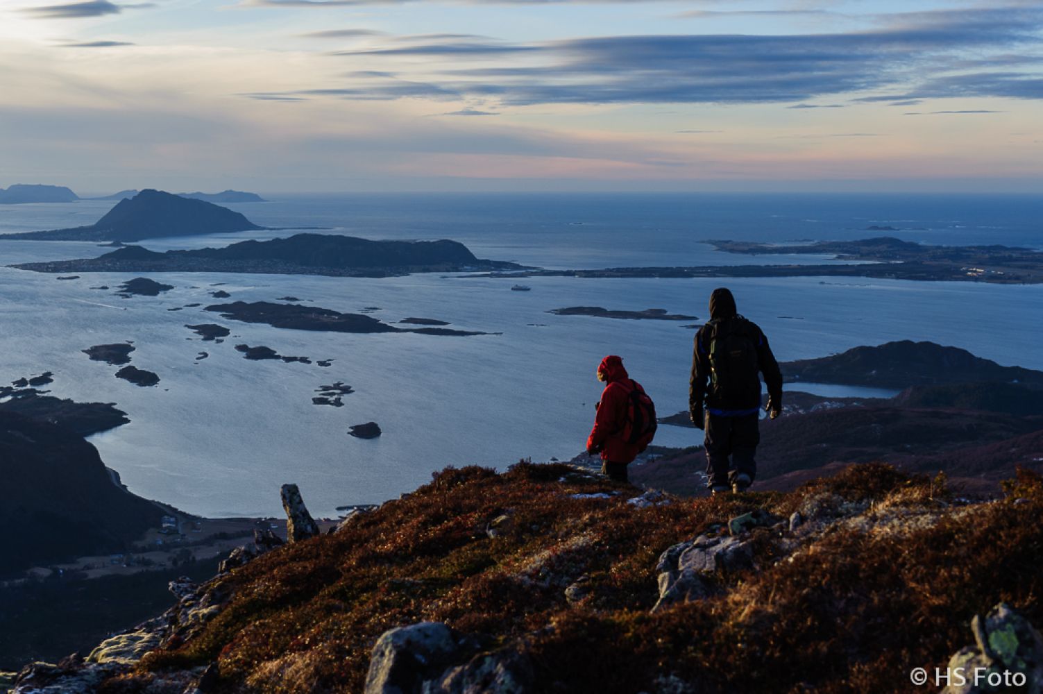
This is a fantastic trail with great views. You will see Ålesund in the south, and once you come up the cleft, you will also see Harøyfjorden with the island of Flemsøya / Skuløya.There are several small lakes / ponds in the area, and it can be nice to take a dip in one of them to cool off on a hot summer day. Apparently, Mount Tverrbotshornet is a nunatak. You can learn more about nunataks on Wikipedia: http://no.wikipedia.org/wiki/Nunatak. This term describes a mountain top which protrudes above the ice sheet. Tverrbotshornet is likely to have been a nunatak during the last glacial period. As you approach the top, you will only see slabs of rock and flat stones. The bottom of the valley that had been polished by the ice is almost completely flat, which makes it easy to walk here — there is no need for a path! On your way up the mountain side, the shape of stones changes from blocks to flat rock slabs.The area is also great for skiing, and there is a fishing lake called Søvikvatnet for those who like fishing.

Route description

This trail follows a well waymarked road and a path.On your way up towards Mount Gamlemsveten, you will pass some benches which are saved as waypoints in the GPX-file.Follow the route up towards Gamlemsveten for the first 2 kilometres. At the road turn, you will see some signs pointing up towards Heiane. The signs read: “Breiskarvatnet” and “Tverrbotshornet”.The path is clear, and it is additionally marked with sticks and road poles. The road poles have light-reflecting elements on them.After about 350 metres, you will come to a fork in the path. Continue walking towards the north from here. The path that goes east from here leads to the southern edge and the ascent to Mount Tverrbotshornet.The path towards the top of Heia is widely used by the hikers, so it is easy to see. Continue walking up to the highest point in the valley. Up until this point you have been walking parallel to the high-voltage transmission line. Once you reach the highest point along the path, turn towards the transmission line. You will then see three pairs of double posts in front of you. Walk towards the one in the middle. At this point you will have probably already noticed a road pole that marks the path further up to Mount Tverrfjellet (744 m a.s.l.).You are now walking parallel to a massive stone fence. This fence stretches from Tverrfjellet westwards and goes all the way up to Mount Gamlemsveten!The path from the transmission line up to Tverrbotshornet is exceptionally well marked (as per January 2013). First you will get to the top of Tverrfjellet. There are nice rest areas on the way up with fantastic views. Make sure to take breaks along the way to enjoy your surroundings.Once you reach the height of about 500 metres, you can turn towards Gamlemsveten. To the right of Gamlemsveten you will see a ledge on the northeastern side of the mountain. This is Trollhola. There is a large cavity in this ledge. It is about 250 metres in diameter and about 30 metres deep.It is more of a pothole rather than a cave.From the top of Tverrfjellet, a clear and flat path will lead you right up to Tverrbotshornet. For a mountain here in Sunnmøre, the area is exceptionally flat and easy to walk on.You will see several paths crossing up here, but you just need to walk southwest towards the cairn(s) at the highest point.The way down is easy, even though it might have looked a bit scary from the bottom of the valley.Once you are at about 520 metres above sea level, you will come across a sign pointing to Tverrbotshornet, Breiskarvatnet and Storhornet.Turn your back to the sign and walk westwards. You will soon walk under the high-voltage transmission line again and reach the marshy area.From here, it is not far to the point where you turned off the road to Gamlemsveten.Just follow the road for this last section down to the car park.

The same as the starting point

Access and parking

The start of the trail is marked with a separate waypoint. There are several alternative routes going up, but you will not see any signs until you reach the car park and the area where the trail starts. Because of the restrictions for driving in the residential area, I chose to start this trail by driving to Søvika and following the main road up until the starting point. This road is about 1.5 kilometres long. The last section of about 500 metres is a gravel road with a number of large / deep bumps. There is a large junction in Søvika. The turnoff to the west leads down to the Mørenot company and the Søviknes Verft shipyard. The turnoff to the east goes towards the starting point of the trail. There are two signs here (as per 2013) pointing in the right direction. The signs read “Bakeri” and “Hotell”. Follow this road eastwards for about 500 metres. You will then come to a new junction. Take a 90-degree turn to the north and follow this road for about 900 metres further, without turning off anywhere before you reach the car park. Just before the car park the road splits again. Take the road that goes north again. You will see a signpost at the junction that shows most of the alternatives routes from this starting point. You will find the car park right behind the garage. For those who download the GPS track, the driving directions above will be added to the GPX-file. NB! Emergency vehicles owned by Telenor, which operates a television transmitter on Gamlemsveten, are parked in the garage. Please do not block the gates in case of emergency.

At the start of the trail. No parking fee applies.
Hiking route
Red
Distance
11,02 km one way
Elevation
672 m
Duration
4 t. 30 min.
Sesong
Spring, Summer, Autumn
Highest Point
750 masl
Signage
Both signed and marked
Mobile coverage

Map route

Surface type Distance
Sti 3

Public transport

You can take a bus to Søvika. There is also a ferry and express boat connection from Ålesund to Hamnsund. Please go to http://www.177mr.no for more information.

Other

The trail is not suitable for children. But if you take them along anyway, it would make sense to walk up the southern edge — right onto Mount Tverrbotshornet. They might find it entertaining to take a dip in one of the ponds, if they join you on your way further. The mountain is completely flat at the top, and from that point on you will only have to walk downhill back to the car :-)

Map

Brattvåg, Sheet 1220 III in map series M711 and Ålesund in tourist map series
Driving directions

API endpoints

Route data GeoJSON