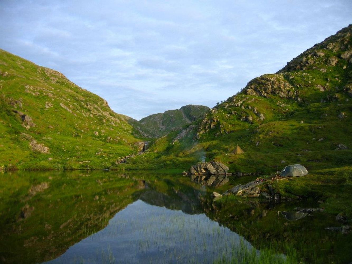
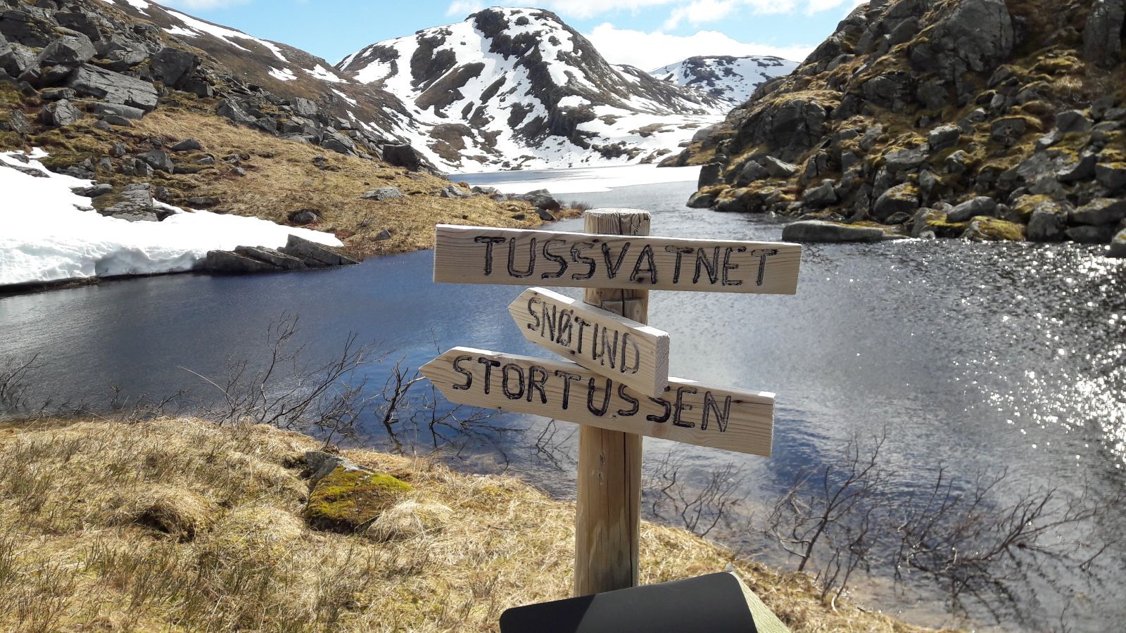
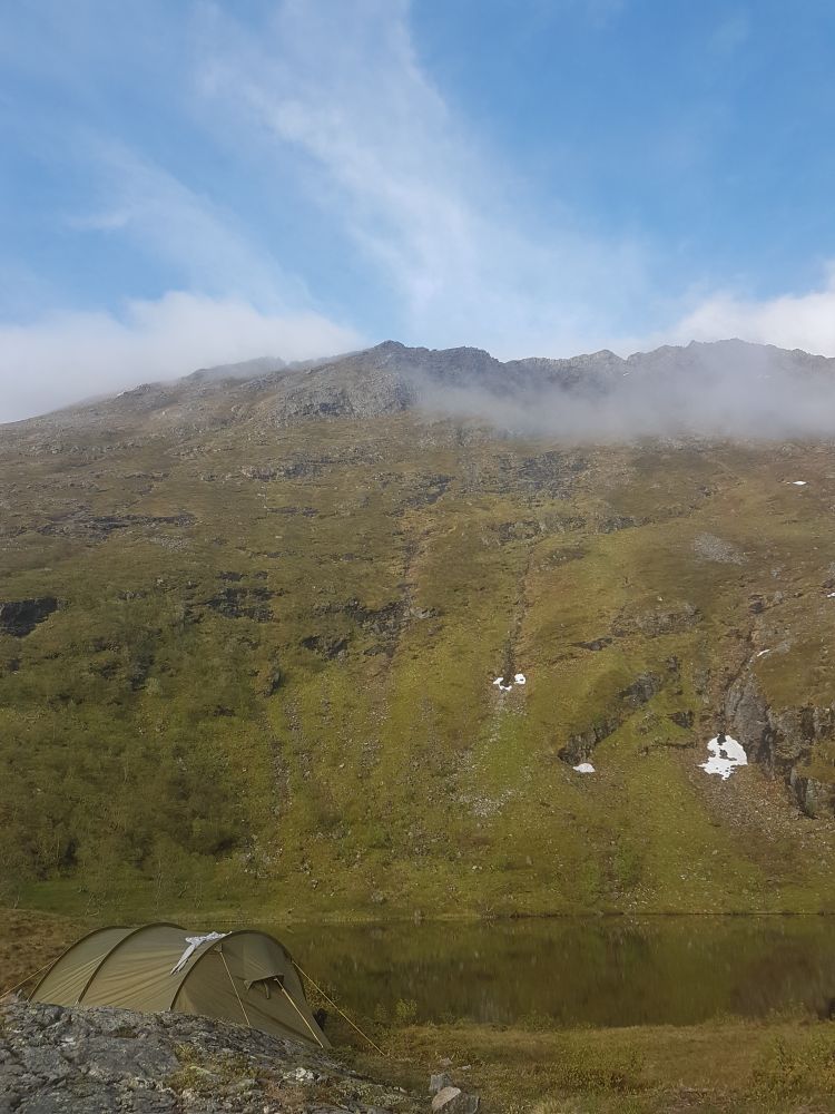
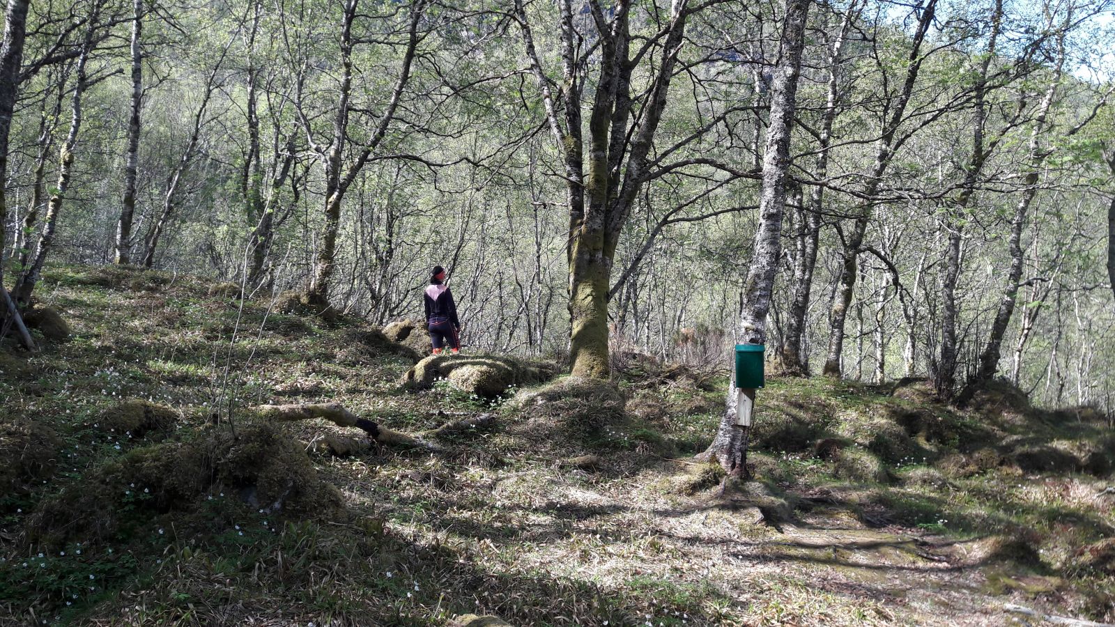
Lake Tussvatnet is conveniently located between Sørtussen and Nordtussen mountains in Eide municipality. The trail offers a great view over Eide and out to the Atlantic Road. You can choose if you want to make it a day trip or an overnight hike with a tent. Tussvatnet is a fishing lake that offers great opportunities to catch a couple of trouts for dinner.This trail involves some climbing beginning at 68 m a.s.l. and finishing up at 452 m a.s.l. by Lake Tussvatnet where the trail postbox is located. You will be following a path for the most part of this hike, but it is important to take into account certain factors when you are planning it. Firstly, you will have to cross the river that runs down from Tussfossen waterfall. In early spring as well as after heavy raining there might be high water flow and it becomes problematic to cross the river without getting wet. It can be especially challenging in spring because of the cold meltwater in the river. Secondly, some sections of the trail cross a very steep terrain. That is why this trail is not recommended if you are not in good shape or do not want to challenge your body to much. At some points along the trail it can also be difficult to keep to the path. The Stikk UT! postbox is placed at the mouth of Tussfossen waterfall in the direction of Litjetussvatnet.Coordinates for the Stikk UT! postbox: N62° 51.982' E7° 29.025'
Start walking from where the Ugelstadvegen road passes the Ådalselva river. Walk up the tractor road with the sign for Tussvatnet and follow this road to its end. Here you will see another sign. Pass Tussfossen and walk up along the mountain ridge on the western side of the river. At this point you will find a path. Follow the path on the western side of the river. From here, the trail starts climbing up steeply passing through some rough terrain. Be prepared to use your arms actively. Once you are above the forest line, start walking back in the direction of Tussfossen. Walk past the rocks right up to the top of the hillside. Here you will see the outflow from Lake Litjetussvatnet splitting into a number of small streams before they come together again and swing into the valley below the first waterfall which then plunges into Tussfossen.Here you have two alternatives. You can choose to follow the waterfall. In this case you have to be familiar with the area, prepared to walk off the path and be careful. Alternatively, you can follow the ridge across the northwest side of the valley. Apart from the area where you pass the ridge, the path continues around the hillside until you come up facing Lake Litjetussvatnet. Pass the lake walking along its western side and go up towards Lake Tussvatnet. It is extremely important that you avoid walking across the snow-covered river between Tussvatnet and Litjtussvatnet lakes in spring. It can be dangerous to walk through the snow and down onto the river between these two lakes. Instead, we recommend that you walk along the western side of Litjtussvatnet, cross the river right at the edge of Litjtussvatnet and go up to Tussvatnet along the eastern side (facing Stortussen / Snøtind).
A tractor road connects the Ugelstadvegen road with the starting point of the trail. It is possible, but not recommended to drive along that road. The road can also be closed by a boom gate. It is therefore recommended to park your car down by the Stikk UT!-sign next to the Ugelstadveien road.
Duration
2 t. 55 min.

It can be challenging to cross the river in high water.
 Driving directions
 Route data
GeoJSON