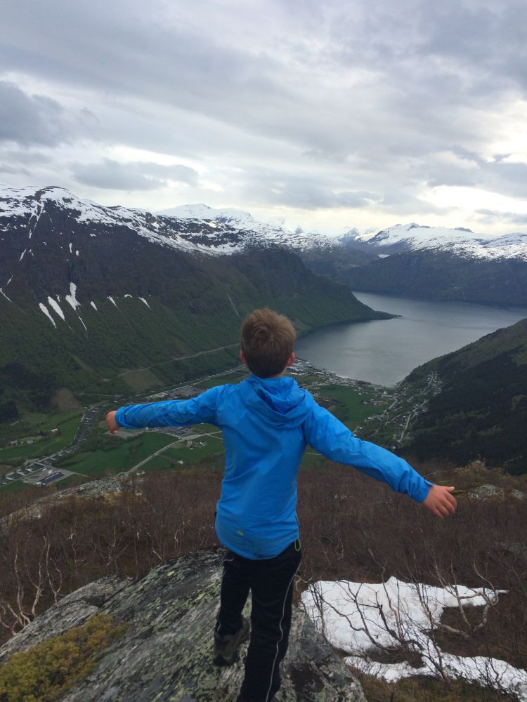
This lovely trail offers a great view once you are above the tree line. Turrnausa is not the highest mountain around Stordal, but it offers a fantastic view of Stordal and the fjord.
Start walking from the Stordal school building. Cross the road over the pedestrian crossing and go left. At the mailbox stand, turn right and follow the road towards the Vinjehjellane housing estate for about 1 km until you reach the signed and marked Grigås Nature Trail. Walk through the fence, keep to the right and walk right up the steep hill until you reach the uppermost house in the housing estate. You will walk along a good path further to the right and into the forest. There might be animals grazing in the area, so please remember to close the gates. You will walk past the remains of an old summer barn. There is a little more climbing, but then the path flattens out again. This is where you will find the Grigås Nature Trail postbox. As you walk further, you will cross several streams and reach a forest road. Walk right across this road and find the path on the other side. The path climbs steeply up until you reach a fork in the path near an old stone bridge. Walk over the bridge and follow the path as it goes up. The path takes you over a marshy area before you start climbing up towards the top of Turrnausa. This section can feel too steep and open, but at the same time you are rewarded with a great view. The trail postbox is placed on a small cairn just before the top.
You can park your car next to the Stordal school building.
Duration
3 t. 5 min.

| Surface type |
Distance |
| Sti |
2,9 |
There is a bus connection between Ålesund and Valldal. Please check frammr.no
Ørskogfjellet tourist map
 Driving directions
 Route data
GeoJSON