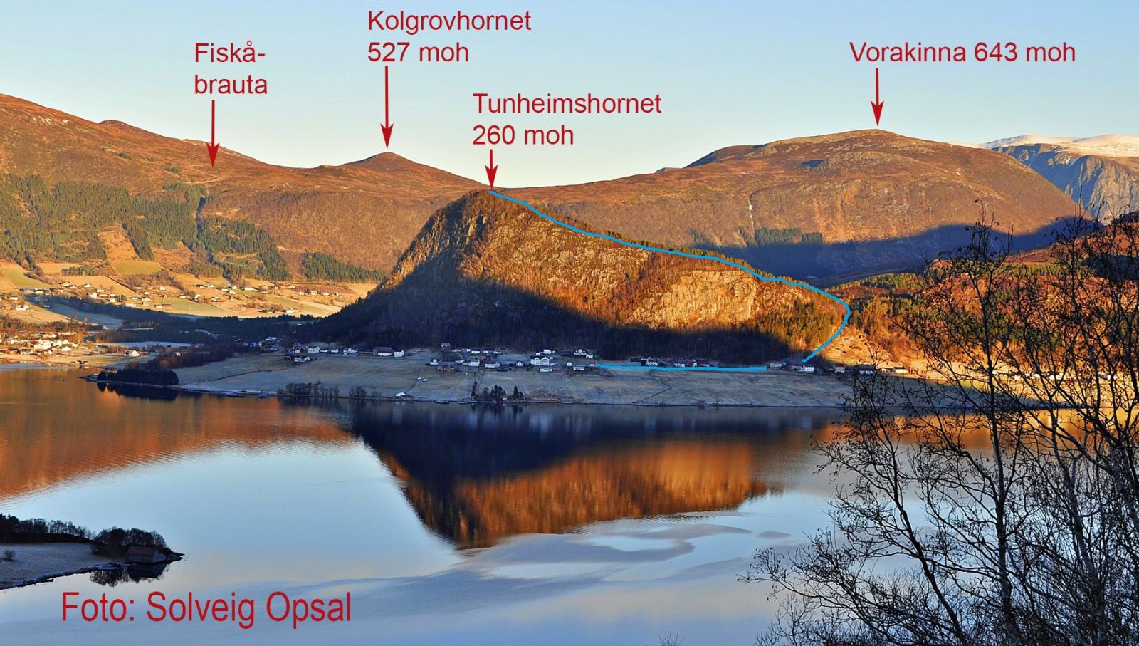
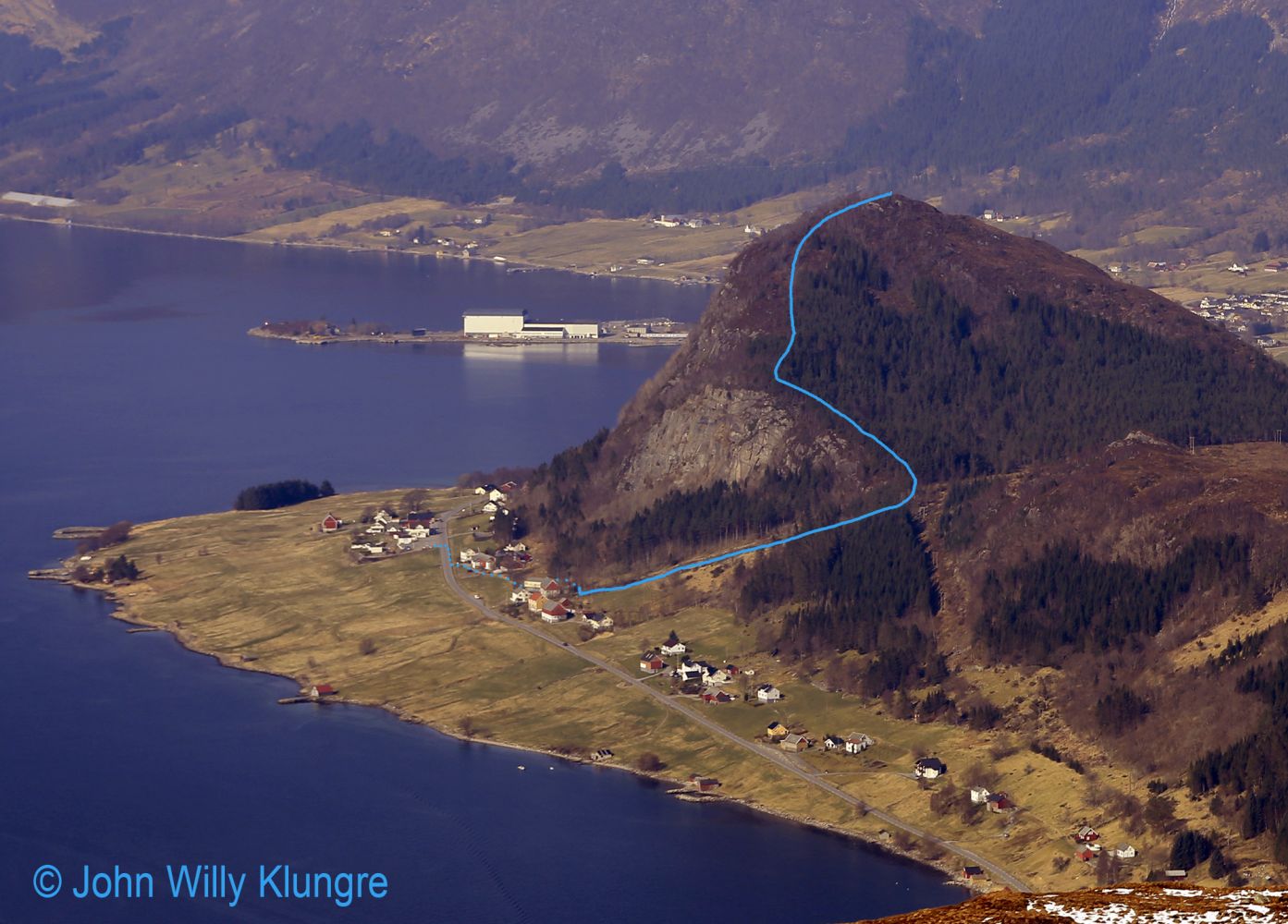
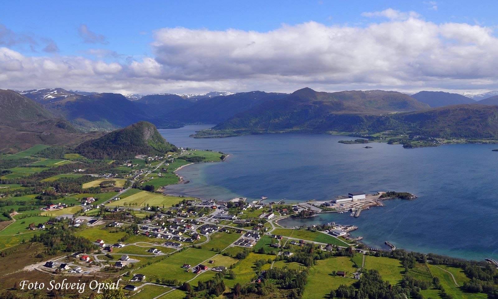
There are few places where you can get a great view so quickly and easily as at the top of Tunheimshornet in Tunheim, Fiskå. It takes most people about half an hour to reach the hilltop. You will follow a good-quality path from the starting point at 30 m a.s.l. up to the top at 260 m a.s.l. The path is easy to follow, and you can take a break at the picnic area with benches and tables at the hilltop while peacefully enjoying the wonderful view in all directions. There are a couple of slightly steep sections with rocky surface where you can walk up and down without a problem, but do not go too close to the edge of the hill because the slope that goes down from the top is extremely steep. Please also bear in mind that there are farm animals grazing in the area, so remember to close all the gates after you walk through them.
Route description
There is plenty of parking space at the car park by the petrol station in Tunheim. From there, follow the national road for about 70 metres, cross the road and walk along the hillside below the operational building at the first farm and above the operational building at the second farm. About 300 metres past the petrol station at about 40 m a.s.l., you will reach the beginning of the cattle track with stone walls on both sides. You will follow a good-quality path, but it is relatively steep up the cattle track. After walking up 250 metres, you will reach Tunheimskaret at the height of about 110 m a.s.l. Take the sharp turn to the left and follow the ridge up to the top at 260 m a.s.l. After you leave the cattle track, you will first walk into a pine forest that protects you from the wind. The final part of the trail runs through more open terrain with some deciduous forest. There are a few sections where you need to pay special attention to where you are going because the mountainsides down from Tunheimshornet are very steep. Once you reach the top, you can relax and take in the amazing view.
Access and parking
It is very easy to spot Tunheimshornet and find your way there from the surrounding area. You will find a well-maintained car park by the petrol station in Tunheim.
Hiking route
Green
Distance
1,19 km one way
Elevation
234 m
Duration
1 t. 10 min.
Sesong
Winter, Spring, Summer, Autumn
Highest Point
243 masl
Signage
Both signed and marked
Map route
Surface type
Distance
Sti
2,4
Map
Hiking map: På tur i Vanylven (Eng. Hiking in Vanylven) – can be purchased at local shops and petrol stations in Vanylven Municipality.

 Driving directions
 Route data