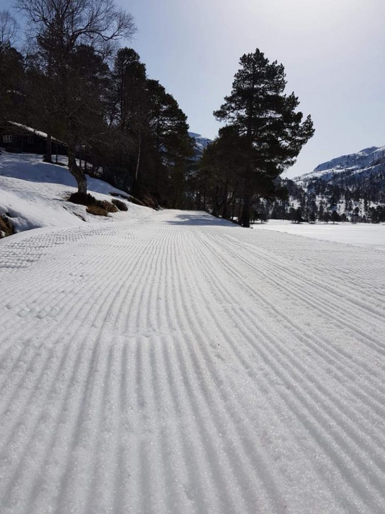
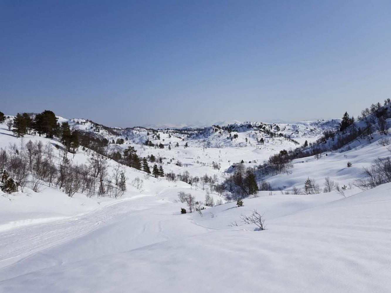
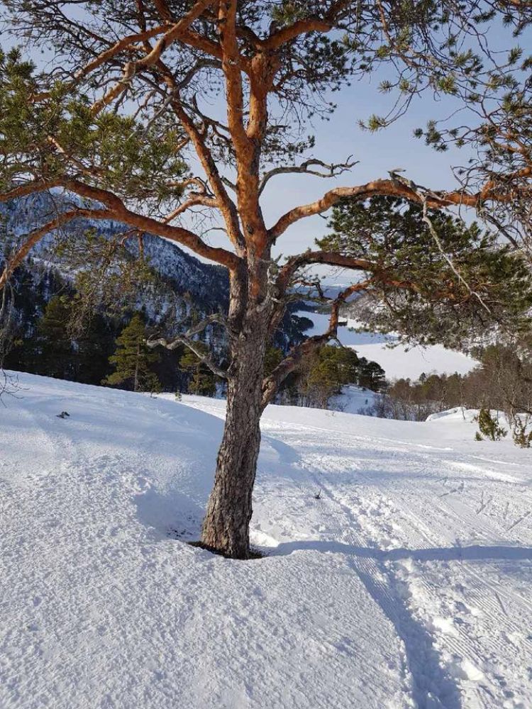
This ski trail takes you through diverse natural surroundings. You will ski through the forest, along the lake, and up the mountain.
Follow the prepared ski trail and waymarks.
Drive along RV70, turn off to E39 towards Kanestraum. Turn right onto Vatnvegen Road 150 m before the ferry terminal. Then drive to the western side of Lake Litlvatnet for 3.6 km and take the left turn. Continue driving until you reach the boom gate (NOK 50).
Skiing route
Blue fjellski
Duration
2 t. 15 min.

Signage
Both signed and marked
| Surface type |
Distance |
| Preparert med tråkkemaskin |
4.74 |
This ski trail is groomed by a volunteer organisation that aims to prepare ski trails when needed, according to their capacity and availability.
 Driving directions
 Route data
GeoJSON