Norsk

Trolltindan and Stordalstinden via Trollkyrkja

Hustadvika

The trail at a glance

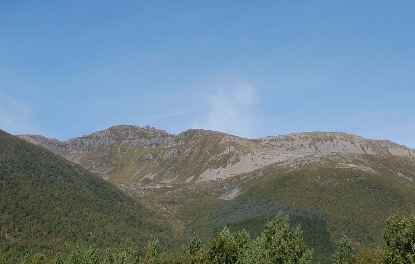
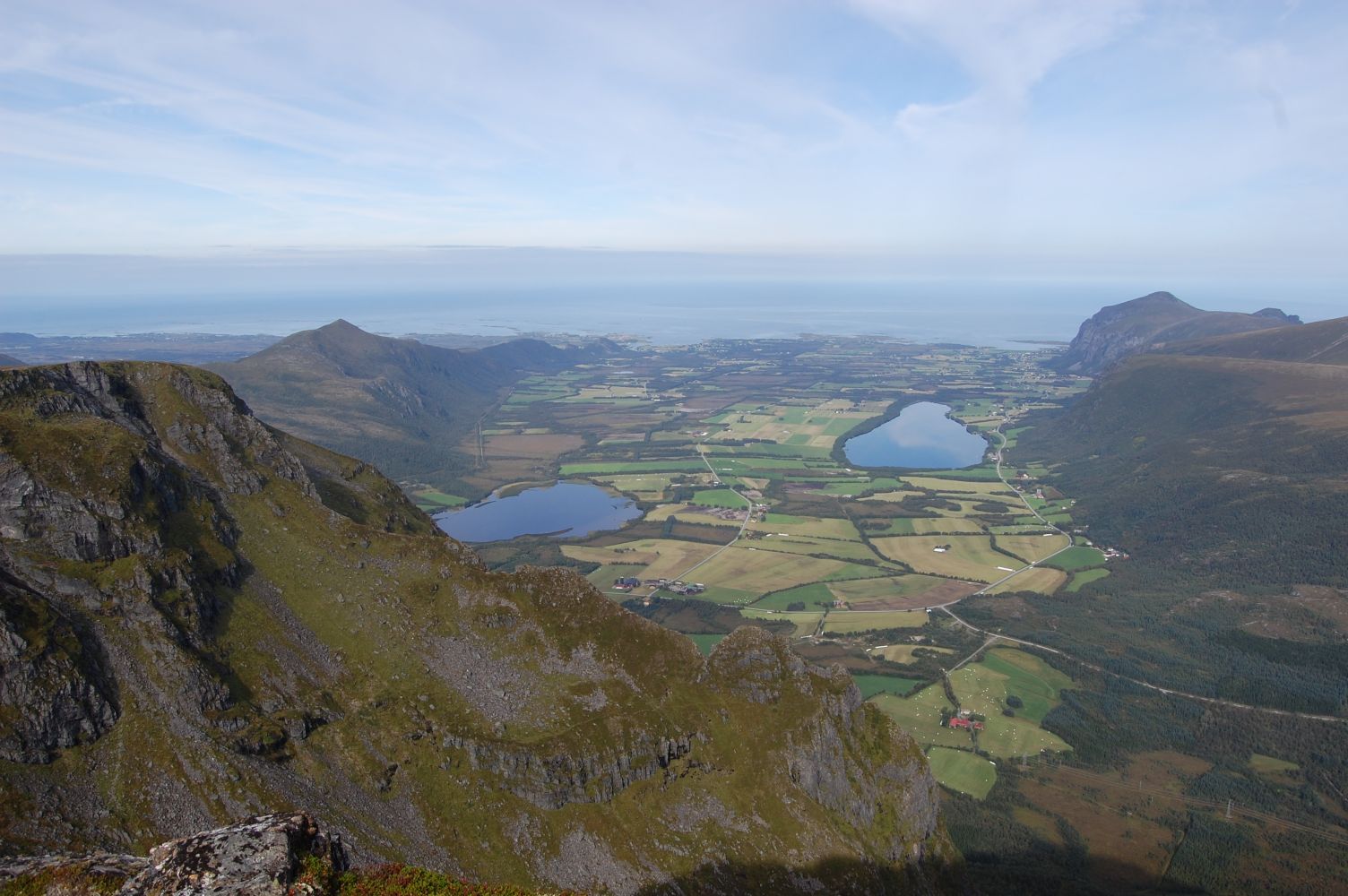
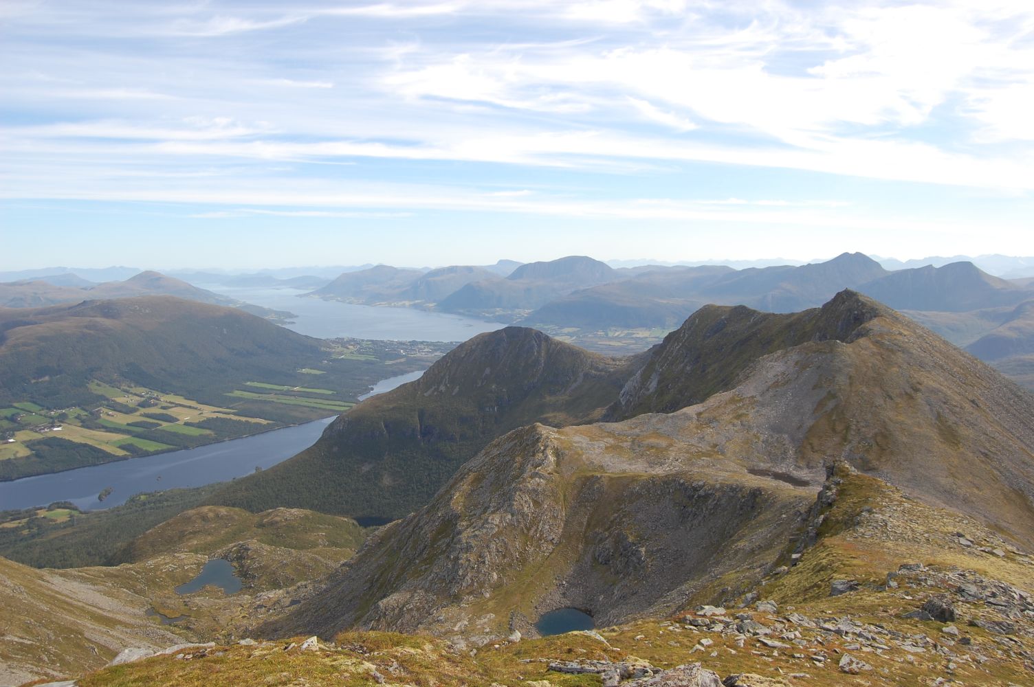
The trail runs past the Trollkyrkja caves, a popular hiking destination. Please see a separate description (http://mrfylke.no/Morotur/Turer/Trollkirka). You will get a fantastic view of the mountain ranges in Sunnmøre and Romsdalen and the landscape from the outer coast of Romsdal north to the Nordmøre coast.

Route description

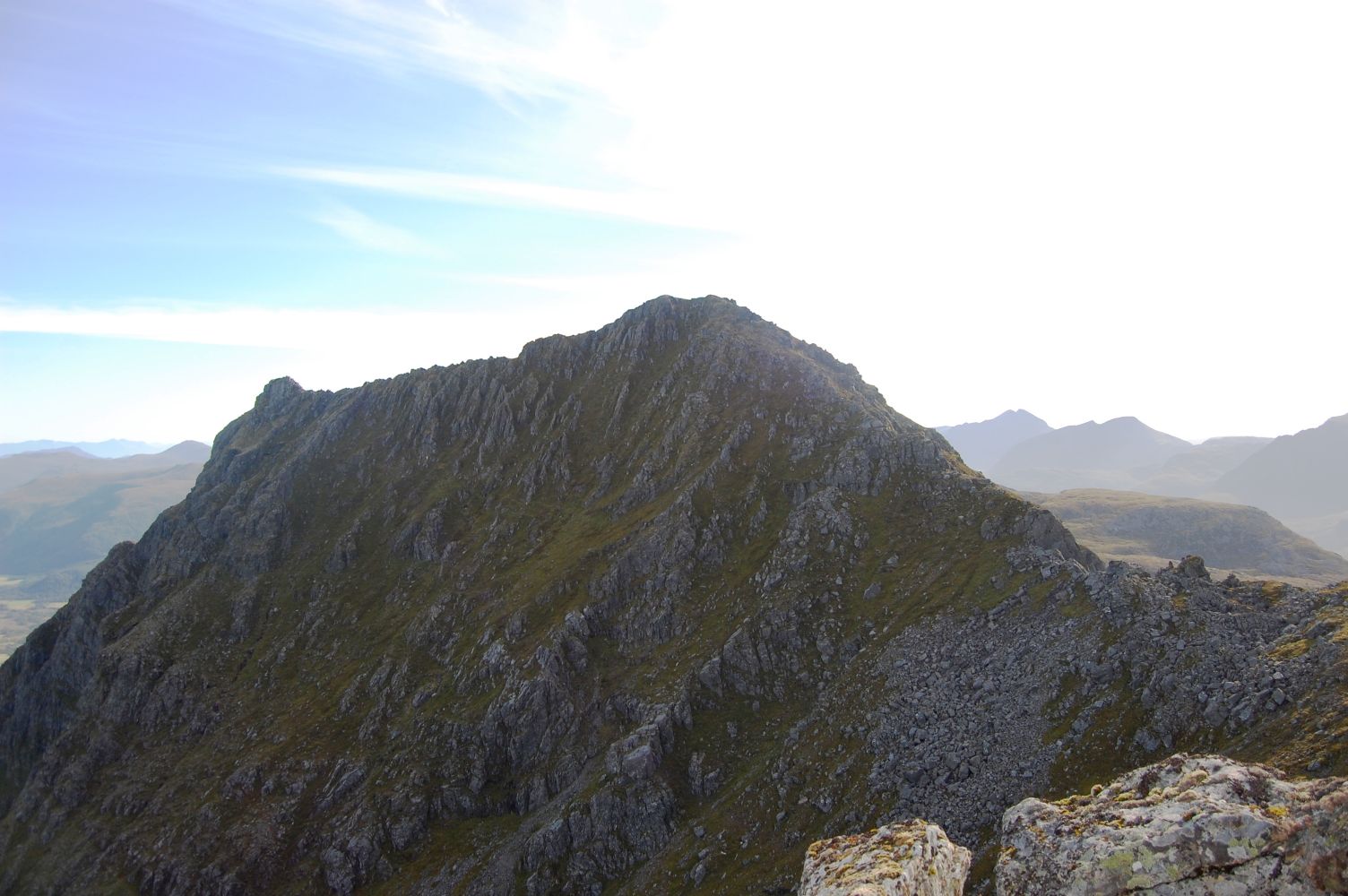
The walk starts from the car park by RV64, at the sign for Trollkyrkja. Follow the tractor road for the first kilometre and then a well defined path to Trollkyrkja. Walk past Lake Trolldalsvatna which lies just above the lower caves. It is possible to go directly up to the Trolltindan mountain range from the lake, but we recommend walking up the ridge on the western side of the lake. There is no marked path here, but you will walk through gentle terrain with some animal tracks that are easy to follow. The trail takes you to Mount Tverrfjella (832 m a.s.l.) with a view down the valley in the direction of Hustad. From there, follow the ridge over Trolltindan. There are a couple of sections that require some basic mountain climbing. After you have passed Trolltindan, it is easy to reach Stordalstinden as well. This mountain peak lies on the border of the former Eide and Fræna municipalities. The route back from Stordalstinden to Trollkyrkj runs through an area of scree. From Trollkyrkja, follow the same path you took from the starting point. You might want to take a refreshing dip in the lake on your way back.

Access and parking

Park your car north of RV64 in the Fræneidet area. Follow the sign for Trollkyrkja. No parking fee applies.
Hiking route
Red
Distance
10,29 km one way
Elevation
932 m
Duration
7 t. 30 min.
Sesong
Spring, Summer, Autumn
Highest Point
856 masl

Map route

Map

Map 1320 IV Eide
Driving directions

API endpoints

Route data GeoJSON