Norsk

Tovarden

Gjemnes

The trail at a glance

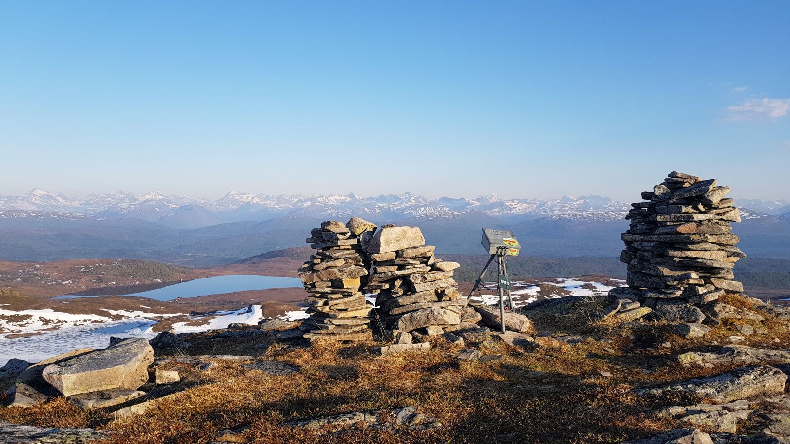
The trail to Tovarden starts from an old mountain summer farm. You will quickly walk up entering an open mountain area with a fantastic view both back towards the mountains of Åndal and southwards to the Romsdal panorama. 

Route description

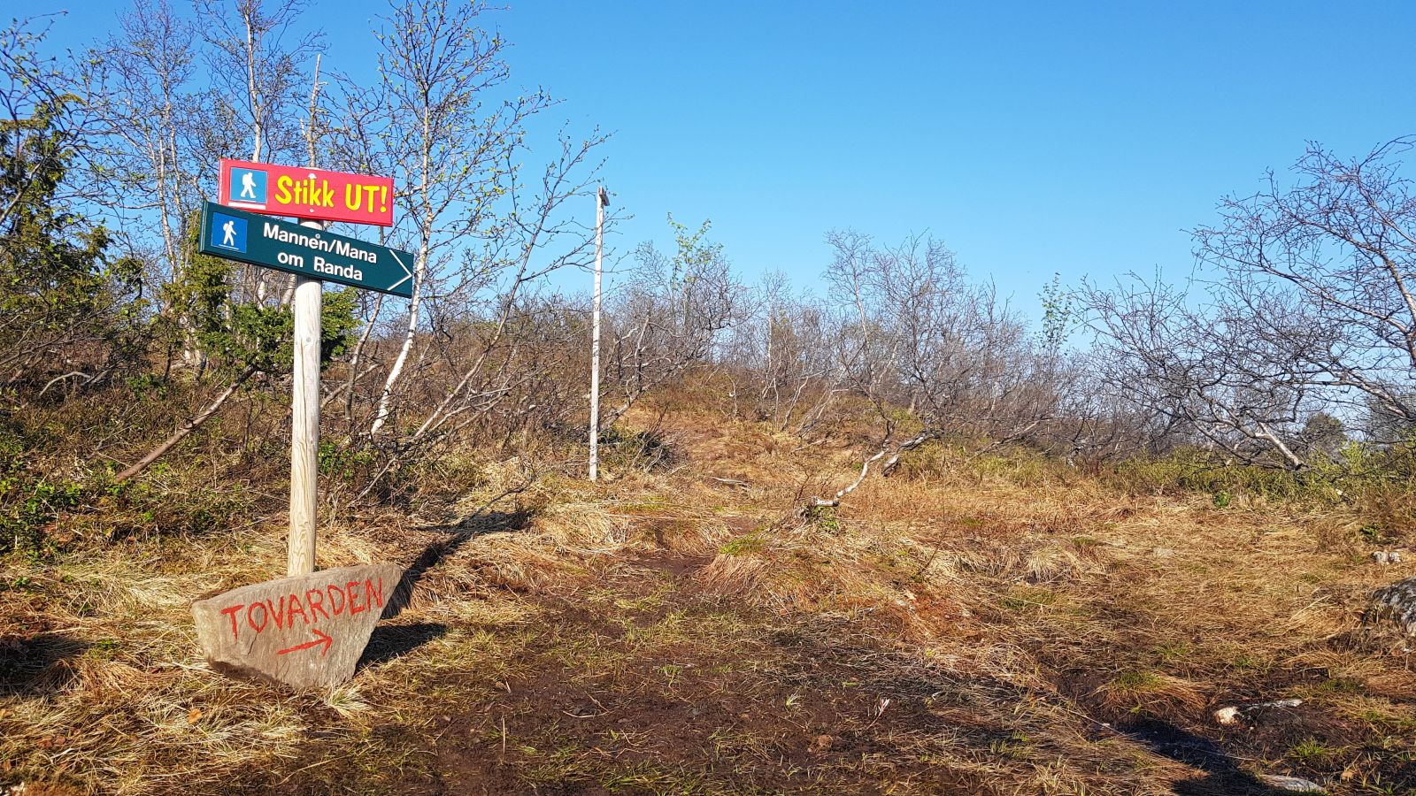
The trail starts from the car park in Indergardssetra. From here, walk back for a little while and them turn left onto a farm road which you will be following southwards. After walking for about 1.3 km, turn off this road taking a path that runs up to the left. Follow this path all the way up the ridge until you reach the mountain area where you will see two cairns, one for each municipality whose borders meet up here, Gjemnes og Molde. The destination of this trail is here along with the trail postbox. 

The trail destination is to be found at one of the two cairns which have given the trail its name — Tovarden, or “two cairns”. You can follow the same way back, but it is also possible to extend your trail further to Mount Mannen or walk down via Trollvatnet and Oltervatnet lakes to Istad.

Access and parking

Turn off E39 in Silset which lies about 2 km away from Batnfjord centre, when driving in the direction of Molde. Drive up towards Mount Silsetfjellet and follow the toll road up until it ends in Indergardssetra (almost 4.5 km). Here is where you can park your car. The easiest way to get here is by car, but if you are using a low gear on your bicycle it is also possible to cycle up the toll road. There is a bus stop down at the E39 road.

Next to the Indergardssetra farm.
Hiking route
Blue
Distance
4,84 km one way
Elevation
312 m
Duration
3 t. 15 min.
Sesong
Spring, Summer, Autumn
Highest Point
662 masl
Signage
Signed
Mobile coverage

Map route

Surface type Distance
Sti 3,4

Public transport

There is an express bus connection between Molde and Kristiansund via E39 operated by Fram (http://www.frammr.no). The bus stops in Silset and departs approximately once every hour on weekdays. The distance from the bus stop to Indergardssetra is a bit more than 4 km.

Map

Norge map series, Kristiansund.
Driving directions

API endpoints

Route data GeoJSON