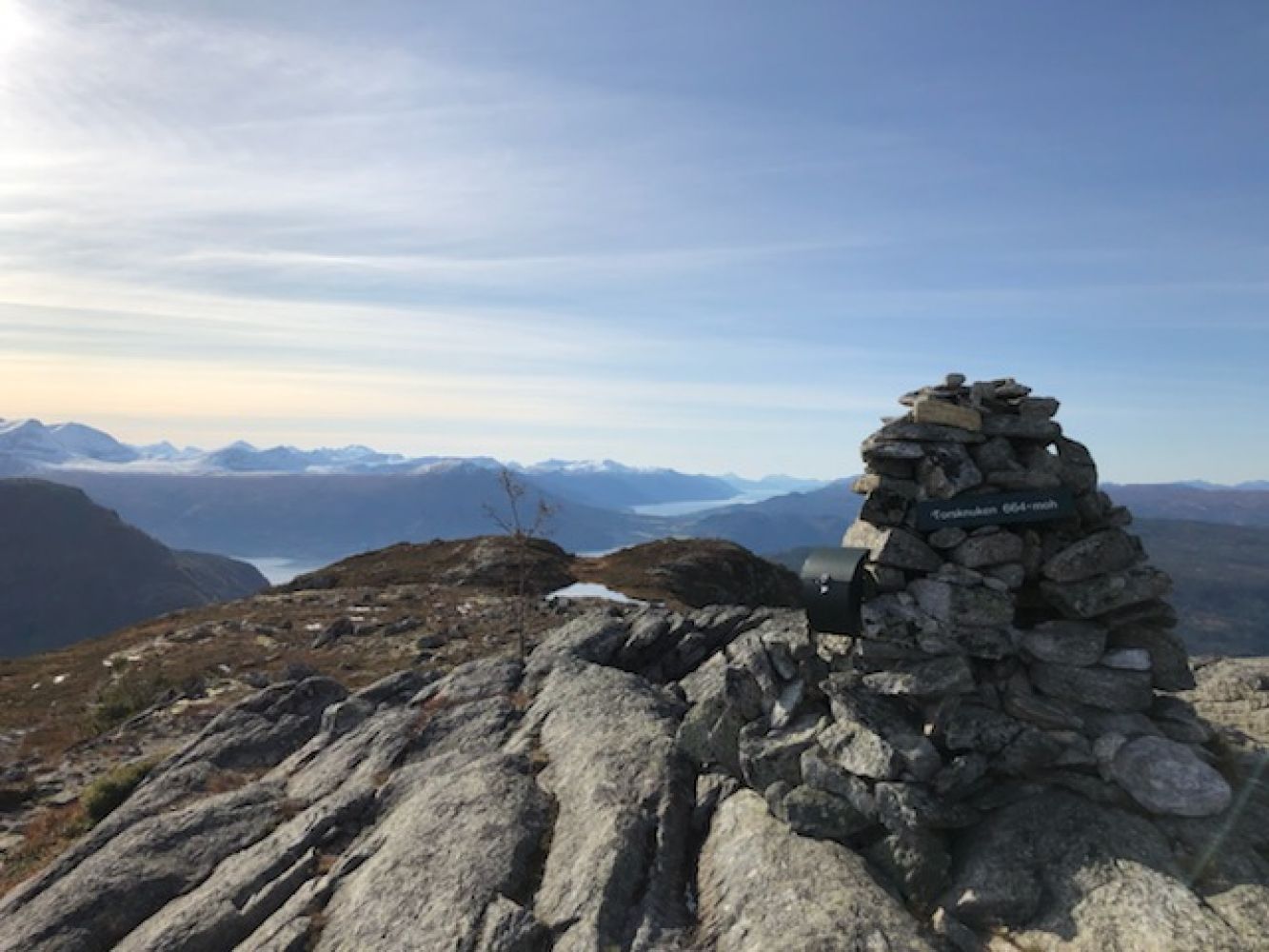
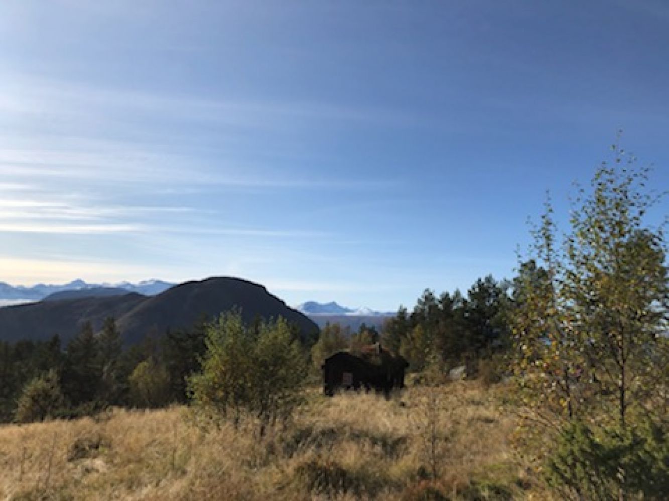
This trail offers a great panoramic view from the top. You will walk past two beautiful summer mountain farms along the way, Skarssetra and Hanemssetra.
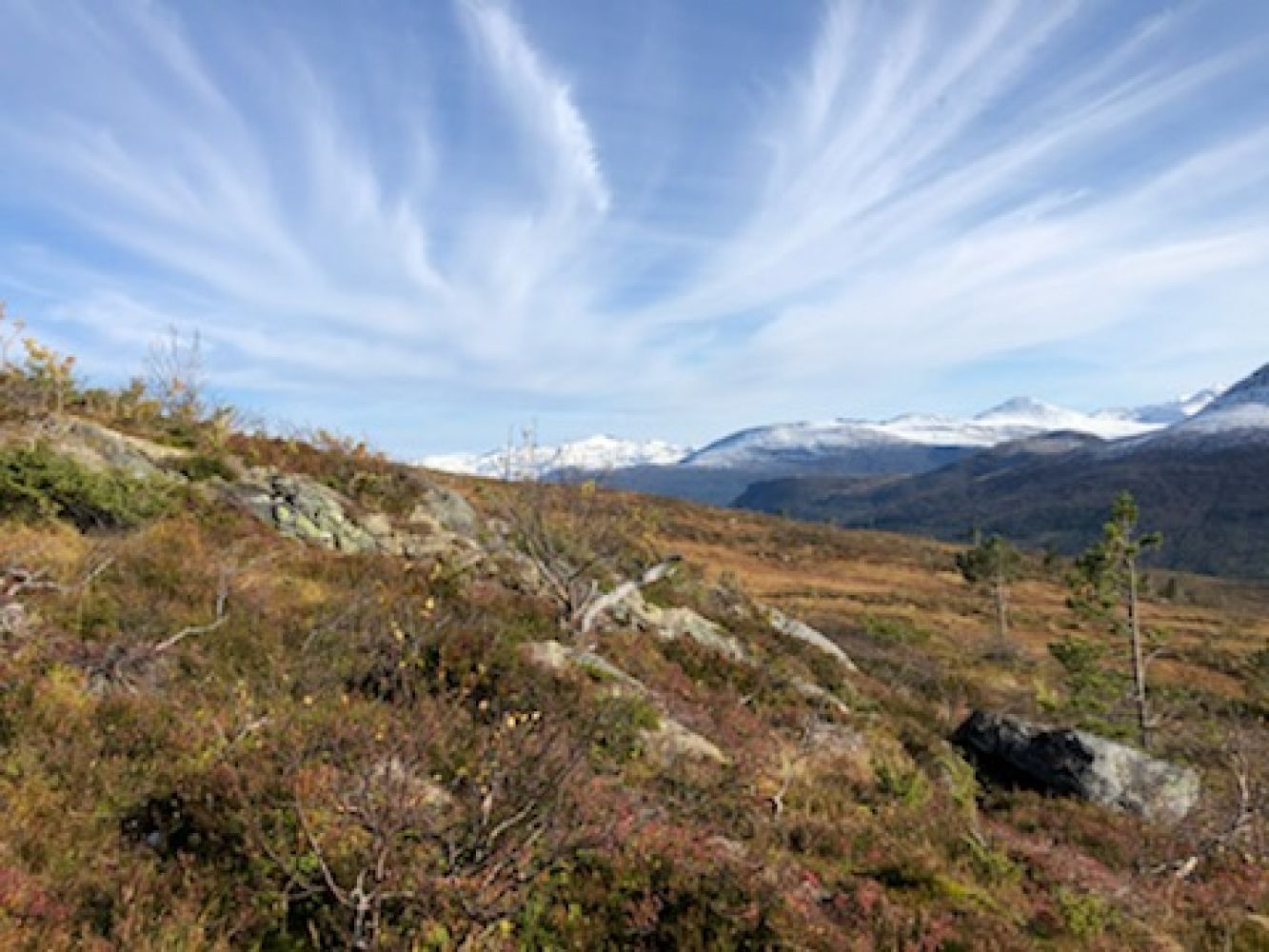
The first half of the trail follows a solid cart track until you reach Skarssetra. From there, follow a short well defined path to Hanemsetra. The path continues from Hanemssetra up to the top. The path goes through some marshy areas. You will see a large cairn and enjoy a fantastic view at the top.
GPS coordinates of the top: 32V 0466609 6968691
Drive to the petrol station in Meisingset along National Road 70 (Rv 70). Turn off in the direction of Skar and follow the road for about 3.2 km. Turn left at the junction and drive up to the dam on Lake Havstadvatnet. Continue driving from the dam until the next turn where you will see a large car park and a sign. The trail starts from the cart track on your left.
GPS coordinates of the car park: 62.83001 008.32709
You can park your car near Lake Hanemsvatnet, by the first road turn after the dam.
Duration
2 t. 35 min.

| Surface type |
Distance |
| Sti |
2 |
No (possibly a school bus)
Tingvoll tourist map 1:50 000 and Map of Norway 1420 IV Stangvik
 Driving directions
 Route data
GeoJSON