Tornes Looped Trail
Hustadvika
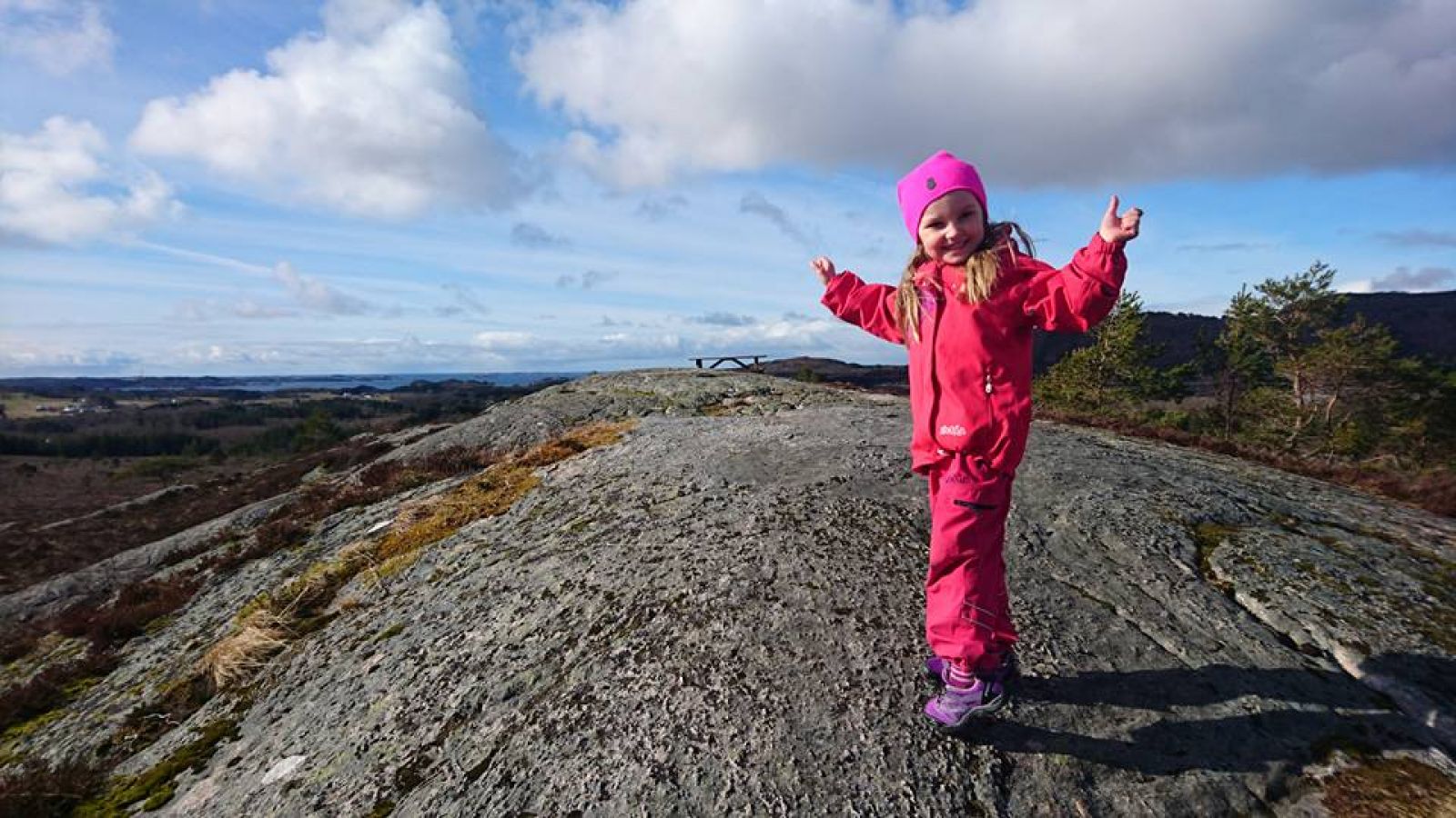
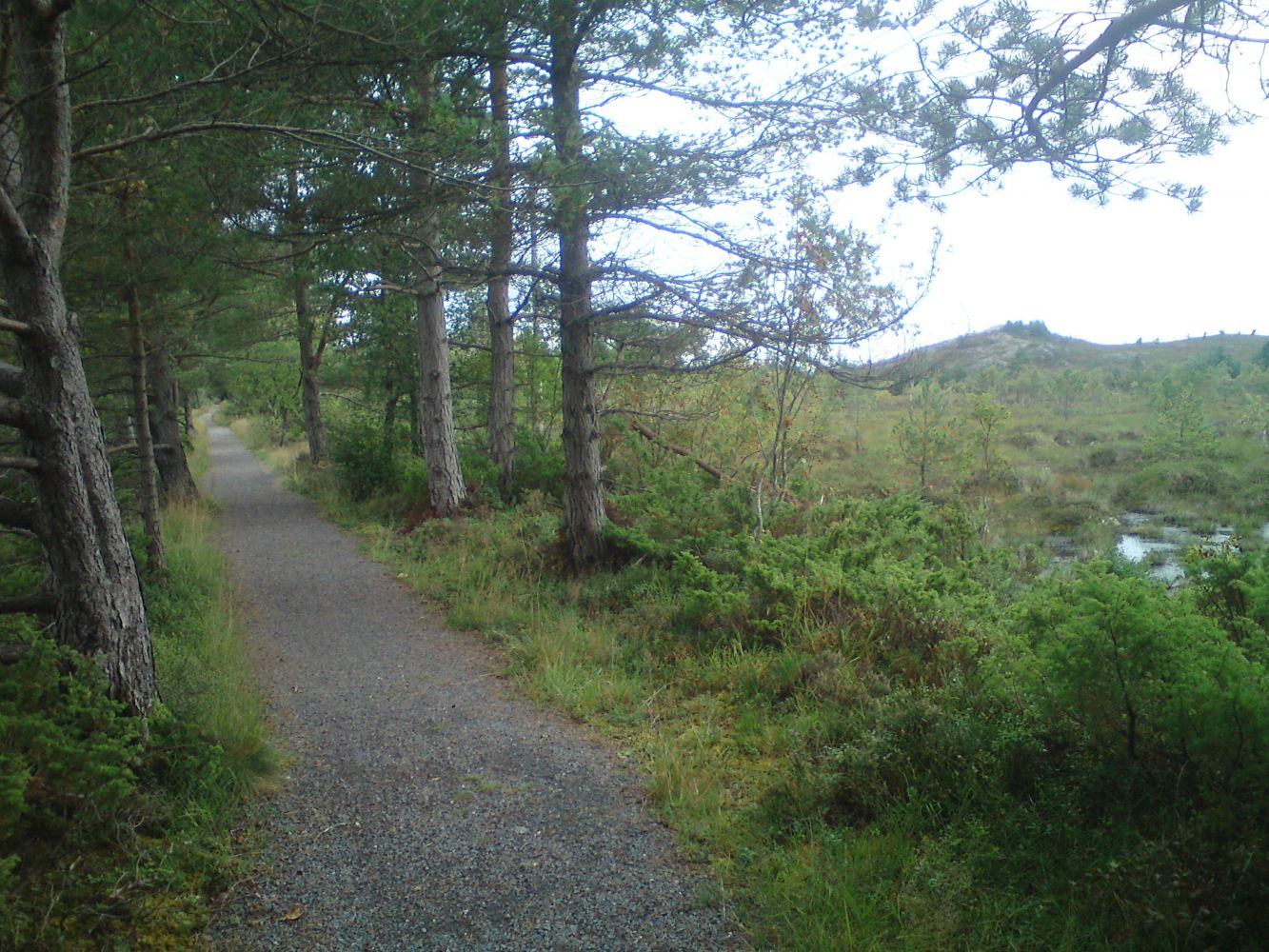
Tornes hiking trail is a a nice looped trail behind the residential areas in Tornes. Here you will be walking in a nice and diverse terrain along the trail that covers a number of small hills and offers a great view towards the ocean with the islands of Gossen and Bjørnsund within sight. You will also enjoy the view back towards Skalten, Talstadhesten, Lågheia and Høgheia mountains.The new section of the hiking trail now connects the existing trail with an old farm road called Grisholvegen which is still used by the farmers in Tornes. You can now walk over the Høghaugen hill (also called Bestefarfjellet, or “Grandfather's Mountain”, locally) and via the new part of the trail to Grisholvegen. This new section of the trail passes through a marshland and a hill called Storholen. The StikkUT trail postbox is placed at Storholen which is a hill with some benches and sitting areas set up in the middle of the newest part of this trail. NB! You will also come across some other local trail postboxes along the way, both at the end of Grisholvegen and up at the top of Høghaugen / “Bestefarfjelllet”.Please also be aware of the marshland just after the Grisholvegen road. Make sure the children and animals do not walk far away from the path. Marsh holes can be very dangerous at times, so explain this to your children as you walk along this trail.
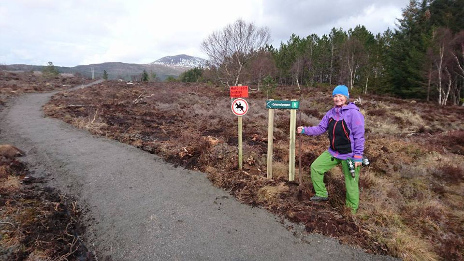
You can start this trail from a number of different places with parking areas available at: 1. Torabu in Tornes (either by the shop/petrol station or in front of the factory nearby). 2. Sagatun in Løset. 3. Tornes Kindergarten (preferably in the evenings or at weekends when the kindergarten is closed). Walk up the farm road called Grisholvegen from Tornes. The road is 2 km long. At the end of Grisholvegen the hiking trail continues further to the right going across the marshes towards Storholen and Høghaugen hills. At the top of Høghaugen you can choose between a number of options. You can either go left and eastwards to Løset or down past the “gapahuk” shelter to the kindergarten and then further down to Tornes again. OR you can walk right across Høghaugen / Bestefarfjellet and down to Tornes again. You will then come down to the old part of the residential area in Tornes. From here, walk through some signposted streets back to Torabu down the walkway. Have a close look at the overview map as it is easy to take a “wrong” direction and make your trail a bit longer than expected. But in any case you will still come down to the residential area and the walkway which can also take you back to Torabu and Tornes.You will certainly enjoy the trail whichever direction you choose :-)
The trail is made into a loop which ends where you have chosen to park your car.
The StikkUT trail postbox is placed at Storholen which is a hill with some benches and sitting areas set up in the middle of the newest part of this trail.
NB! You will also come across some other local trail postboxes along the way, both at the end of Grisholvegen and up at the top of Høghaugen / “Bestefarfjelllet”.
You can start this trail from a number of different places with parking areas available at:
1. Torabu in Tornes (either by the shop/petrol station or in front of the Torabu factory nearby).
2. Sagatun in Løset.
3. Tornes Kindergarten which is located at the new residential area in Tornes. (Preferably in the evenings or at weekends when the kindergarten is closed.)
You can start this trail from a number of different places with parking areas available at: Torabu in Tornes (either by the shop/petrol station or in front of the Torabu factory nearby).
2. Sagatun in Løset.
3. Tornes Kindergarten (Preferably in the evenings or at weekends when the kindergarten is closed).
Duration
1 t. 0 min

Sesong
Spring, Summer, Autumn
Signage
Both signed and marked
| Surface type |
Distance |
| Asfalt |
0,5 |
| Grus |
4 |
There are official bus routes to Tornes. Please check the timetable for Molde – Bud.
It could be a bit steep on your way up to Høghaugen if you are pushing a baby carriage. For the most part the trail here goes up the mountain. This is why we have developed a shortcut for the people with baby carriages at the foot of Høghaugen.
The same can be true for Storholen where the StikkUT trail postbox is located. But here there is a good hiking trail going up. We have not managed to build another shortcut here yet – at least for the time being. It might appear later.
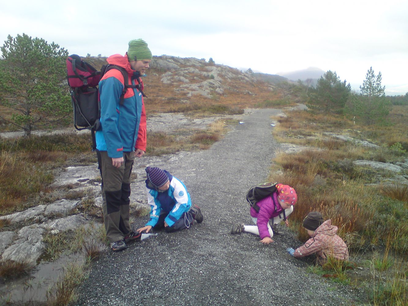
Please also be aware of the marshland just after the Grisholvegen road. Make sure the children and animals do not walk far away from the path. Marsh holes can be very dangerous at times, so explain this to your children as you walk along this trail.
Tourist map for Molde, possibly Fræna.
 Driving directions
 Route data
GeoJSON