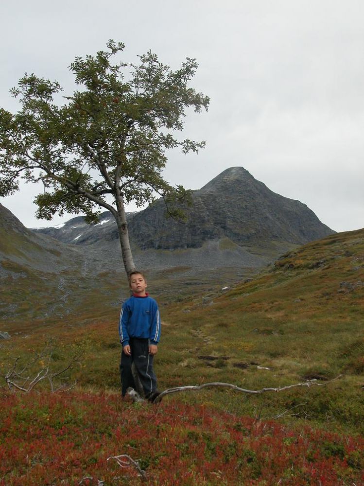
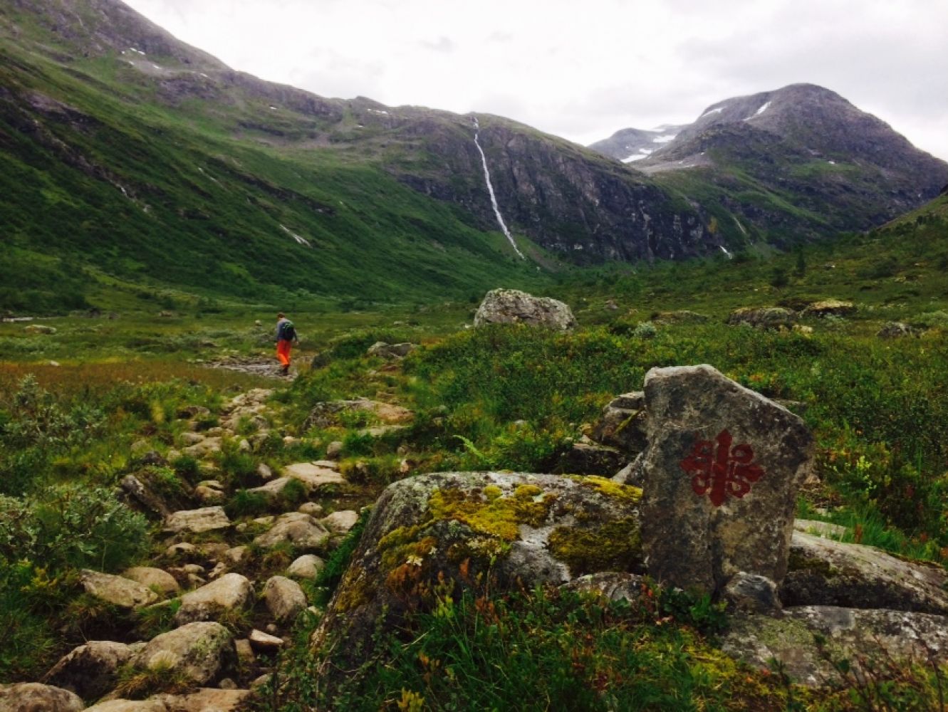
Note: The trail is available from 15 June.This lovely trail primarily covers gentle terrain and follows a clear path through the Steindalen valley to the cabin called Tjønnebu maintained by the Norwegian Tourist Association (DNT). The trail goes through parts of Reinheimen National Park. It is also a part of the pilgrim route Valldal — Dovrefjell.
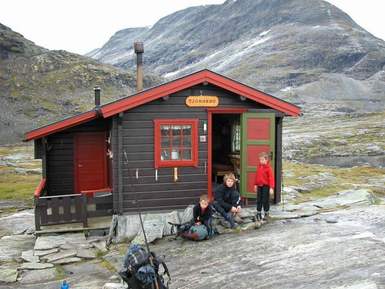
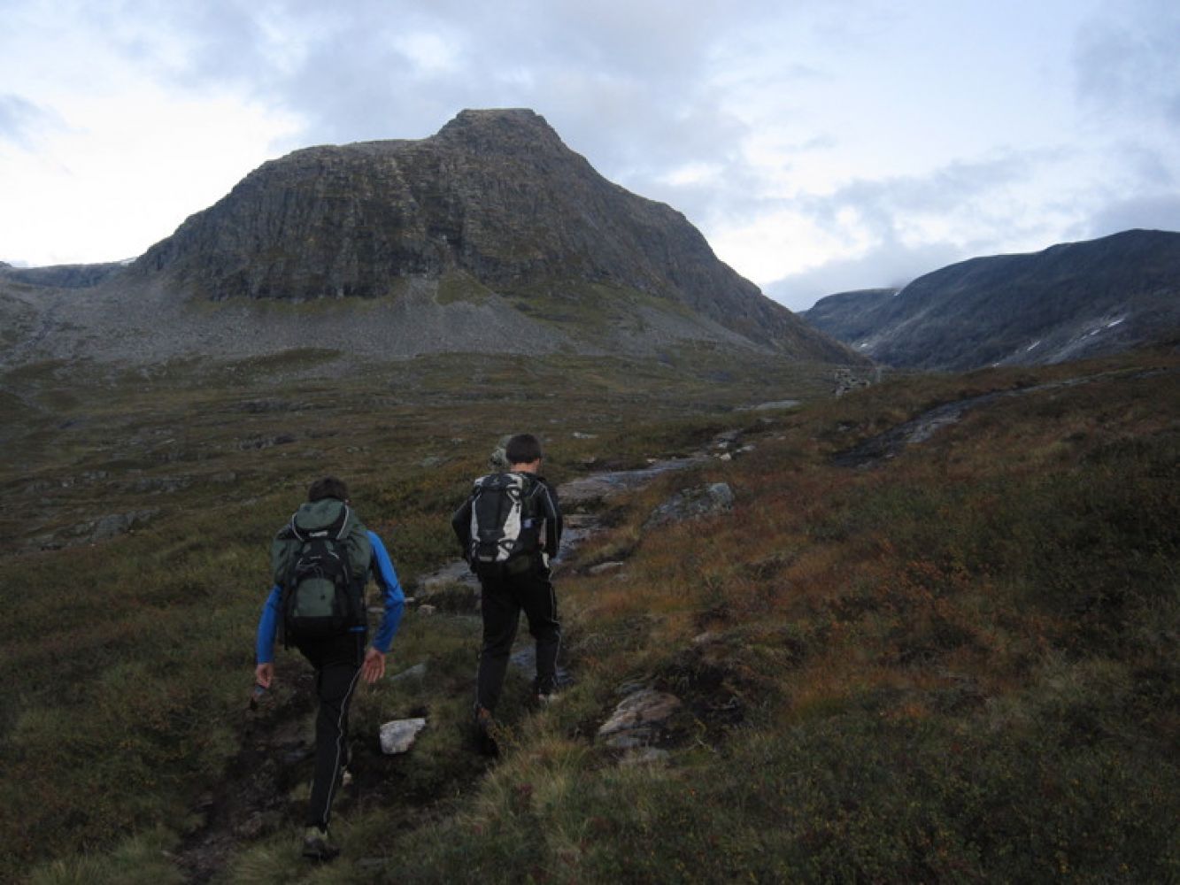
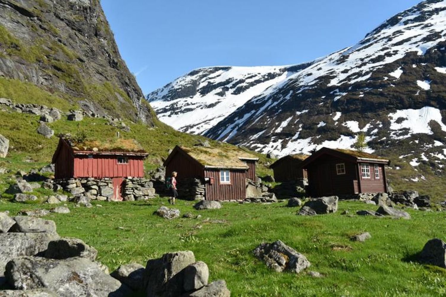
Follow the sign to Tjønnebu/Vakkerstølen from the car park and walk up through the forest along a clear path on the right side of the river towards Steindalsstølen. The path is marked with both the letter “T” and pilgrim route signs. From Steindalsstølen, a clear path will take you through the Steindalen valley and around Mount Litlehornet which is 1436 m a.s.l. high. The final section of the trail that goes up to the lakes Tjørnane involves slightly more climbing. The Tjønnebu cabin is located at 995 m a.s.l. by the lakes Tjørnane. It is maintained by the Ålesund and Sunnmøre Tourist Association. The cabin is nicely placed between four mountain lakes. All lakes are suitable for fishing. You can buy a fishing license in the cabin (self-service). The Tjønnebu cabin is surrounded by several high mountain tops, such as Mount Krynkelen (1499 m a.s.l.) and Mount Storfjellet (1759 m a.s.l.). If you follow the “T”-marked path further for about 13 km, you will come to Vakkerstøylen which is another self-serviced cabin owned by the Norwegian Tourist Association. On your way to the Tjønnebu cabin, you will walk past Steindalsstølen, a summer mountain farm used by the farmers in Grønningsæter. This summer mountain lies at 550 m a.s.l., at the entrance to the Steindalen valley. The farm and the mountain pasture around it belong to the protected area Reinheimen. The area is used as pasture land for sheep. During the war residents of Grønningsæter got a state subsidy for building the farm road. The road was steep and twisty. It required a lot of hard work, including hand drilling, blasting and bridge construction. The distance from the car park to the Tjønnebu cabin is about 7.5 km, and you will walk into Reinheimen National Park about half way through. The pilgrim route Valldal — Dovrefjell was opened in 2015. It follows in the footsteps of St. Olav who travelled to Lesja through the Valldalen valley in 1028–1029. The pilgrim route follows a path maintained by the Norwegian Tourist Association that goes from Grønningsæter to Tunga/Brøstet in Rauma municipality.
Turn off from National Road 63 (Rv63) in Grønningsæter and follow the road until it ends. The toll road (50 NOK) begins after the last farmyard you pass on your way. There is about 1 km long gravel road leading up to the car park.
Duration
5 t. 10 min.

Signage
Both signed and marked
| Surface type |
Distance |
| Sti |
15 |
Norddal municipality tourist map, Tafjordfjella tourist map, Romsdalsfjella tourist map
 Driving directions
 Route data
GeoJSON