Straight up Taksetnakken (408 m a.s.l.)
Vanylven
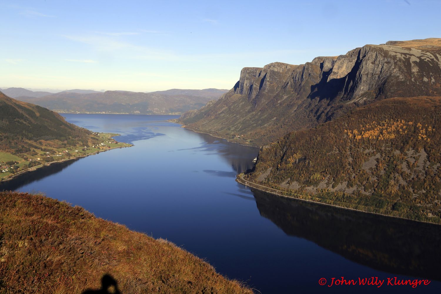
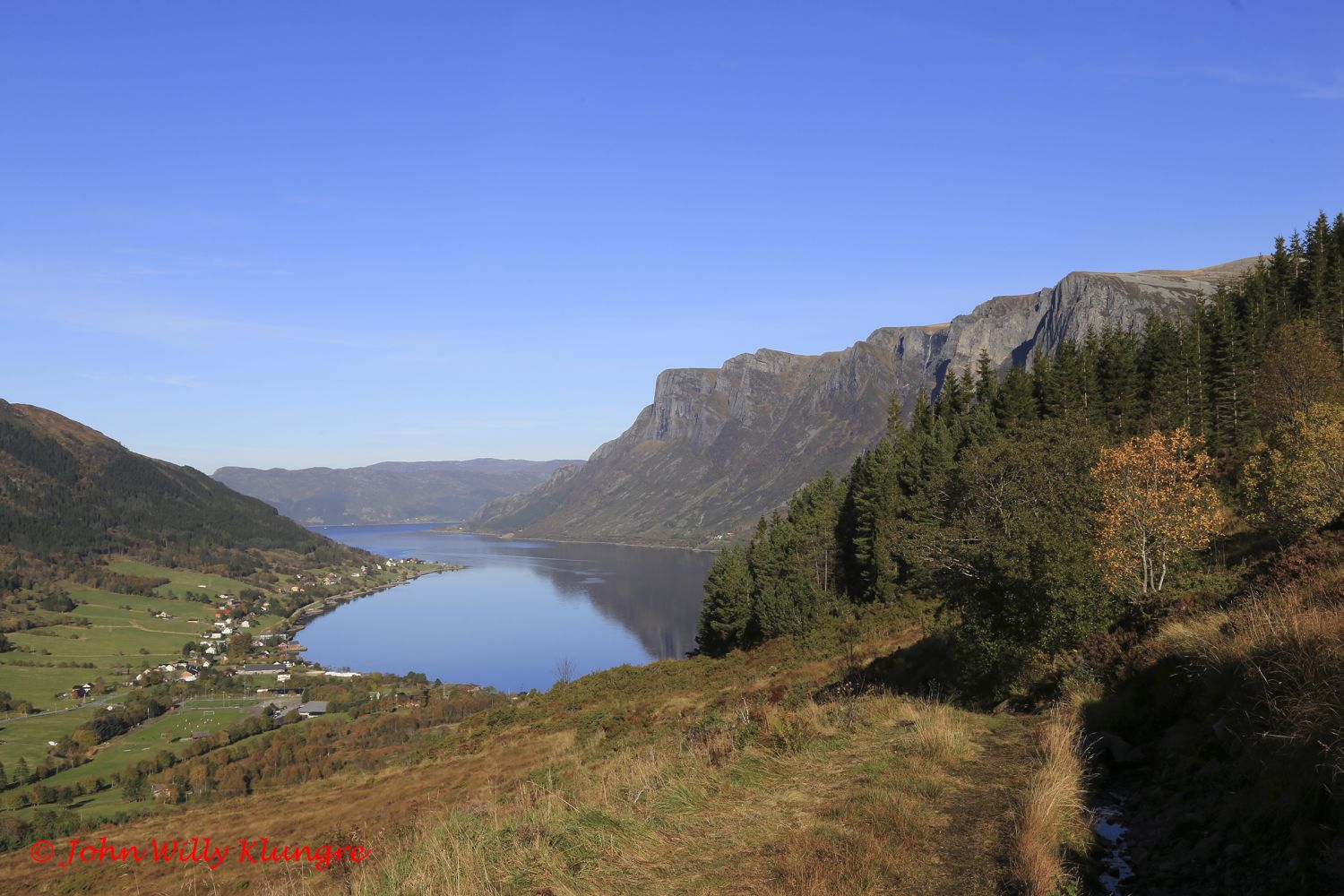
This trail is ideal if you want to quickly climb up to a beautiful view or just want a proper uphill climb. Large parts of the trail are quite steep, so you will get good exercise. On your way down to the starting point, you can choose a less steep route via the 4H cabin. The height of Taksetnakken on many maps is 401 m a.s.l., while the highest point of the mountain is actually 408 m a.s.l. If you go straight up and back the same way, the length of the trail will be about 2 km, while the circular route via the 4H cabin is about 5 km long.
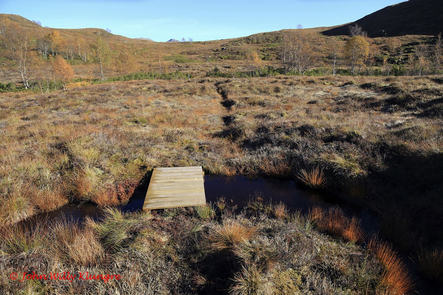
The GPS track below goes steeply up to the top of Taksetnakken and then down via the 4H cabin. The last junction and the starting point of the tail are signposted, and the entire trail is marked with blue way markers and blue paint in the terrain. On your way down from Taksetnakken, you will walk through the marshy area with small bridges and wooden footpaths over the wettest sections. Here, it is best to follow the marked trail to avoid getting wet feet.
To find the beginning of the path, drive from Eidså and turn in the direction of Syvde at the junction of national roads 62 and 651. Turn right after 500 metres and follow the old national road. Drive for about 400 metres until you reach Mesta’s road station. Just before the road station, you will see a sharp turn to the right up a relatively steep hill and the first signs pointing to Taksetnakken. It is often difficult to park your car at the starting point of the trail, so you can park by the road station instead and walk the remaining 300 metres up to the start.
Begin by walking in the direction of Taksetnakken and the 4H cabin. If you want to go straight up Taksetnakken, turn off the hiking trail right next to the television mast at the foot of Taksetnakken. You will see the first way marker from the television mast. From there, the path is well marked all the way to the top. The distance from the turn by the television mast to the top of Taksetnakken is about 1 km.
Duration
3 t. 20 min.

Sesong
Spring, Summer, Autumn
Signage
No signage or markings
| Surface type |
Distance |
| Sti |
3 |
Hiking map: På tur i Vanylven (Eng. Hiking in Vanylven) – can be purchased at local shops and petrol stations in Vanylven Municipality.
 Driving directions
 Route data
GeoJSON