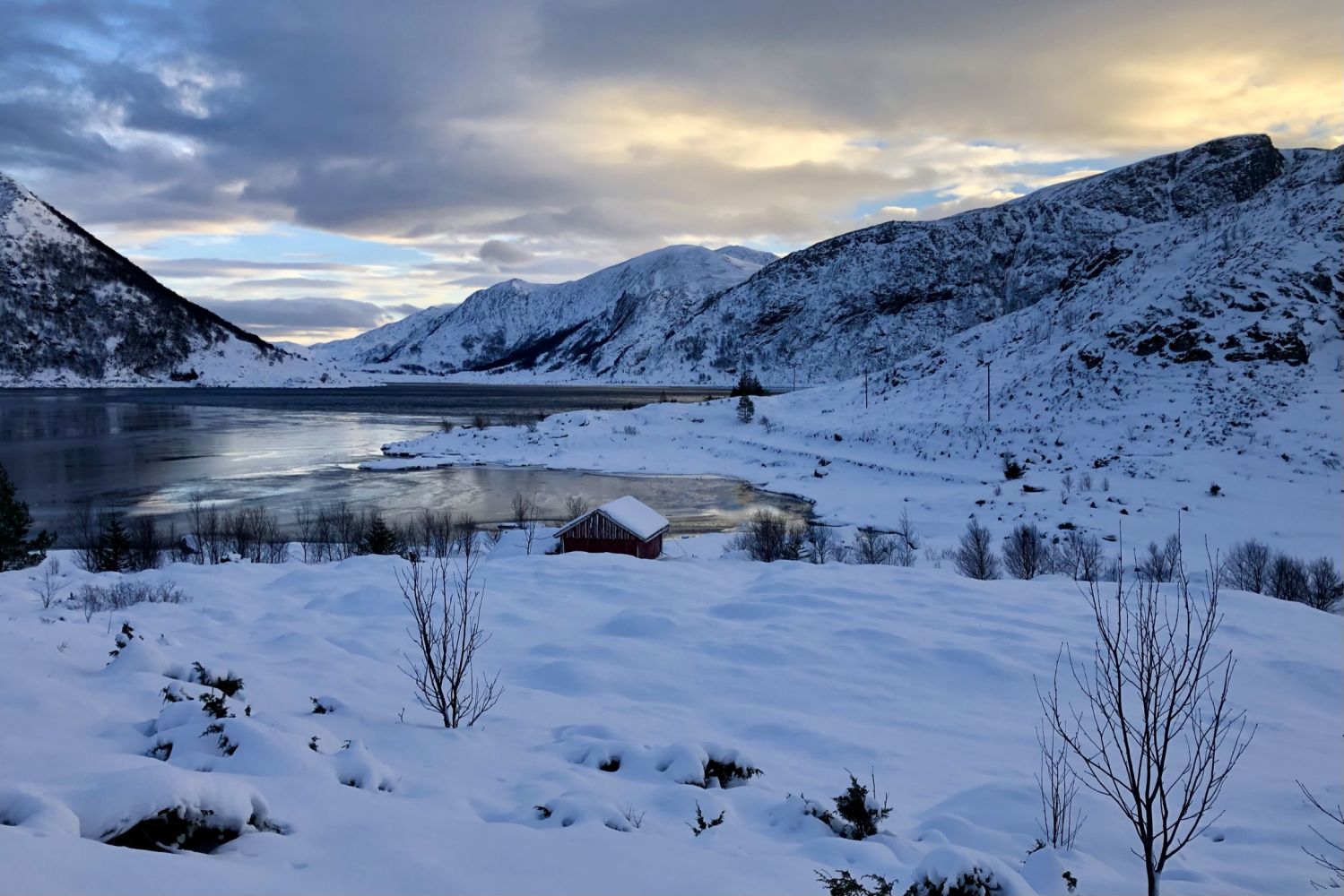
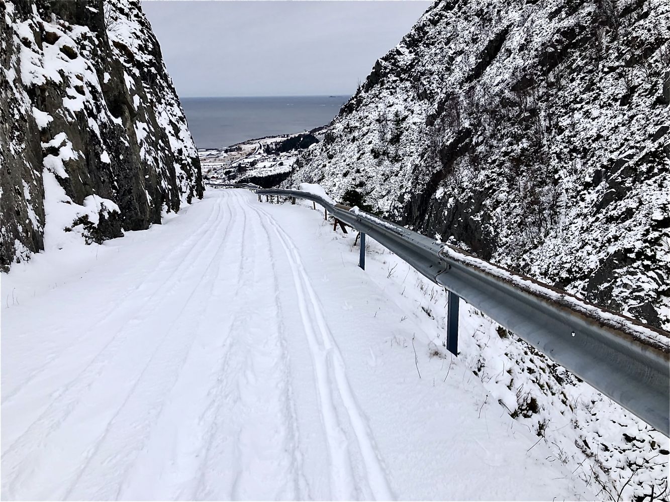
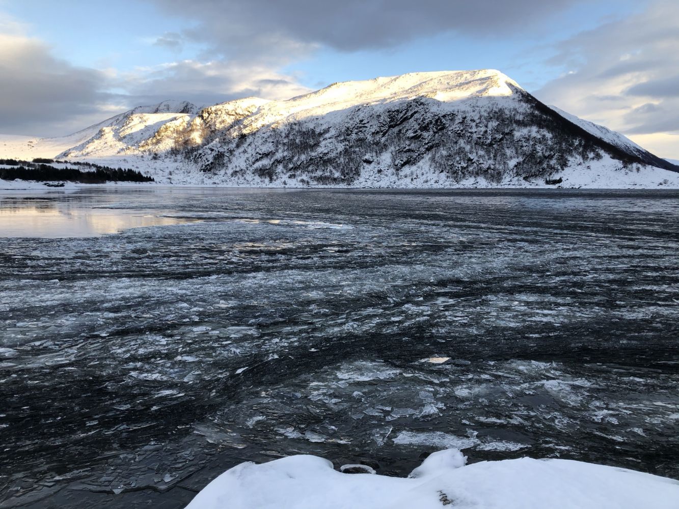
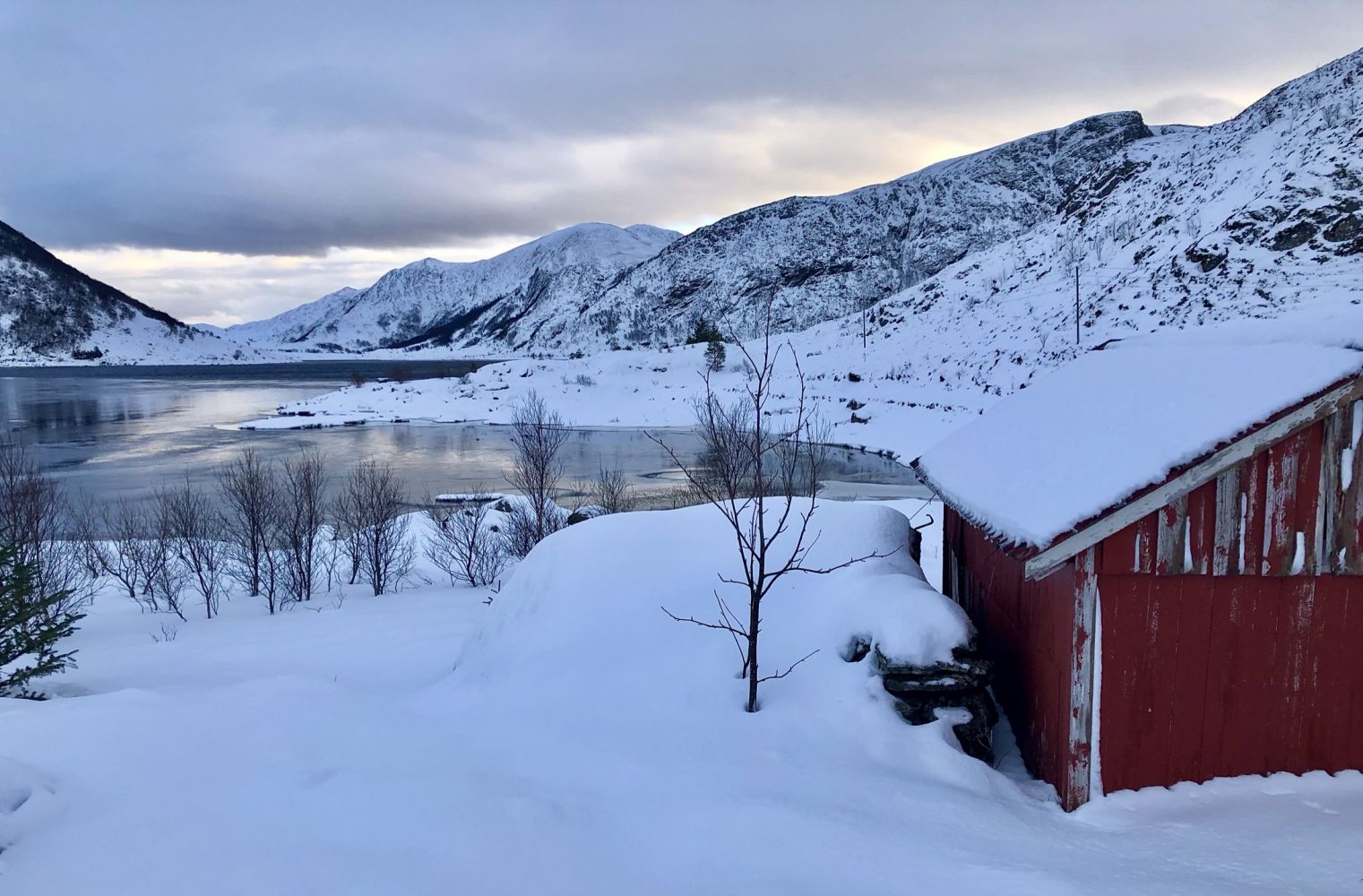
This trail follows a gravel road with a gradual ascent up to Lake Sædalsvatnet. From there, you will walk along the lake towards Synken.
Route description
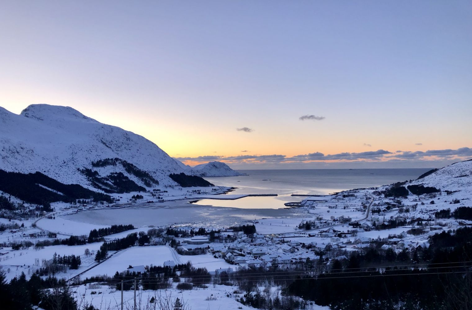
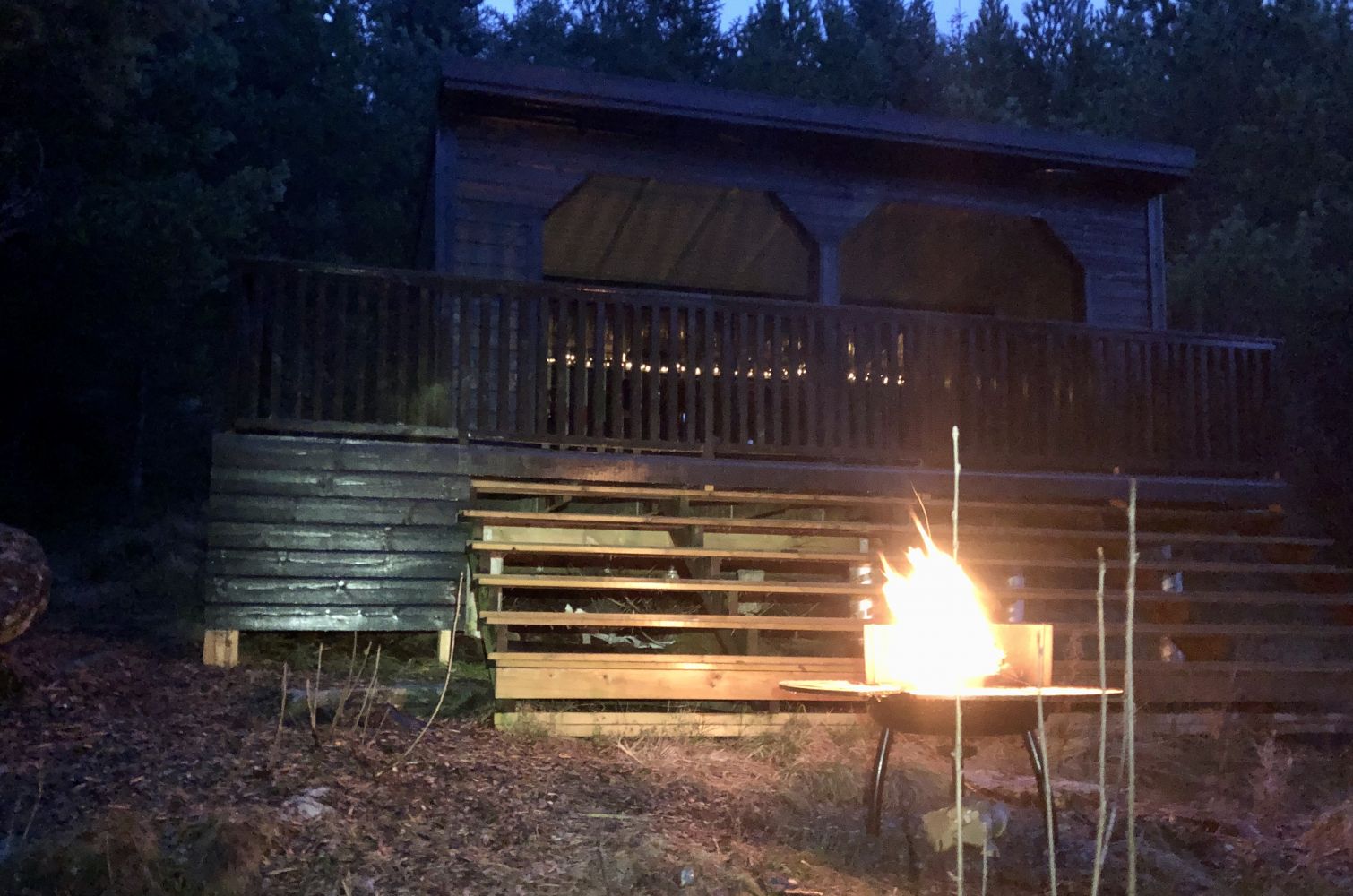
From the car park, follow the road up towards Sædalen. You will pass a gapahuk shelter on the right side of the road after about 600 m. Here, you can take a break if you feel like it. Continue along the road as it takes you further up towards Lake Sædalsvatnet. From Kloven, you will get a nice view over Gjerdsvika. Once you come to Lake Sædalsvatnet, you will see a sign pointing to Synken. The distance from this sign to the trail destination is about 900 m. There is an information board at the car park with a map showing the hiking trails in Gjerdsvika. This trail is also indicated on the map.
Access and parking
Park your car by the community hall Fredtun. The car park lies about 300 m north of Coop Market.

 Driving directions
 Route data