Syltedalen – Syltehornet – Ekremsdalen
Vanylven
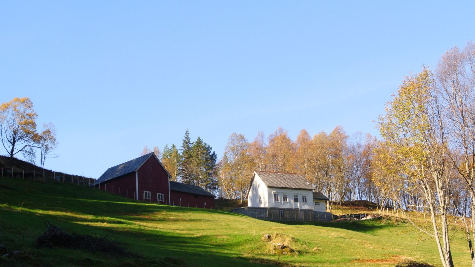
This is a perfect fit for a family hike. The trail follows a gravel road, covers marshy terrain up from the Ausa farm, and continues through the Budalen Valley. It is fun for children to walk along the Budalselva River and explore the small caves in Budalen. Make sure to stop by the newly restored mountain farm Ausa on your way up. The farm is in use today after being abandoned for almost 40 years. You can explore the exciting cultural landscape around the farm. There are stone walls of barns and calf nurseries as you walk further. Once in the Budalen Valley, take a short break by Budalsselet, a well-maintained farmhouse with stone seating outside.
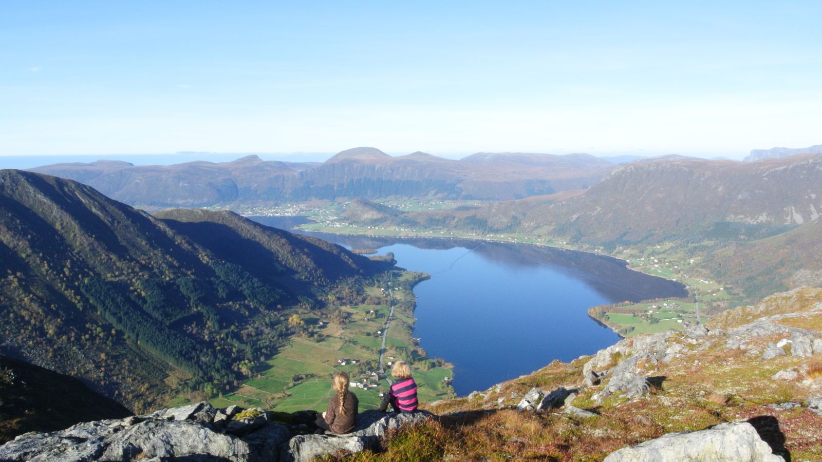
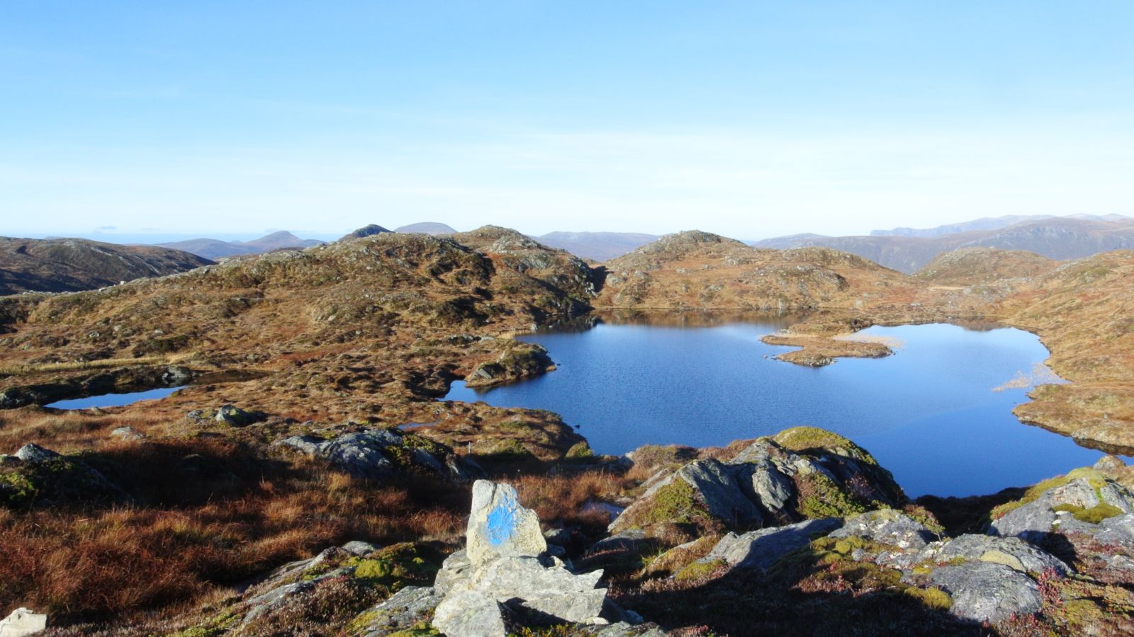
After Budalen, you will walk through high-mountain terrain. The area is hilly and rocky, but it is nice and easy to walk. You will pass the idyllic Lake Syltehornsvatnet before crossing the river mouth and ascending Syltehornet. There, you will be welcomed by a fantastic view both over the Syltefjord and the mountains of Syvde in the east.
The trail continues towards Ekremsdalen in the Syltefjord. This section before the descent is really spectacular. You will pass the lakes Merkingsvatnet and Steinevatnet (Grunnevatnet) before coming towards the side of Åheim where you can look down the Gusdalen Valley. Walk along the mountain edge for a little while before turning towards the Kvernaskarvatna lakes. This is a popular camping area for families. The lakes are full of small fish that are easy to catch. There is a nice camping site and a place for a fire by the northernmost lake.
The final section of the trail goes through the Ekremsdalen Valley, and you will follow parts of the old transport route over the mountain between Åheim and Sylte. The farm buildings in the area date back to the times of mountain farming. Parts of the path in Ekremsdalen are made of stone. Be careful here since the stones can be very slippery in humid weather. The very last section of the trail follows a forest road all the way to the main road in Sylte. You will get to enjoy scenic views the entire time.
The end point of the trail is Ekrem in the Syltefjord.
GPS coordinates: N62.03.132 E05.36.132
The level of difficulty of this trail is medium to easy, and the hike is suitable for most people. The GPS track on this page follows the new road from Syltedalsvegen to Ausa and the old path from Ausa to Auseskaret. There is also a forest road in the area, so it is possible to drive all the way to Auseskaret if you want.
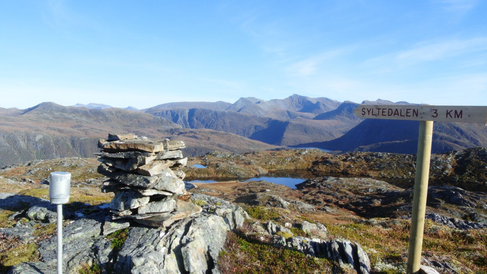
The trail follows a marked path the entire time and is well signposted at the junctions.
Drive from the Syltefjord to the plateau in Syltedalen. The starting point of the trail is by the sign for Budalen and Syltehornet on your right-hand side. Start walking from the new road to Ausa.
Park your car in Syltedalen, by the large red garage for milk trucks in Ausemyrane. No parking fee applies. The starting point of the trail is marked with a sign.
Duration
6 t. 30 min.

| Surface type |
Distance |
| Sti |
10 |
You can not get to Syltedalen by bus, so the alternatives are driving, cycling, or walking from the main road.
There is a bus bay at the main road where you come down from Ekremsdalen.
There is a quartz deposit on Syltefjellet that comes to light here and there along the trail. You can find nice quartz stones on the route. Some of the quartz is polished to form round stones which look great.
Fun fact: During the hurricane in 1992, the farmhouse in Budalen was lifted off its foundation walls and crashed. Long after, one could find forks, playing cards, and potholders all over the valley. The barn was later rebuilt and used as a farmhouse/cabin.
 Driving directions
 Route data
GeoJSON