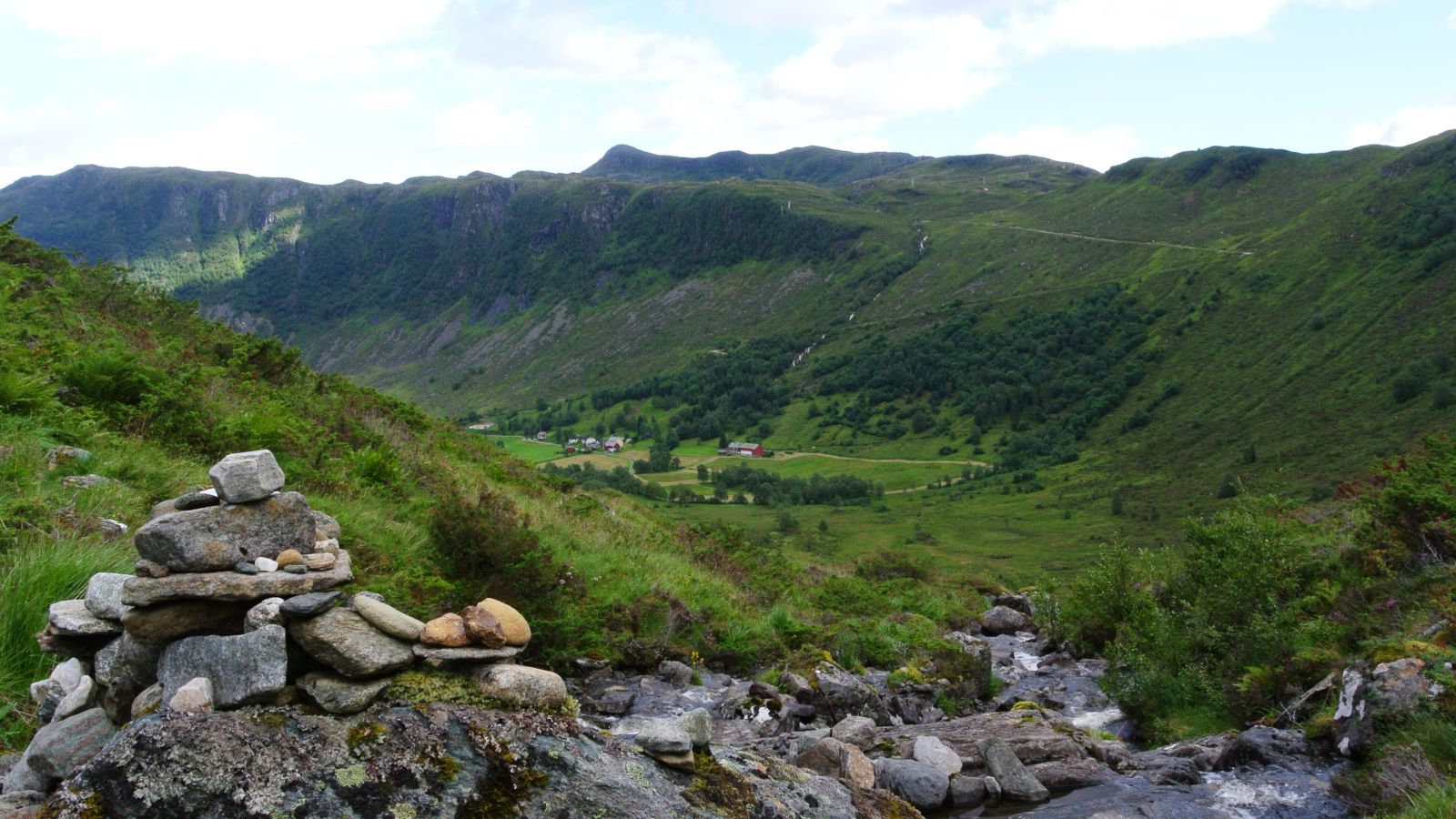
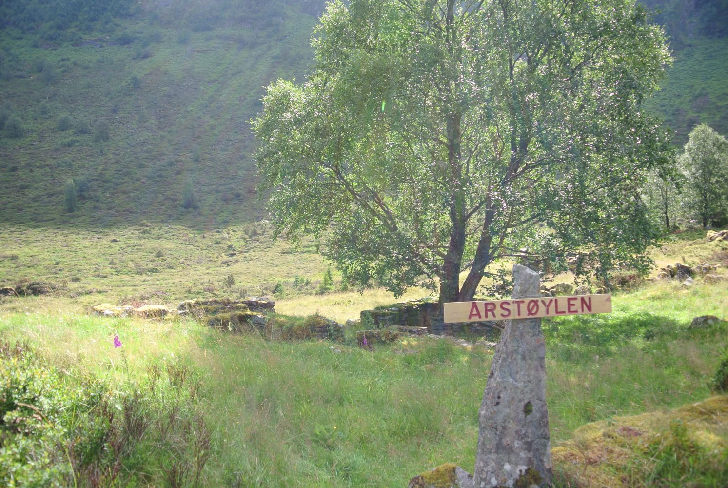
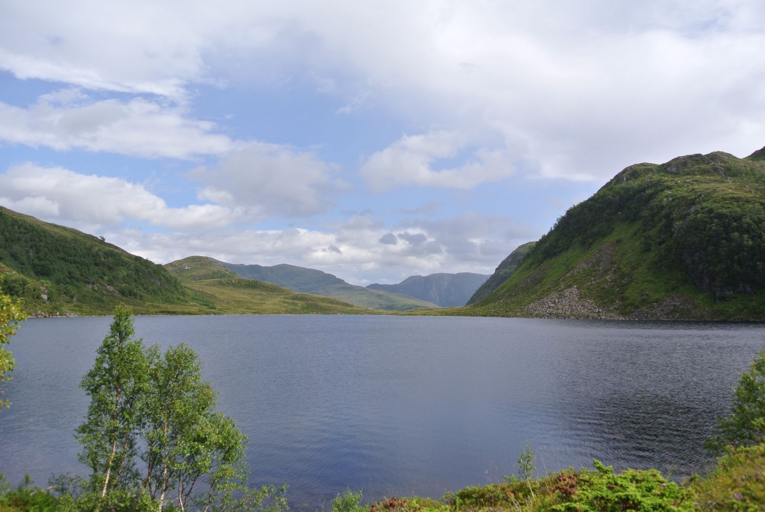
This is a day trip of an average length, where you will get to enjoy the cultural landscape around Årstøylen, collecting limestone and olivine on Raudesanden, fishing in Lake Skjevatnet, and the view of Småhorna, Nonsegga, and Middagshornet. The trail starts and ends by Lake Støylsvatnet in the Syltedalen Valley. You will walk along a marked path the entire time.
A beach called Raudesanden is a paradise for collectors of rocks and people interested in geology, since it has large deposits of mica, olivine, eclogite, and quartz. You can also find beautiful peridots if you search a little.
People interested in botany will find plenty of exciting plants here. The Norwegian Directorate for Nature Management classified the areas as very important (type A). Some of the plant species that grow in this humid area are ladder spleenwort, early-purple orchid, lesser butterfly-orchid, common spotted orchid, a lot of yellow mountain saxifrage, alpine bartsia, mountain melick, whorled Solomon’s-seal, and lily of the valley. The area along the river that flows down the Syltedalen Valley is replete with, among others, purple saxifrage, yellow saxifrage, alpine bartsia, flea sedge, sheathed sedge, green-ribbed sedge, star sedge, moss campion, and Saussurea alpina.
Special species: ladder spleenwort that grows in olivine rich soils is red-listed as a rare plant. In the drier areas, there are such species as lyre-leaved rock-cress (nationally protected species), alpine mouse-ear, red alpine catchfly, and sea campion.
This is a circular trail. Alternatively, you can walk over the mountain from Syltedalen to Gusdal or vice versa.
This circular trail covers various types of terrain. It starts from Syltedalen and continues up Skåra, along Lake Skjevatnet, up Ørnetua, and along Småhorna and Nonsegga until it reaches Middagshornet with a beautiful view. Follow the narrow ridge Moldeggane back to Kilebrekka along a well-defined path.
The section of the trail from Årstøylen goes over to the side of Åheim up Skårabakkjen and along Lake Skjevatnet. Some sections of the path along Lake Skjevatnet are uneven and go through areas of rough scree. Be careful when walking here. The entire path is well marked.
Once you have crossed the river mouth in Lake Skjevatnet, continue up to Ørnetua over somewhat marshy terrain. The path up towards the peak and further is solid under foot and easy to walk on. You will enjoy fantastic views along the mountain ridge! Once you have passed Lake Sætrevatnet, continue to Kilebrekka from where you should follow the road down to the starting point.
The starting point of this trail is from Lake Støylsvatnet in Syltedalen. The road continues further into the valley, but it is not so easy to park your car there. Follow the road straight ahead until you reach the last house in the valley, all the way to the end of the road. From there, follow the marked path. You can of course choose whether you want to walk from Gusdalen (the river mouth in Lake Skjevatnet) or from Kilebrekka.
Park your car by Lake Støylsvatnet at the start of Kilebrekkvegen Road.

 Driving directions
 Route data