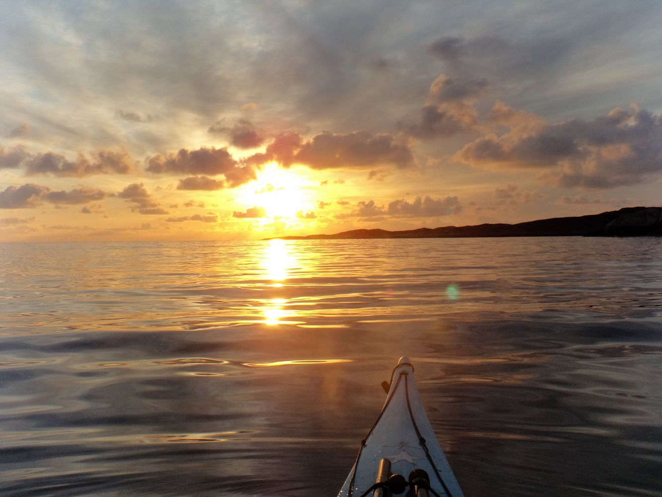
On this route, you can experience the open sea, smooth sloping rocks leading down to the water, the idyllic Sveggesundet sound, and wild, stunning nature. If you're lucky, you may also spot a few otters and white-tailed eagles.
This is a route where you can get close to the open sea, as the outside of Sveggøya is nothing more than the open sea to the west. The route starts by the Sveggvika guesthouse, and in this route description, you will be paddling north. The route can be paddled in both directions, and it is important to plan the timing of your trip, so that you paddle against the direction of the wind and waves on the northwest side of the island in the area of open sea.
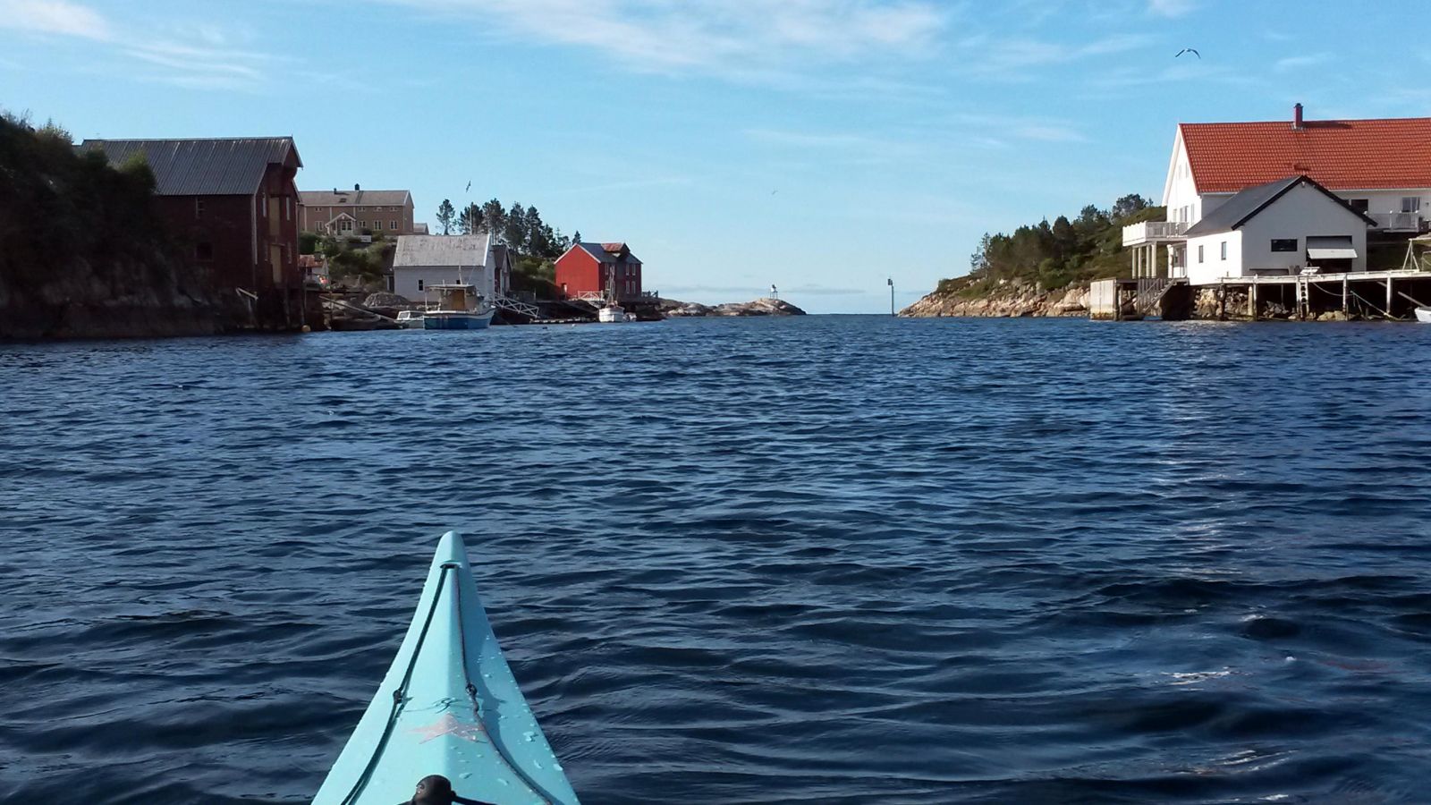
You will now paddle through Sveggesundet, an idyllic and sheltered sound surrounded by both old and new wharfs, and with an atmosphere of ancient Norwegian coastal culture. On the north side of Sveggesundet you'll see the island of Englan straight ahead, and you can paddle westward through Engelsundet. On the north side of Engelsundet is a bay in Englan that is sheltered by a small promontory. Here it's fairly easy to go ashore to stretch your legs or have a bite to eat.
On the west side of Engelsundet, you should study the waves and how they break against the rocks to determine your continued paddling journey. On the west side of Skåråhammaren, the sea may be rough due to waves reflecting from the rocks, and it may be best to paddle a little further away from land. There may also be some undertow and choppy sea in the area between Oterholmen and land.
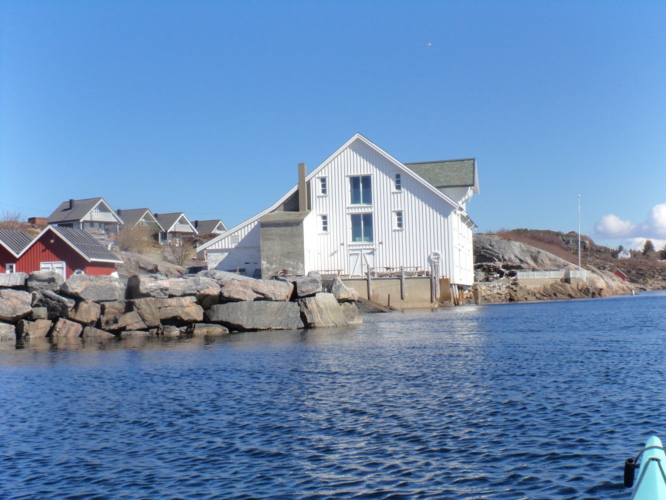
At high tide, it is possible to paddle into a small passage on the back side of a low island and continue south towards the settlement (see the map in the route description). This is well sheltered and it's easy to go ashore for a bite to eat. It may be difficult to enter this passage from the northwest when there are waves from the west. If so, you can paddle south through the sound instead. You can then go ashore inside the red wharf and take a walk up to the memorial called "Stille rom" ("Quiet room").
Now you will exit the sound on the south side of Raudegga, so keep a good distance to land by Storneset as it is shallow quite far out and waves may break here.
It may be a good idea to go ashore in Båtvika, where there are good places for a swim or to practice rescue techniques.
From here, the route returns towards Sveggesundet and Sveggvika.
During the summer season, you can park your car, buy a coffee and launch your kayak at the Sveggvika guesthouse at the end of Seivågnesveien. The guesthouse, located down by the water, is a converted wharf where salted cod was once stored. You can also park at Raudegga on the west side of Sveggøya and do a round-trip from there instead.
Duration
1 t. 35 min.

Sesong
Spring, Summer, Autumn
May be exposed to the weather, especially from westerly and northerly winds.
At Raudegga, you can look up at the memorial called "Stille rom" or "Quiet room". Or go ashore and walk up to the memorial, which was erected in memory of the tragedy that occurred when two Norwegian torpedo boats in the winter of 1944 mistook the Hurtigruta ship "Irma" and the cargo ship "Henry" for an enemy convoy and torpedoed both, causing the deaths of 65 people.
 Driving directions
 Route data
GeoJSON