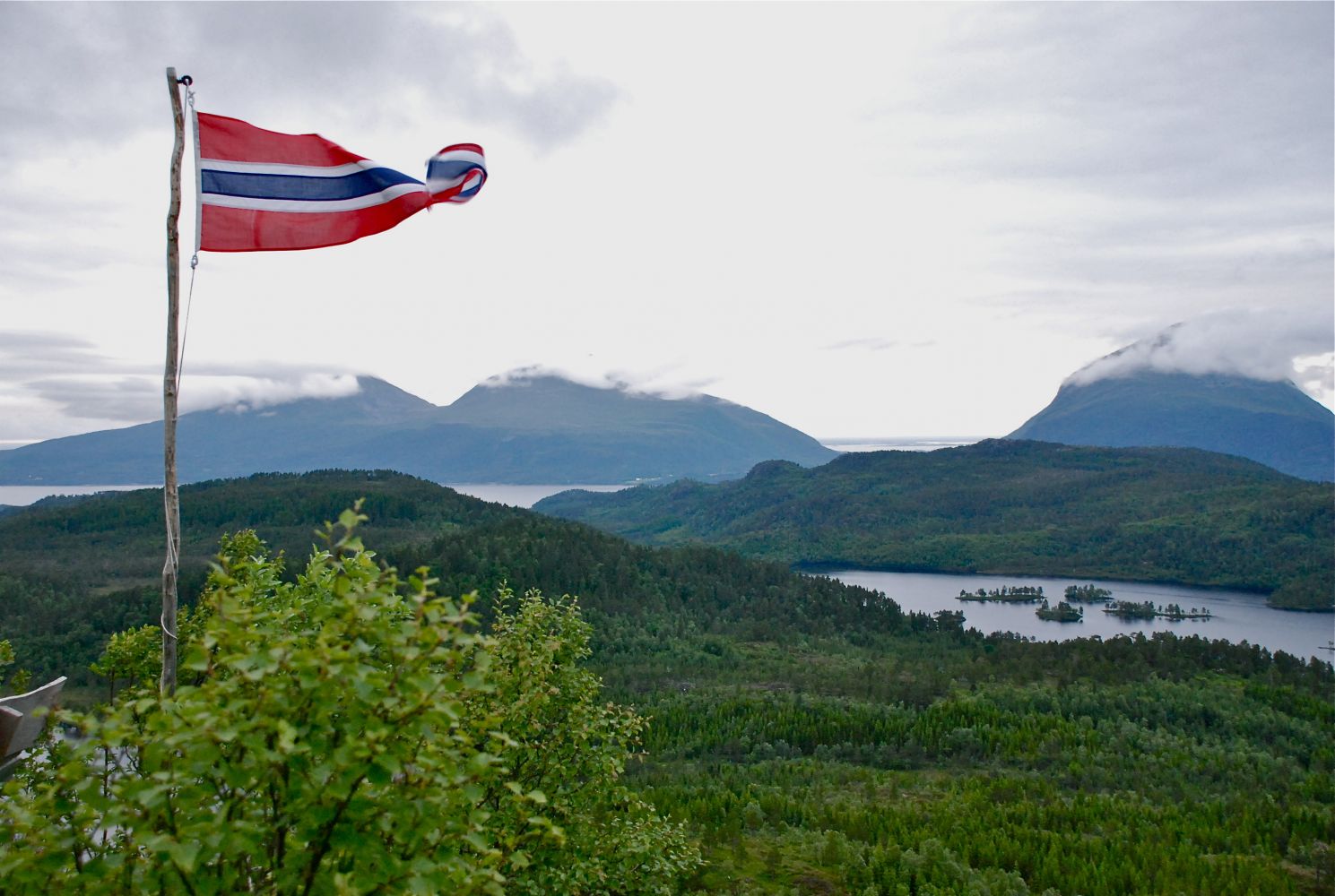
Svartberget, 342 m a.s.l.
Heim
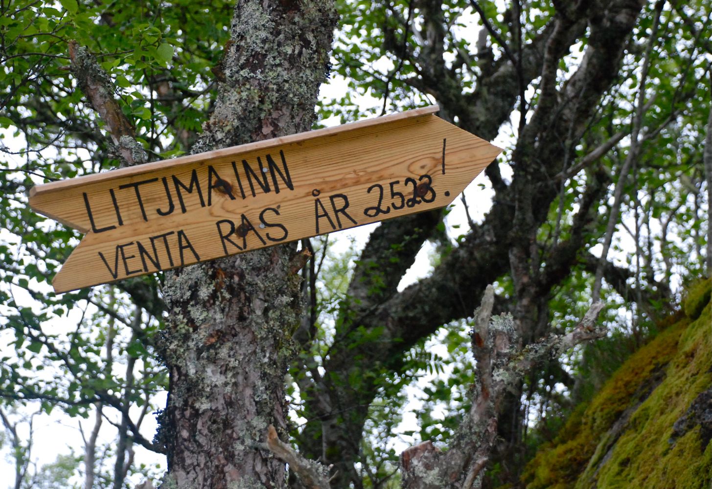
This trail is an excellent choice for families with small children. The trail gradually ascends and primarily follows a forest road and a good path. Several rest areas are set up along the way as well as a number of surprises. What is there hiding in the woods?Also, you can take a break in the “gapahuk” shelter. At the top you will find a trail journal where you can write your name. A private lottery is organized every Midsummer.
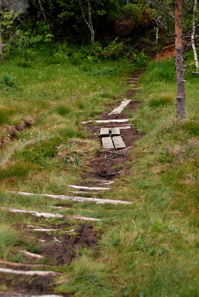
Begin walking from the car park in Reitan, Halsa municipality. Follow the well-defined path as it takes you through a broad-leaf forest, spruce forest and then an open broad-leaf forest again until you come to an old cart track. Follow this track for the majority of the hike until it changes into a path right at the top. It is fully possible to wear trainers without getting wet.
The trails starts from the car park in Reitan, Halsa municipality. To get to Reitan, turn off E39 at the signs pointing to Halsa church and Korsneset. Drive for about 1.5 km past the church and then you will pass a couple of farmyards before reaching the car park. Look for the sign on the left side of the road.
Duration
1 t. 30 min.

Sesong
Spring, Summer, Autumn
Signage
Both signed and marked
1421 III Halsa, tourist map of Halsa
 Driving directions
 Route data
GeoJSON