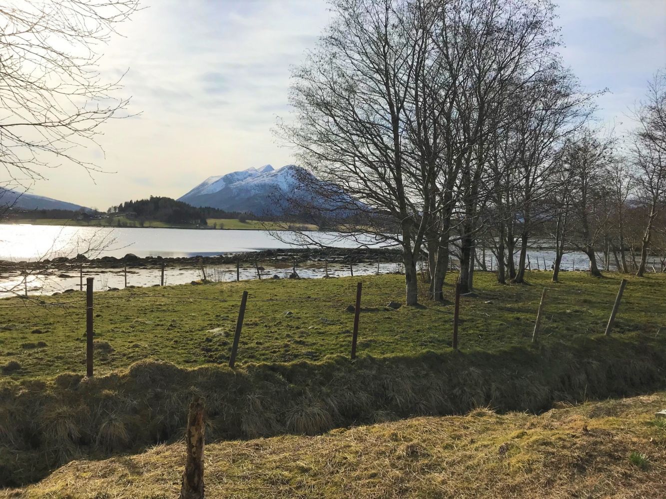
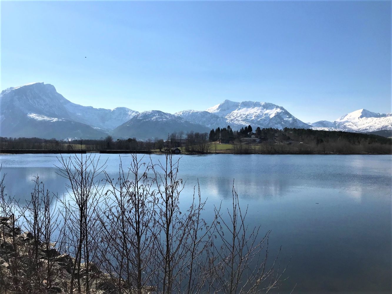
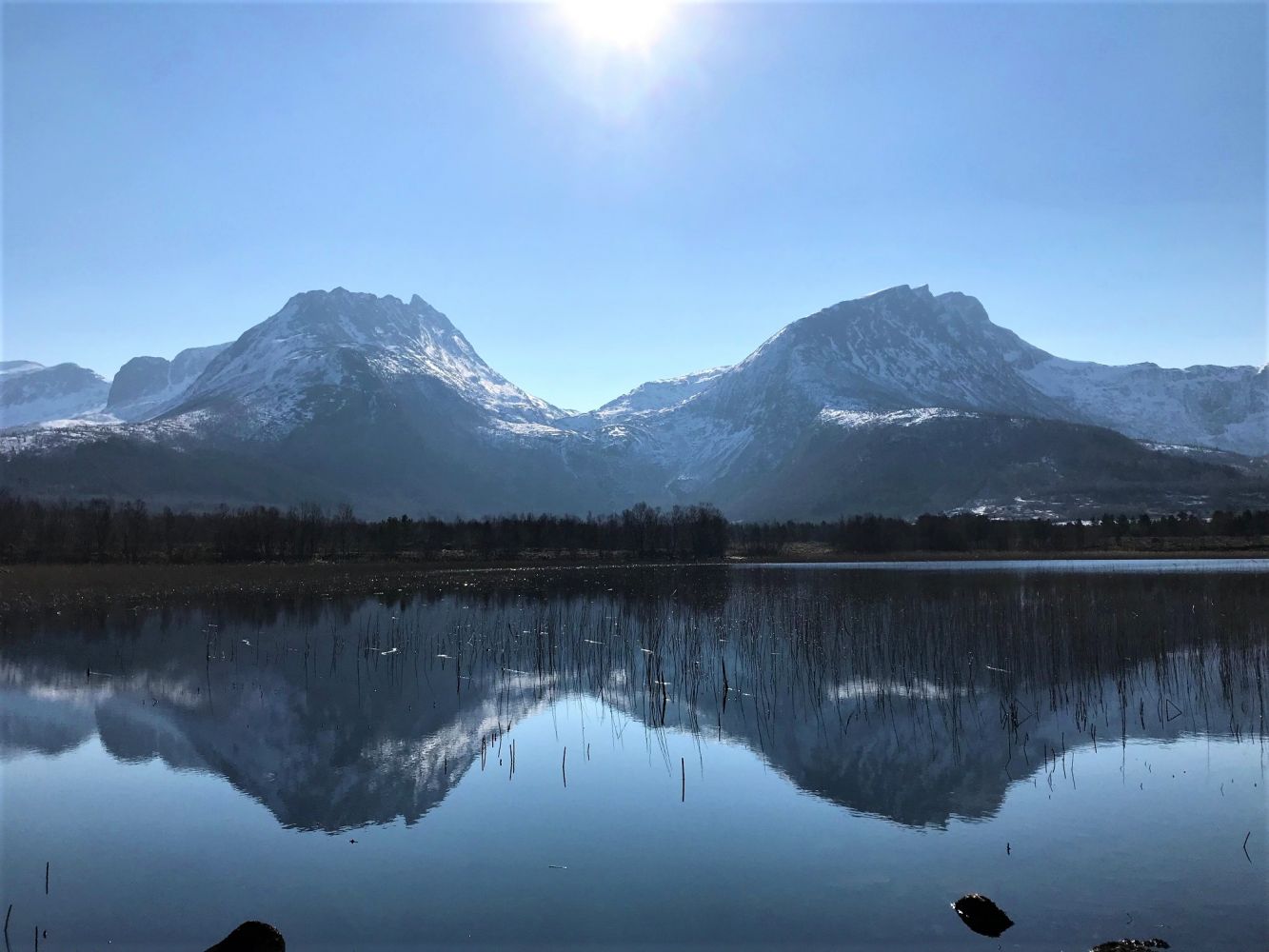
The trail starts at the car park by the Holmsund Bridge and runs through a beautiful landscape past Svanvika and towards the river that flows from Lake Litlvatnet/Vassgårdvatnet. It partly runs through a nature reserve.
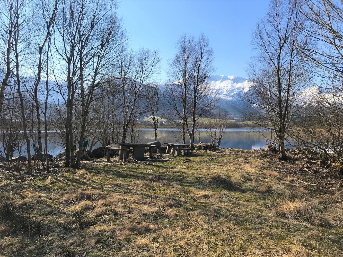
Leave your car at the car park by the Holmsund Bridge. Follow the footpath over the bridge in the direction of Svanvika. Turn off the footpath after about 650 m and follow the gravel road. When the gravel road splits after about 100 m, turn left and follow another road through a pleasant tree alley. After about 250 metres, turn right at the sign for Svanvikmyra and follow the road until you come to a boom gate. The road splits again after about 150 metres past the boom gate. Follow the arrow and walk along the road to the right as it takes you down to the river. You will soon see a Stikk Ut trail postbox and a bench to rest on just by the river. The hiking trail is stroller-friendly and suitable for cycling. If you want to walk on foot further ahead, follow the overgrown path along the river until you reach the mouth of the river by Lake Litlvatnet. You will also find some benches to sit on (be careful with the heavy stone tabletops).
From the centre of Eide, turn off National Road 64 at the first junction (Strandvegen Road) and take the left turn to Høgset. Follow County Road 279. From the direction of Molde, take the turn to the right at the first junction after the Sjelvik car service. You will find the car park on Strandvegen Road before the Holmsund Bridge if you are driving from Eide.
Duration
55 min.

Sesong
Winter, Spring, Summer
Signage
Both signed and marked
| Surface type |
Distance |
| Asfalt |
0.65 |
| Grus |
1.1 |
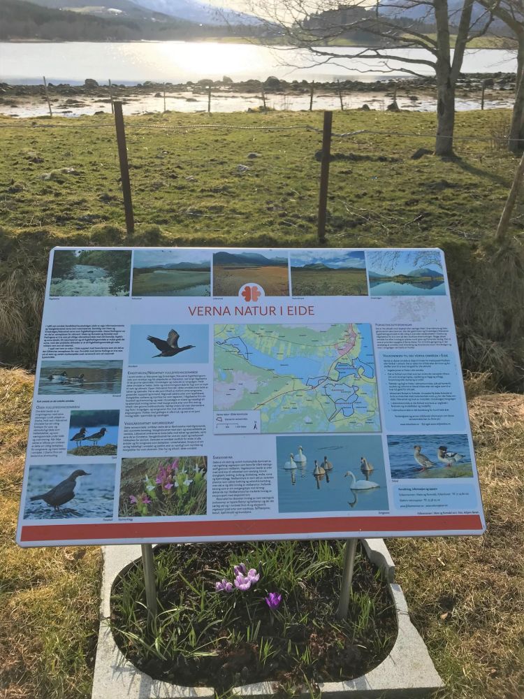
Parts of the trail run through the nature reserve and protected area. Learn more about the nature reserve from the information board at the car park by the Holmsund Bridge. The area of Svanviken has its own history that is also worth reading about.
 Driving directions
 Route data
GeoJSON