Around Straumøya, round-trip
Smøla
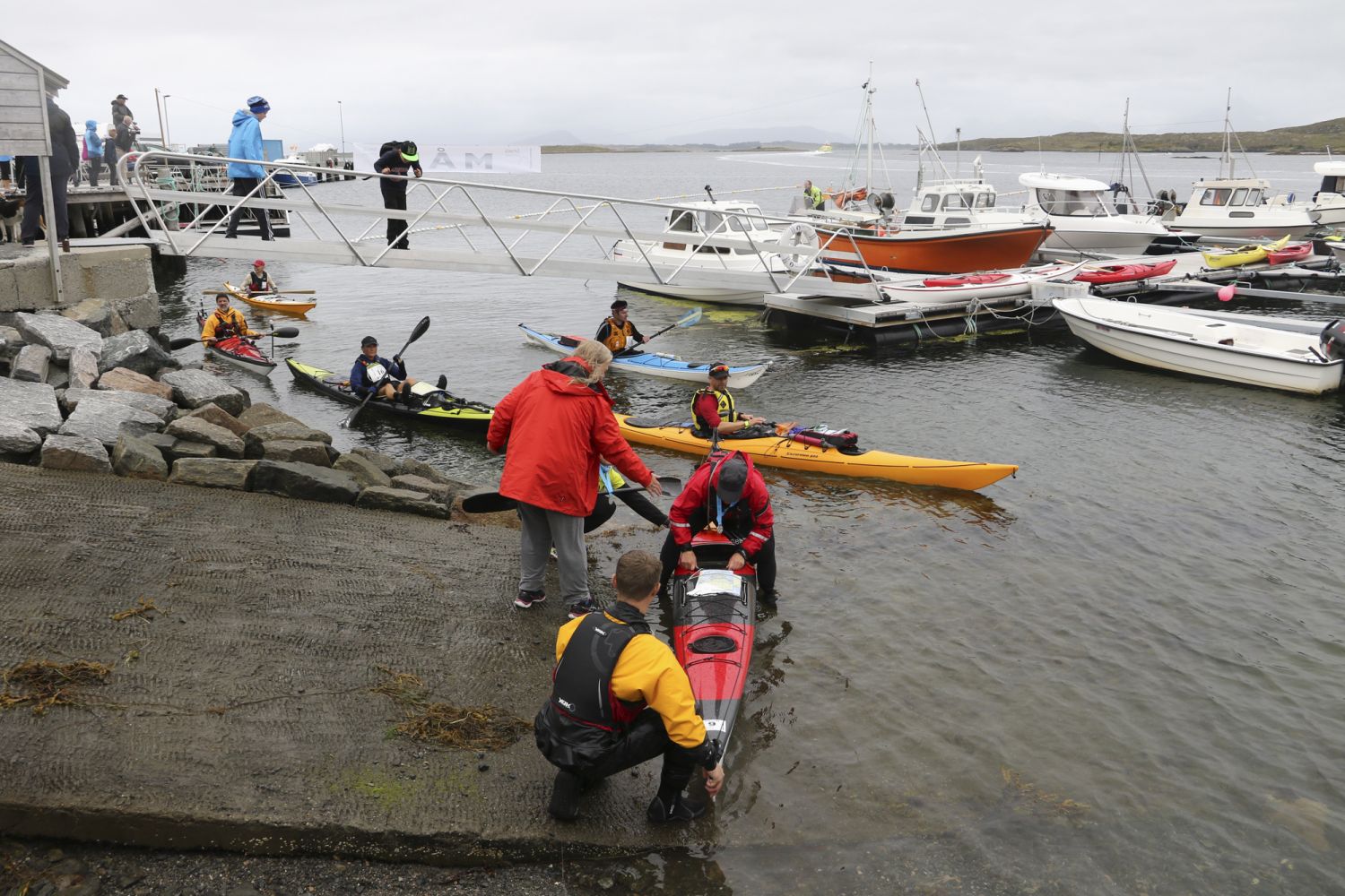
The launch site is in a sheltered area in a bay. You will paddle out to a sheltered area with many islets.
Most of the paddling will be done through very sheltered waters. There is only some rougher sea on the east side of Straumøya in easterly winds.
Study the tidal chart carefully before heading out. Don't start the route when the water level is low. If the water level is lower than 90 cm above the tidal datum, you will have to drag your kayak quite a few metres along the north side of Straumøya, and it will be more difficult to launch your kayak. Navigation between the islands is easy and the route leads along land the entire way. There is also very little boat traffic as it is too shallow.
There are some pyramid-shaped islands where eagles often sit and monitor the landscape. There are several eagle nests in the area, so perhaps you'll catch a glimpse of one.
At the north end of Straumøya there is a shop and some benches where you can have a rest. There are also opportunities for breaks on some of the islands.
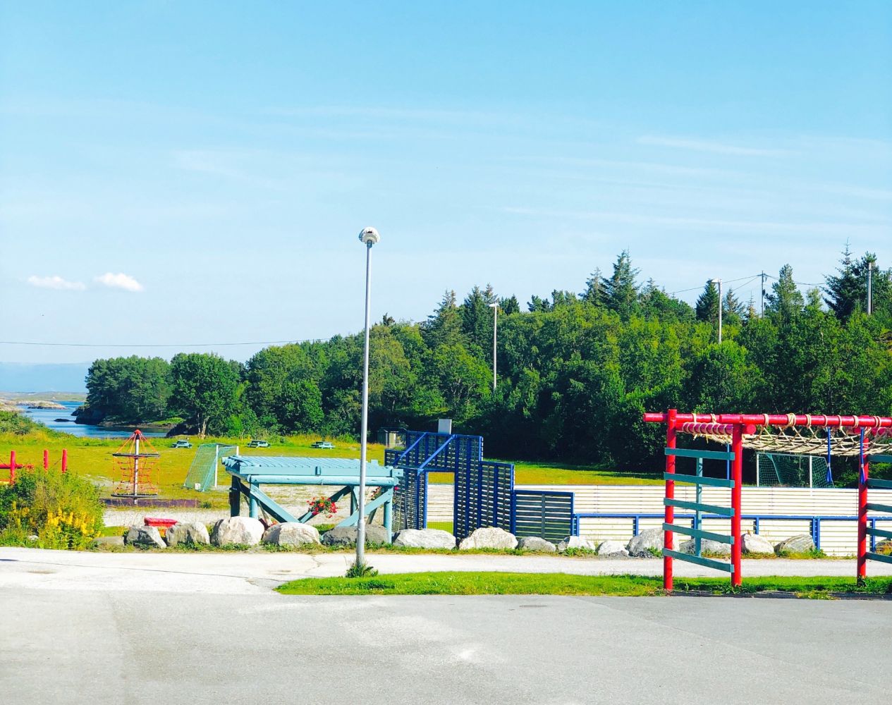
In Straumen, the starting point is at Eco-camp Norway. This was once a school that has been converted into a great hostel. It is located along the main road 7 km from the ferry. It is clearly marked with a sign on the main road. Here there are parking spaces for 5-6 cars. You can drive down to the edge of the water across a grass field to unload your kayak. It may be difficult to launch your kayak during low tide. Ask Eco-camp for permission to park.
Duration
45 min.

Sesong
Spring, Summer, Autumn
Download the Fram app for bus schedules.
 Driving directions
 Route data
GeoJSON