Norsk

Storsvingen in Tafjord

Fjord

The trail at a glance

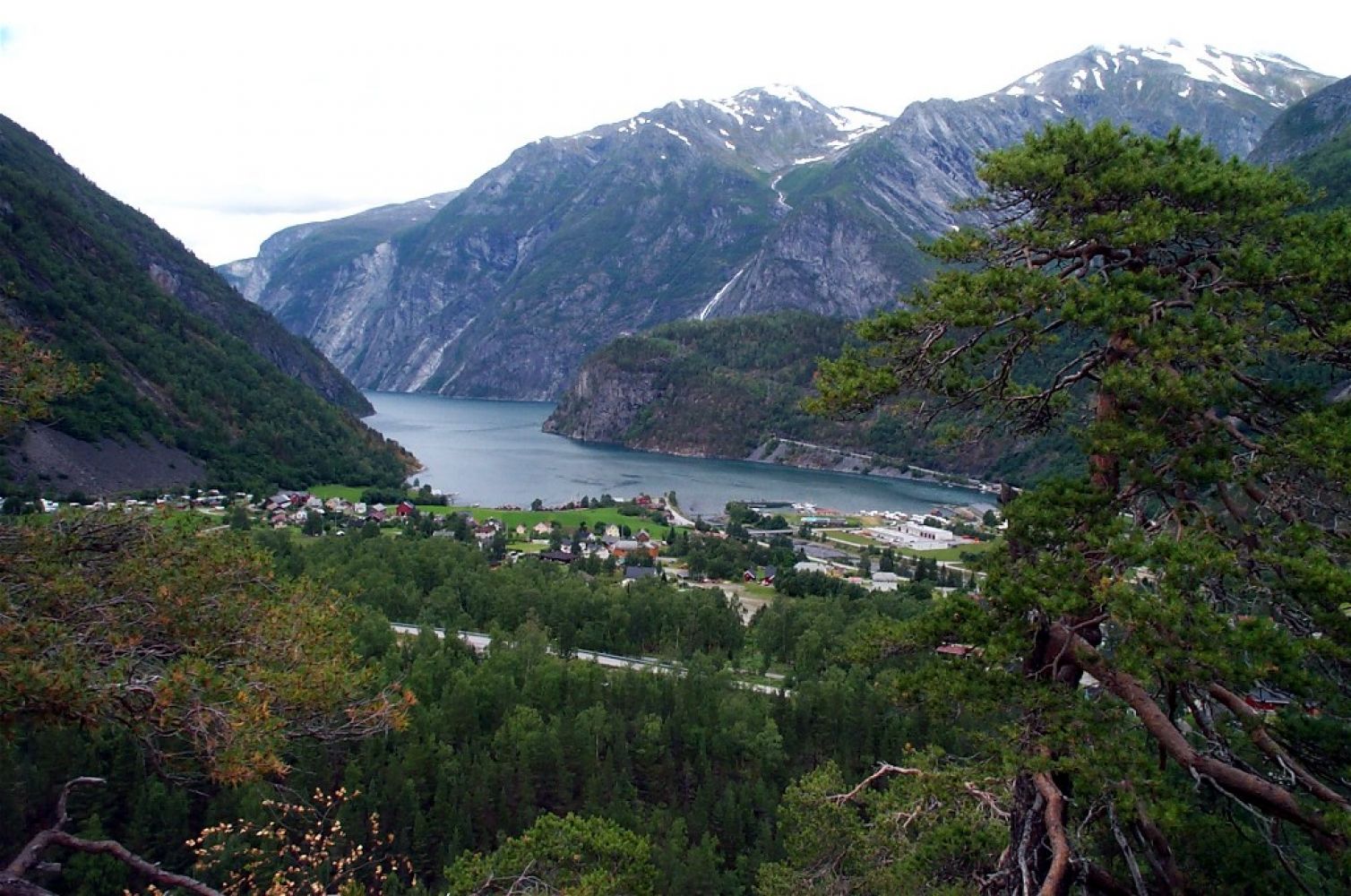
This straightforward loop trail offers a great view over the village of Tafjord. It takes you past both the old and the new power plants as well as the remains of the first ever power plant in Tafjord. The trail also covers a cultural landscape and a residential area in the village.

Route description

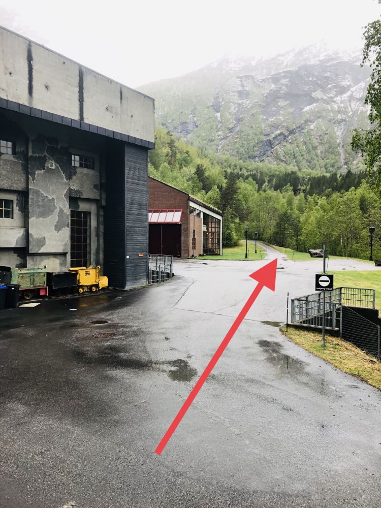
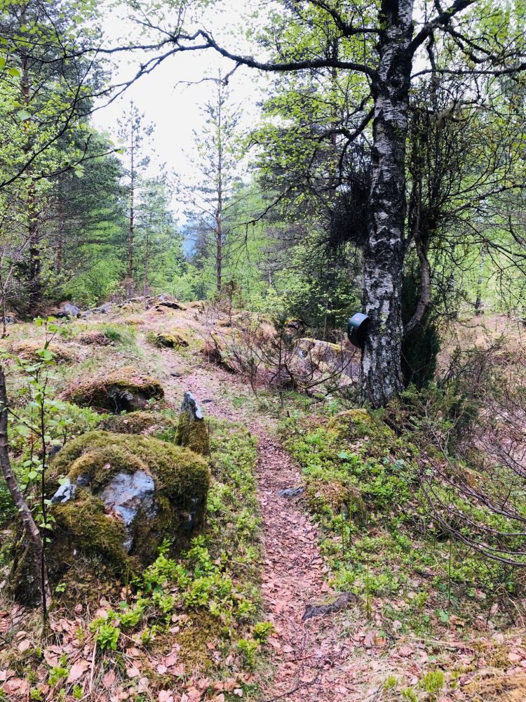
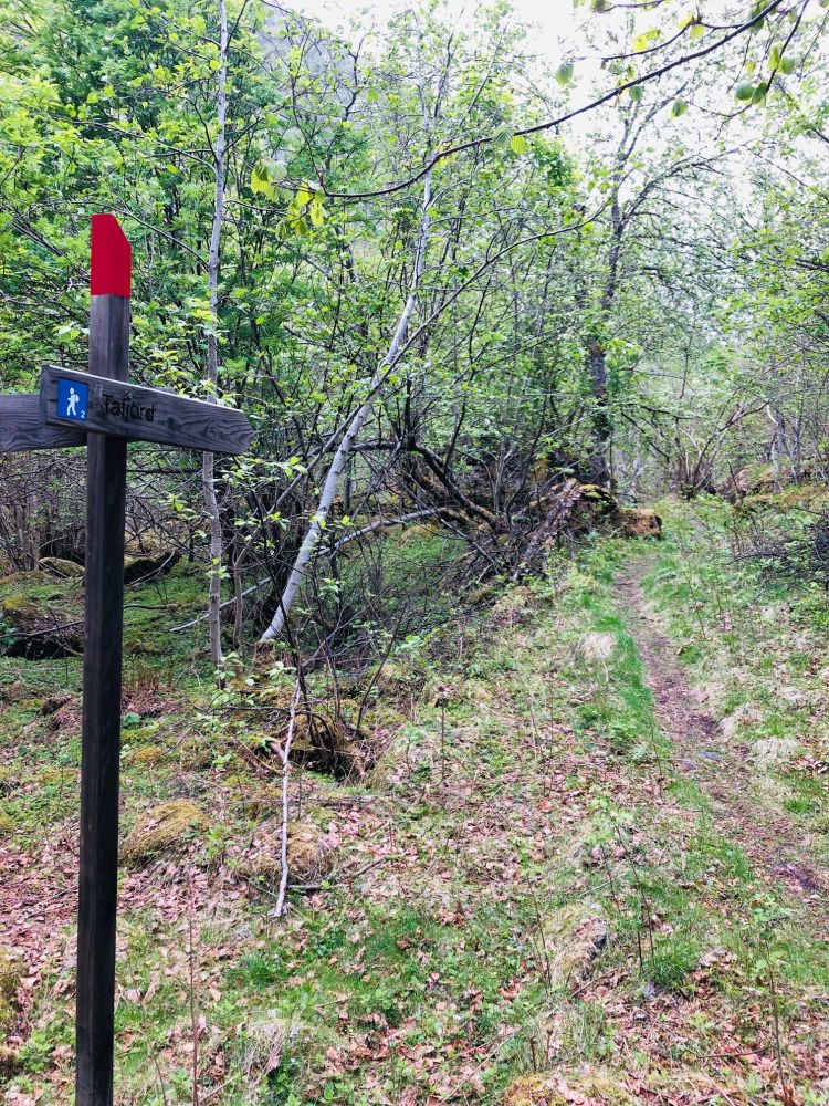
The starting point of this trail is Kraft- og Skredsenteret (Eng. the Power and Avalanche Centre). Walk past the centre, which is in the old power station, and the new power station right next to it. Continue walking further up along the old riverbed by following an asphalt road and then a path. Follow the red marks on the trees. After about 400 metres, you will come across the remains of the first ever power plant in Tafjord which was established in order to produce electricity needed for the construction of the power station Tafjord 1 (1923). This temporary power plant was demolished in 1925. From this point, the path climbs up quite steeply and becomes somewhat rough until you reach Storsvingen. You will also see the remains of the pipeline foundation that used to bring water from Lake Onilsavatn to the temporary power plant. The pipeline was wooden, and the materials were later reused for the construction of houses in the village of Tafjord.  You will get a great view over the village of Tafjord from Storsvingen. The trail runs down again from that point. Follow the brief asphalt section of the main road. Turn right at the entrance to the tunnel and follow the old road as it turns three times on its way down to the bridge. Notice the good-quality stonework of the road and the bridge. Turn left up a small hill about 100 metres after you pass the bridge. The path runs through a forest, an old pasture, and a cultural landscape in the direction of the village and the fjord. Parts of the path can sometimes be poorly defined, but it is still okay to follow. On this section of the trail, you will walk past a Stikk Ut trail postbox and a sign for Tafjord at the fork in the path. This is the local fitness trail. Follow the path until you reach the asphalt road Sjoavegen. Walk across the road and continue along the path that runs through the forest until you reach Tafjord School (closed down). You will enter the residential area just after the sports ground. Follow the road as it first turns left and then right for 200 metres until you reach the county road. From there, walk up for a short section until you turn off to the left onto a path that goes down to the riverbed. Cross the river by the outflow that runs to the power plant, and you are back at the starting point by the Power and Avalanche Centre. If you want to avoid the steep climbing at the start of the trail, an alternative route is to park by the school and follow the trail in the opposite direction all the way to the trail postbox. Please check the map to find the exit road to the school.

Access and parking

Tafjord lies 12 km and three tunnels away from the centre of Valldal. The road runs along the fjord. When you reach the village of Tafjord, follow the sign for Kraft- og Skredsenteret (Eng. the Power and Avalanche Centre). It is 700 metres away from the exit road by the bridge in Tafjord. The road runs uphill along the eastern side of the Storelva River. Free parking next to the Power and Avalanche Centre. Follow the sign for the car park.
Hiking route
Blue
Distance
2,19 km one way
Elevation
123 m
Duration
50 min.
Sesong
Spring, Summer, Autumn
Highest Point
104 masl
Signage
Markings

Map route

Surface type Distance
Asfalt 1,1
Sti 1,5

Other

Tafjord has a rich history of electric power development that goes back to the time when the construction of the first power station began in 1919. Learn more about the history of Tafjord Kraft here: https://historie.tafjord.no/periode/1918-1923/den-forste-kraftstasjonen/ The Power and Avalanche Centre: the two epochs meet with the old and the new power station side by side. The old Tafjord 1 produced electrical power up to 1989 when it was replaced by the new Tafjord 1. The old power station has now become a science centre for the study of energy, power, and landslides.

Map

Norddal Municipality tourist map, 1:50 000. Tafjordfjella 1:50 000
Driving directions

API endpoints

Route data GeoJSON