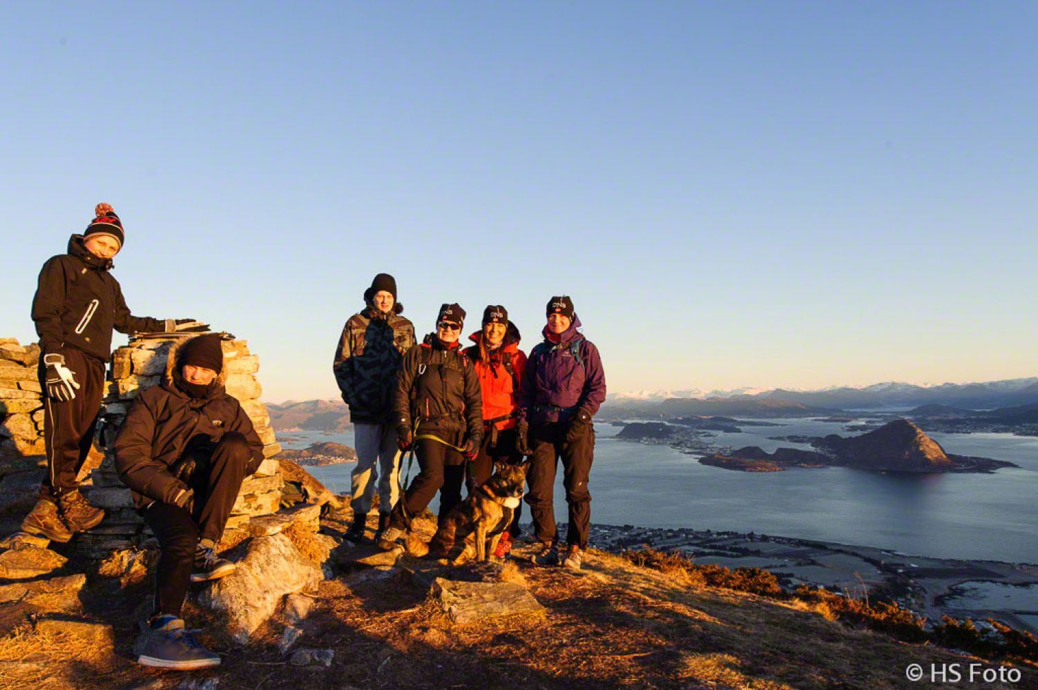
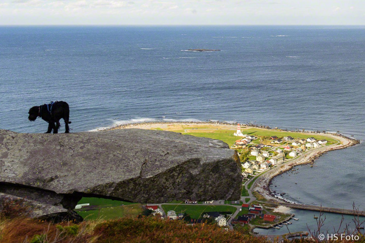
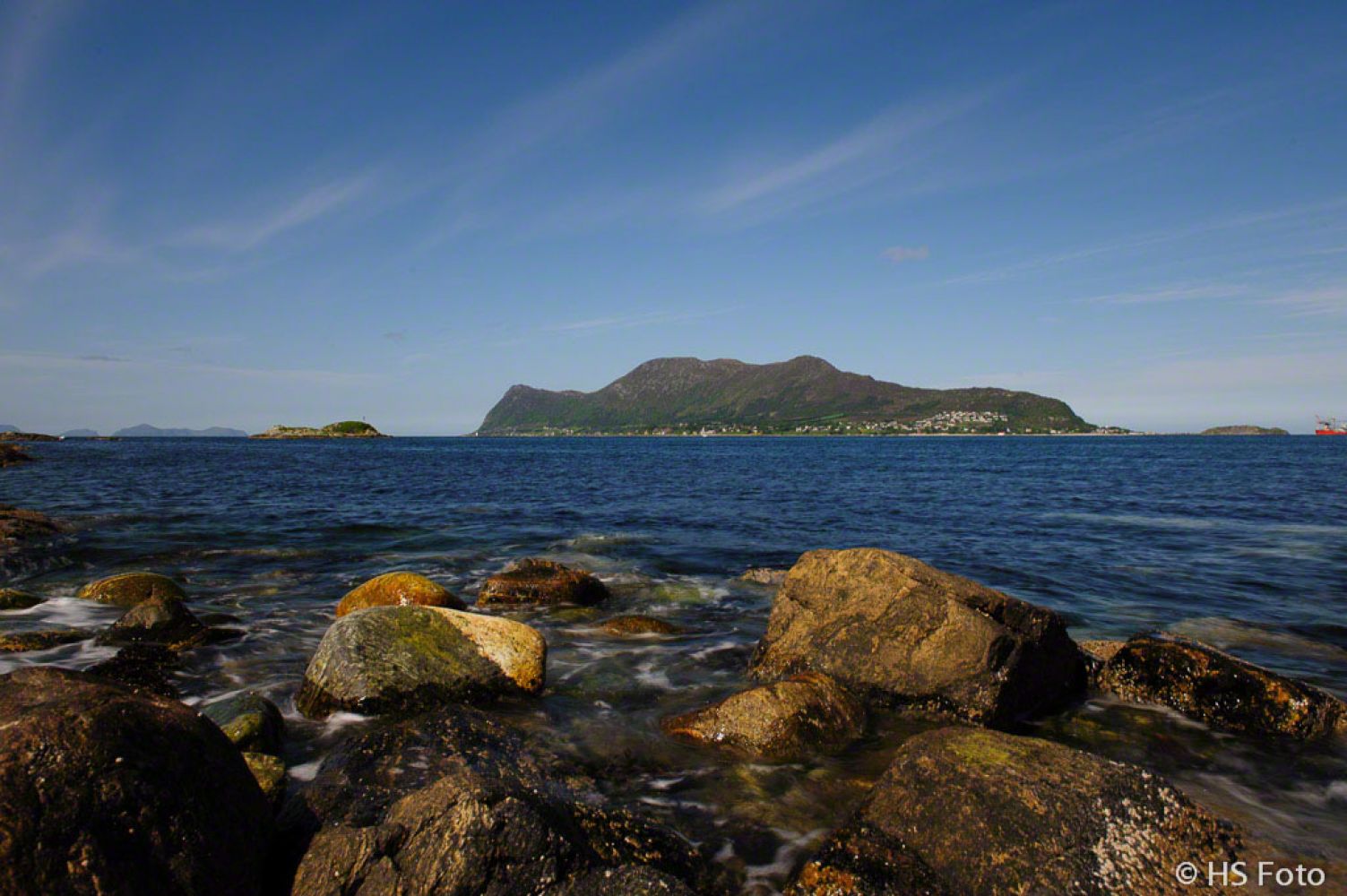
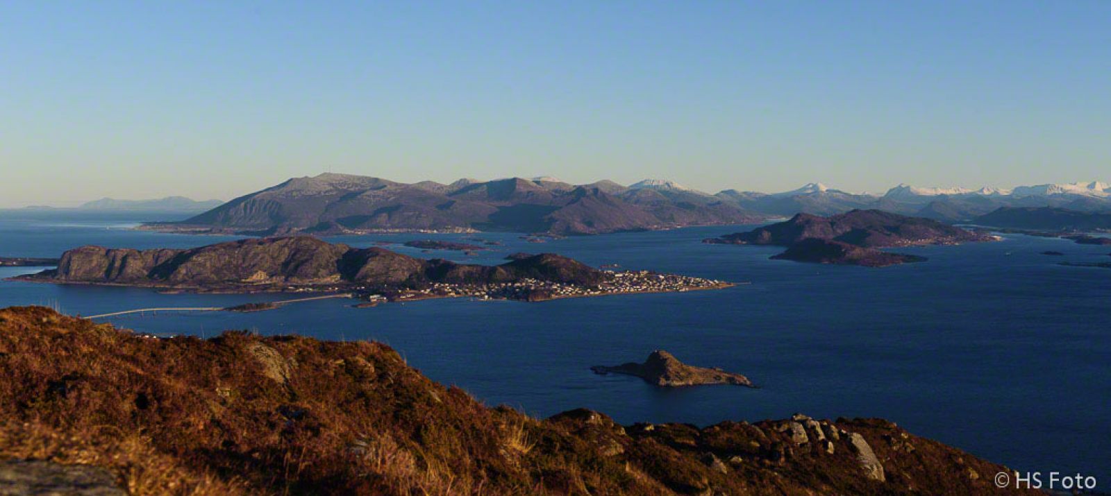
There are several possible starting points for this trail, including as Alnes, Gjuv and Valkvæ. This trail will take you from the school building up to the Valkvæegga mountain area, along a well defined path to Sløktind (436 m a.s.l.) and further to Mount Storhornet which is the destination of this trail. From here, you can turn around and walk the same way back, buy the trail continues further towards the west, down to Lake Alnesvatnet and around the lake, then via Sløktind again and back down to the school / car park.You will get to experience stunning views and atmospheric scenery both at the top Sløktind and Storhornet. The most fantastic view on Godøya is of course from the top of Storhornet — here you will get a 360-degree panorama!It is also recommended that you visit the War Memorial (please read the description below). The cave where John O. Roald lived is saved as a waypoint in the GPX-file.You will also get additional information about other waypoints along the way if you open them on your GPS.From the information board at the trail start:The island of Godøya offers plenty of tourist attractions for the young and the old. Wild coastal nature with magnificent mountain tops overlooking the roaring ocean will give you plenty of new experiences.Up at the mountain top you will see several hiking trails coming from different parts of the island, such as Alnes, Gjuv and Skulen. From Alnes and Gjuv you can walk along the old peat roads. Lake Alnesvatnet offers good fishing opportunities.If you want to go fishing in the lake, you can buy a fishing licence from the shop in Alnes.There is a nice hiking trail along the west side of the island between Alnes and Gjuv. The trail is an exciting exploration with potholes and caves along the way. Large areas of scree along with deep clefts make this trail quite challenging. You will get the most of your experience if you choose carefully where to follow the trail and where to turn back to the starting point.Coastal area in Alnes with the sand beach in Sandvika is a great place to experience in all kinds of weather.The new tunnel to Alnes is equipped with pedestrian and bicycle lanes, and the old road on the north side of the island has also been made into a walkway and a cycle path.War Memorial, the text from the information board:In the memory of:those who risked their owns lives to save the lives of others.Hiding place of O. Roald, April 1945.In this cave Johan O. Roald was hiding during the tragic April days in the spring of 1945.Johan and his brother Sverre were carrying out extensive illegal activities during the occupation period. Sverre was the main contact person of the resistance movement in the area, and the two brothers were organising transportation of refugees, offering shelter to agents and helping them hide, receiving large shipments of weapons in Erkna and Oksebåsen and transporting them in their motorboat to many pars of Sunnmøre.Together with the Torholm people and their friend Asbjørn Røsvik they managed to save Shetlands Larsen and his crew from torture and certain death. They also helped Joachim Rønneberg to get out of his hiding place in Tafjorden and move to Vigra and then to England.Sverre was responsible for new hiding places for commandoes with radio equipment whose task was to control German activities and plan various actions against German fortifications and supplies. He also administered a group of people monitoring over the waterway. There was a time when Erling Rønneberg lived in the attic of the Myra shop, later in the Myra boathouse in Geilevikane and then on board of “Joffre”. On April 19, 1945 Sverre went to Ålesund with a secret letter he was going to send to the West and a radio in his pocket. There was an unexpected raid and Sverre was arrested. He managed to whisper to a man he met at the police station asking him to call Vigra and let them know that Sverre Roald was taken. Johan got the message. He and his sister cleaned the place, hid or burnt everything that could be dangerous or revealing. Johan asked a friend to cycle ahead of him towards Gjøsund to avoid meeting German soldiers on the way. From there, he went to Valderøya where he was advised to hide himself in the Trollkjelen cave on the west side of the island. He stayed there for two nights, but because he was freezing and nobody came to help, the next night he stole a four-oared boat and rowed to Godøya where he contacted Indolf Godøy, a merchant, postmaster and the main contact person of the resistance movement on Godøya. He was welcomed there and offered a temporary accommodation in the attic, but Johan rejected the offer because of the danger he would be causing to the hosts. He took some bedclothes and found shelter in a summer barn on the hillside above the garden of Ruth and Lars Støbakk. The night after, Indolf Godøy, Lars Støbakk, Ola Bjarne Godøy and Odd Godøy took with them their equipment and brought it to Johan’s hiding place. It was safe and convenient for Johan here, he was sleeping on a wooden bunk and had access to fresh running water in the cave. Lars used to come and visit Johan every other night bringing him food and sharing the latest news. The hillside could not hide him completely, and the German searchlights at Tueneset were regularly sweeping through the area around the hiding place. Johan was so afraid of being revealed that he used to hide his engagement ring in his pocket so that it wouldn’t blink in the light of the projectors.The German stranglehold was strengthening. On April 27 from his hillside Johan saw a German guard ship coming in to Geilevikane and a troop of soldiers quickly going to Myra to arrest Indolf. That night he asked Lars to find a boat and fishing equipment for him. He wanted to try to get inwards into the fjords. The next morning a typically dressed fisherman was rowing in his boat south of the Høgstein Lighthouse and fishing in the area. From there, he went south beneath Eltrane where he started fishing outside of Eltraskjeret right in front of the German look-out post, and then continued rowing further in, along the south side of Sula. He was rowing all day long and in the evening arrived to his relatives in Søvikdalen. Three days later Ruth Støbakk received the following letter:To Ruth Støbakk, Godøya: “The fish you sent me has been received. Thank you very much. If you have more fish to send, please send it to Ingebjørg Løseth, Borgund Procurement Committee, Keiser Wilhelmsgate 52.’ Best regards from Peter O Løseth, Søvikdal.John’s life was saved and stayed there until the end of the war.The memorial is erected in the memory of, and with the gratitude to, all the people who risked their own lives to accept and save others.Godøy Coastal MuseumTrollkjelen Cave:
http://www.geocaching.com/seek/cache_details.aspx?guid=cb6e0512-6a99-4bb6-8c21-060a436a09de
 Driving directions
 Route data