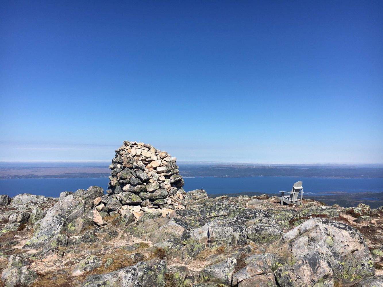
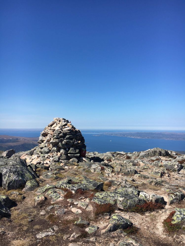
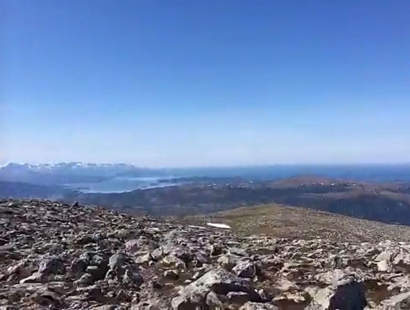
At the top of Storfonna you will get a panoramic view both inland and outwards to the Trondheimsleia strait. The trail goes above the tree line and there are stone blocks closer to the top of the mountain.
Route description
The trail starts in Litlfonna and covers slightly ascending terrain above the tree line. There are a lot of stones closer to the top.
Arrival and parking
Drive in the direction of Kjørsvikbugen, passing Skardsøya, to Nordlandet. Turn off at the road sign to Litlfonna.
Park your car along the road to Litlfonna. This is a toll road, please pay at the start. Payment by cash or with the Vipps app.

 Driving directions
 Route data