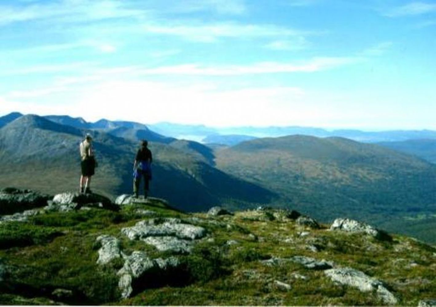
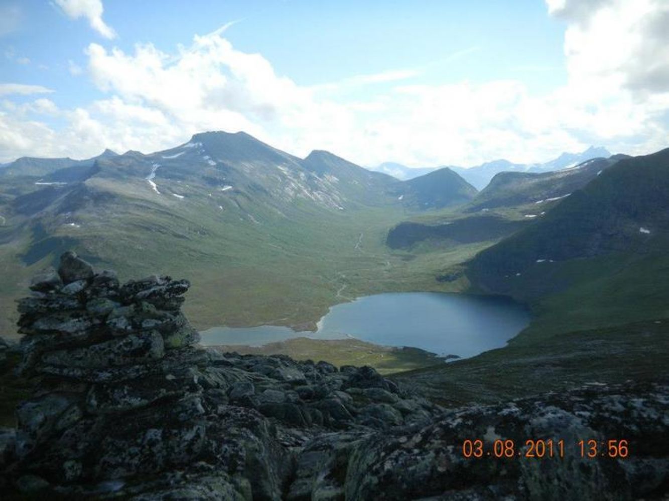
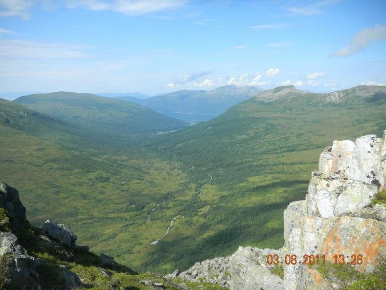
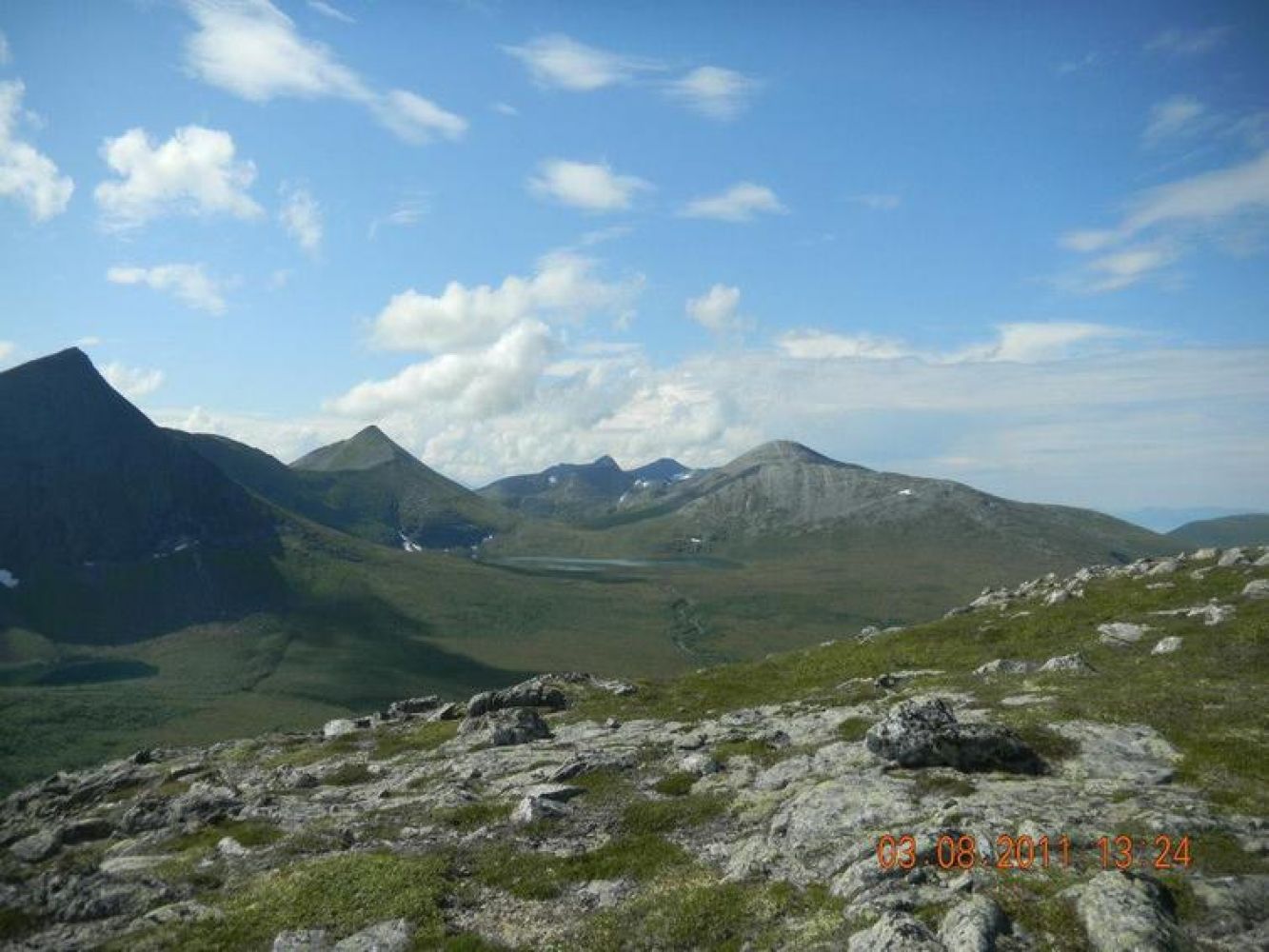
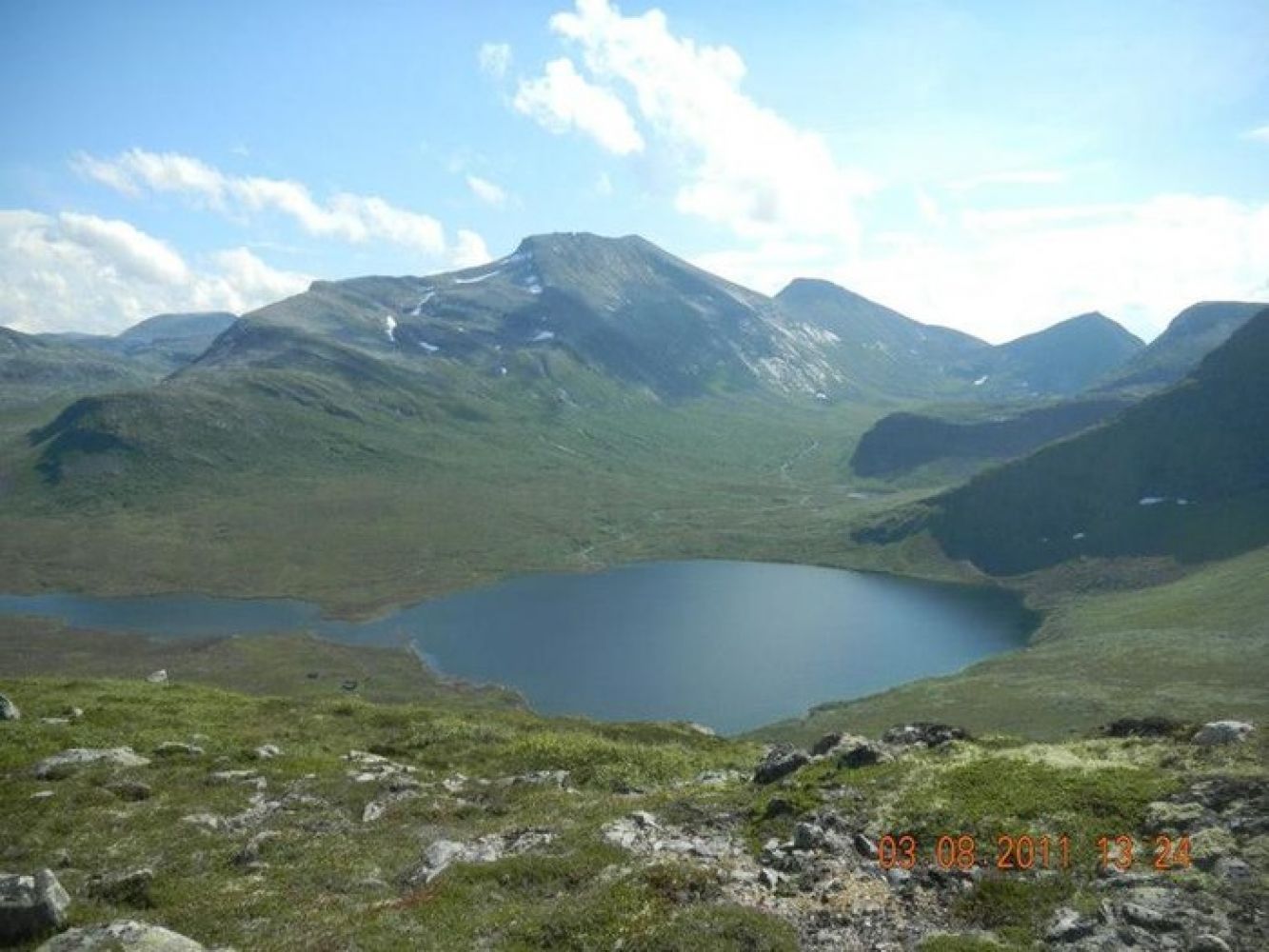
Drive from Mittet to Dale and continue further to Skrokken following the toll road for 5 km. From there, follow a clearly waymarked path (Måsvassbu) up to Måsskardet. Then go north along the ridge until you reach the top. Alternatively, you can go right up the hill above Skrokken in the direction of Hardskadet and then climb up the northern side of the mountain. On your way up to the mountain cleft, you will partly follow a path and partly walk through open marshy terrain. The third option is to walk up the so called “Bjennastien” path which is a deep furrow that climbs up the western side of the mountain. You can also make this walk into a looped trail and combine it with an overnight stay at the Måsvassbu cabin maintained by the Norwegian Tourist Association. Source: romsdal.com

 Driving directions
 Route data