Storebøra and Lisjebøra, route 15
Vanylven
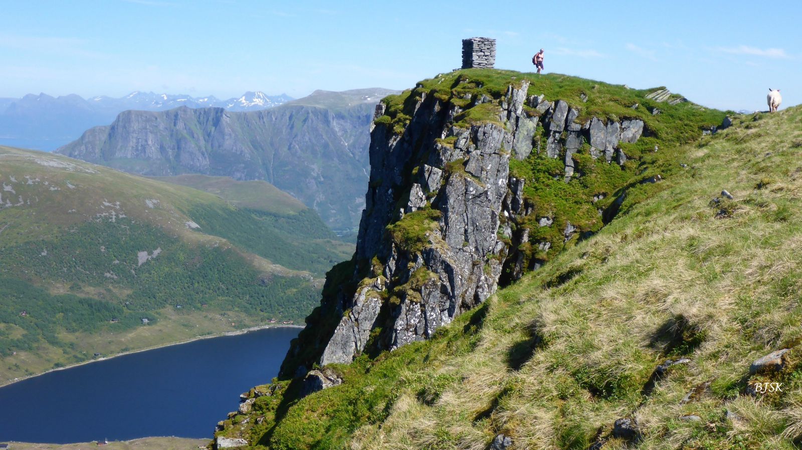
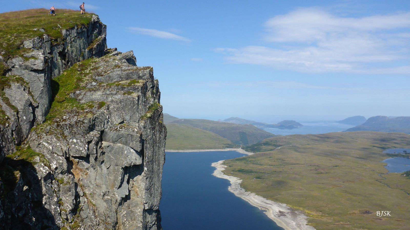
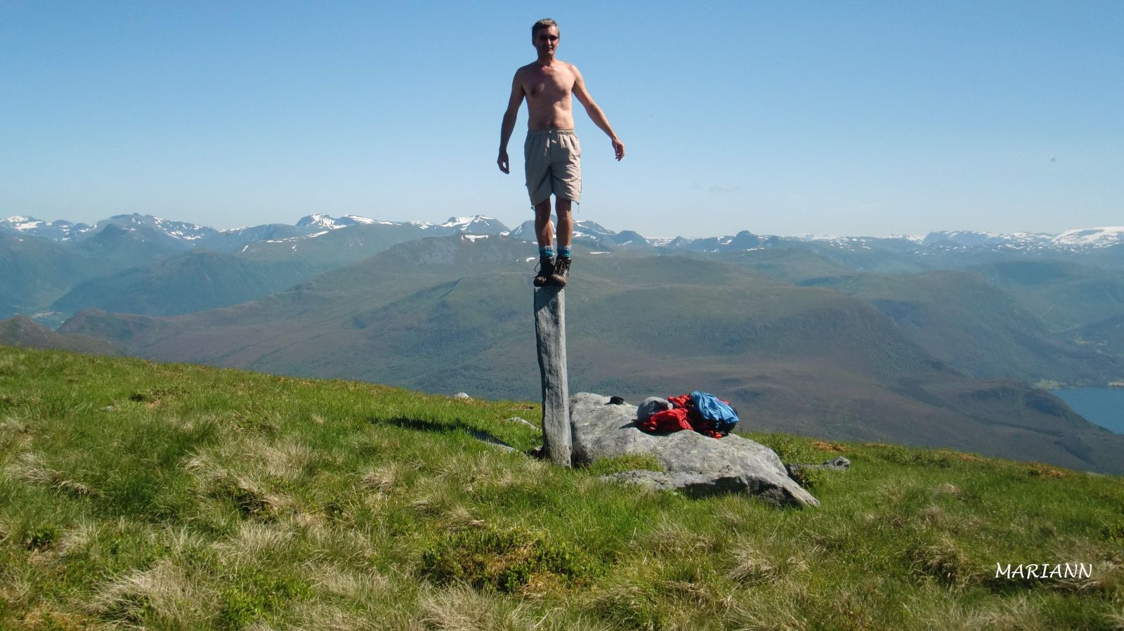
Storebøra and Lisjebøra are two mountaintops on the southern side of Lake Børevatnet. Their northern side goes steeply down into the lake.For the most spectacular views, walk up along the eastern side of Lisjebøra first, and you will see how steep the northern mountainside actually is. Since these are the highest mountains on the peninsula north of Syvdseidet, you will get a fantastic view in any direction. There is a fitness trail checkpoint on top of Storebøra.
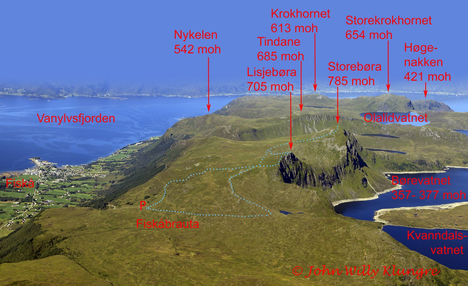
The starting point of the trail is Fiskåbrauta. Follow the sign for Storebøra by walking up west past a cabin and then turning up north past the stone walls at Blåsenborg. Up at Blåsenborg, there is a place that was hit by lightning twice in recent years. This area lies 100 m west of the path and is marked with a large lightning sign. The path continues further over the marshy area towards Lisjebøra. After the marsh, you will come to an intersection where you need to follow the sign straight ahead to Lisjebøra. Come up to the eastern side of the mountain and follow the edge up to the top. Please use caution since the downward slope is very steep. Once you have reached the top, walk down along the western side of the mountain and then follow the path that leads up to Storebøra. On your way down from Storebøra, you do not need to go via Lisjebøra again. When you come to the intersection where you took the path up to Lisjebøra, you can either follow the path back to Fiskåbrauta or go straight ahead to a large cairn and follow the ridge down to Kvannskaret. Once you are down by Kvannskaret, turn right and follow the path past Kirkjesteinane and down to Fiskåbrauta. This way, you will do an eight-shaped loop trail.
Turn off from FV61 in the direction of Fiskå and follow FV2 for about 800 m. Turn right at the junction and drive alond the municipal road for about 950 m. Turn left up a toll road and follow it until you reach Fiskåbrauta at the end of the toll road after about 2.2 km. Park your car at the large fenced-in car park on Fiskåbrauta. Toll road.
Duration
2 t. 30 min.

Sesong
Spring, Summer, Autumn
Signage
Both signed and marked
| Surface type |
Distance |
| Sti |
6,2 |
The people who live in Hallebygda on Gurskøya Island have a clear view of the northern wall of Storebøra. The snow usually remains here until late spring or early summer. The shape of the snow resembles a figure of a man. The locals came up with a name for this “man”, Børemannen, and according to an old local saying, nobody gets to swim in the sea before Børemannen melts away.
På tur i Vanylven (Eng. Hiking in Vanylven) M711 1119 III, sunnmorskart.no
 Driving directions
 Route data
GeoJSON