Storåsen in Stokkdalen
Gjemnes
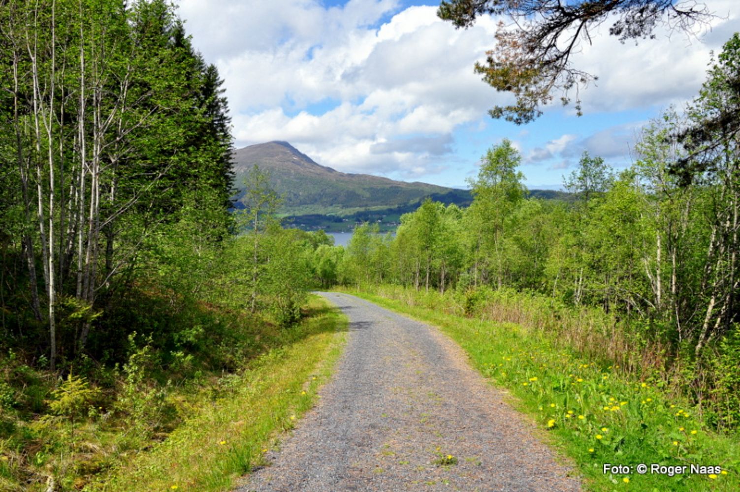
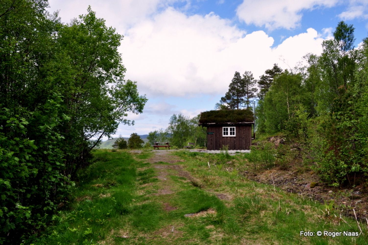
This lovely family trail will take you up to the “gapahuk” mountain shelter in Storåsen which is in the Stokkdalen valley. The trail is stroller-friendly.
The rail follows a well prepared and flat gravel road up the Stokkdalen valley. The final 600 metres of the road are a bit uneven with a few stones sticking out of the ground. The road will take you all the way up to the “gapahuk”. If you feel strong enough, you could continue walking further up to the top of Mount Stokknoken. In that case you have to walk a few metres back following the same way that brought you here and then take the left turn at the sign.
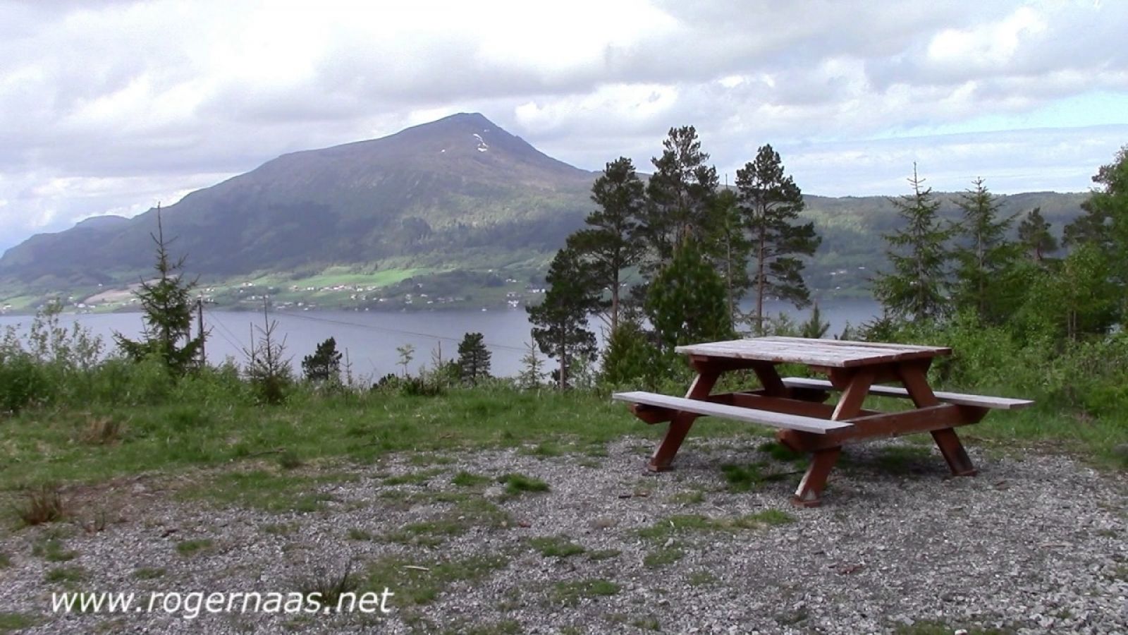
The endpoint of this trail is the “gapahuk” mountain shelter in Storåsen, Stokkdalen valley. You will find a trail postbox and a journal in the “gapahuk”.
The trail starts from the forest road just to the east of Maihaugen in Storlandet, Gjemnes municipality.
From the Gjemnessund Bridge follow County Road FV279 in the direction of Eide. After about 6.2 km down this road you will see a forest road on your left-hand side going into the Stokkdalen valley. The forest road is marked with the signs for Stokknoken and Storåsen, and there is a car park down by the boom gate next to the county road.
The distance from Eide to the forest road in Stokkdalen via County Road FV279 is about 15.4 km.
Park your car by the boom gate next to County Road FV279.
Duration
1 t. 25 min.

Sesong
Spring, Summer, Autumn
| Surface type |
Distance |
| Grus |
1,5 |
| Sti |
0,5 |
Norge map series, Kristiansund.
 Driving directions
 Route data
GeoJSON