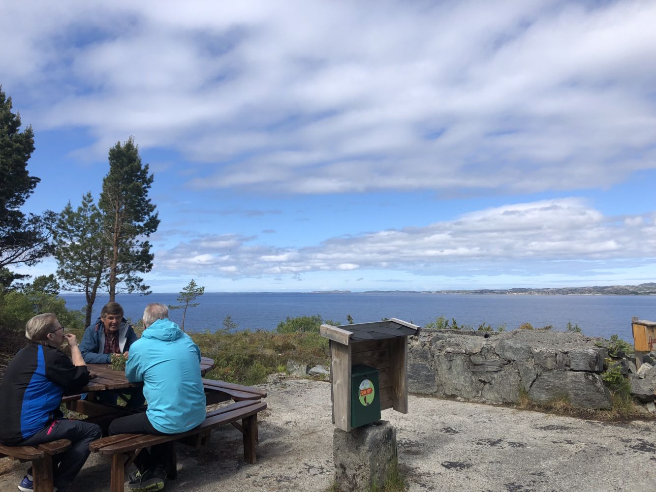
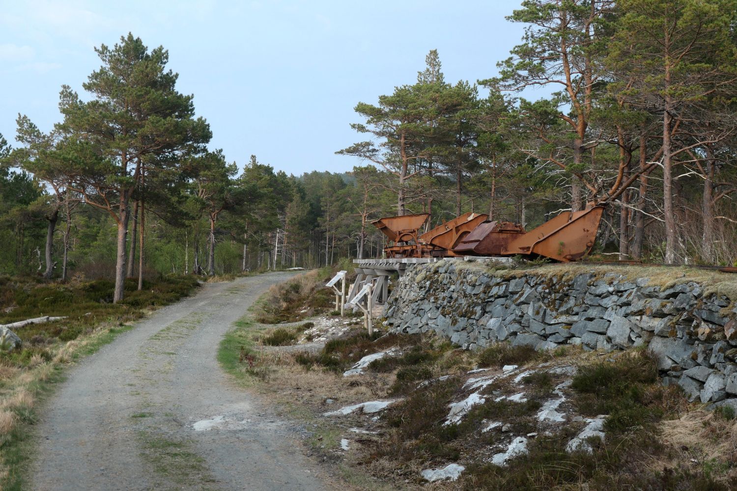
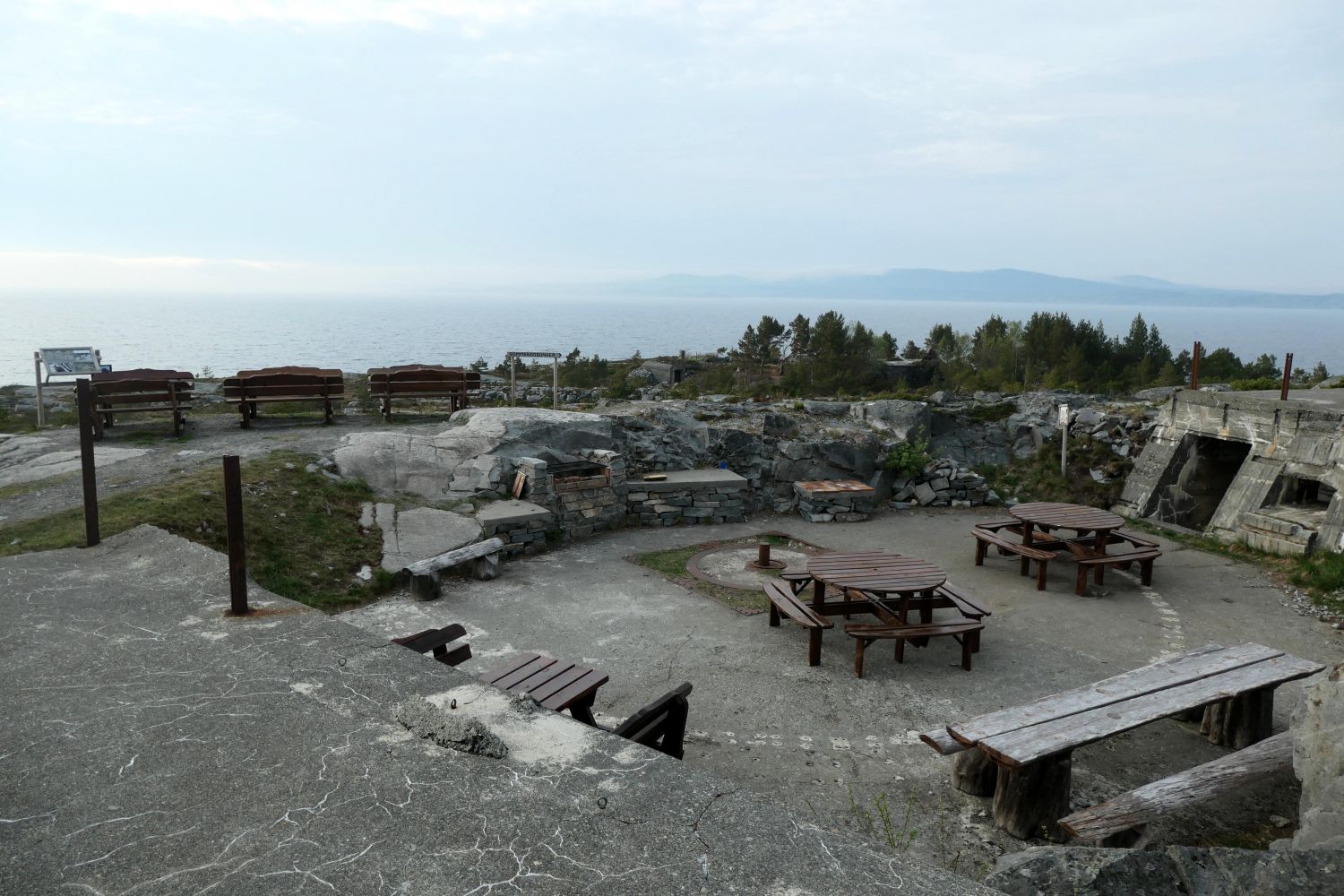
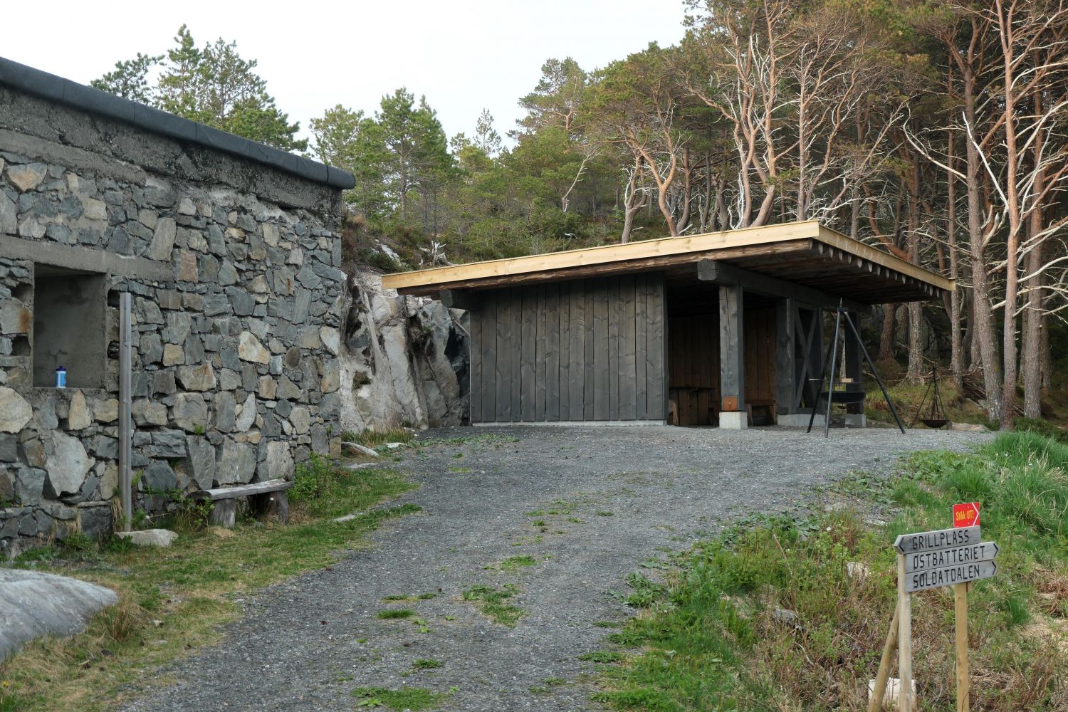
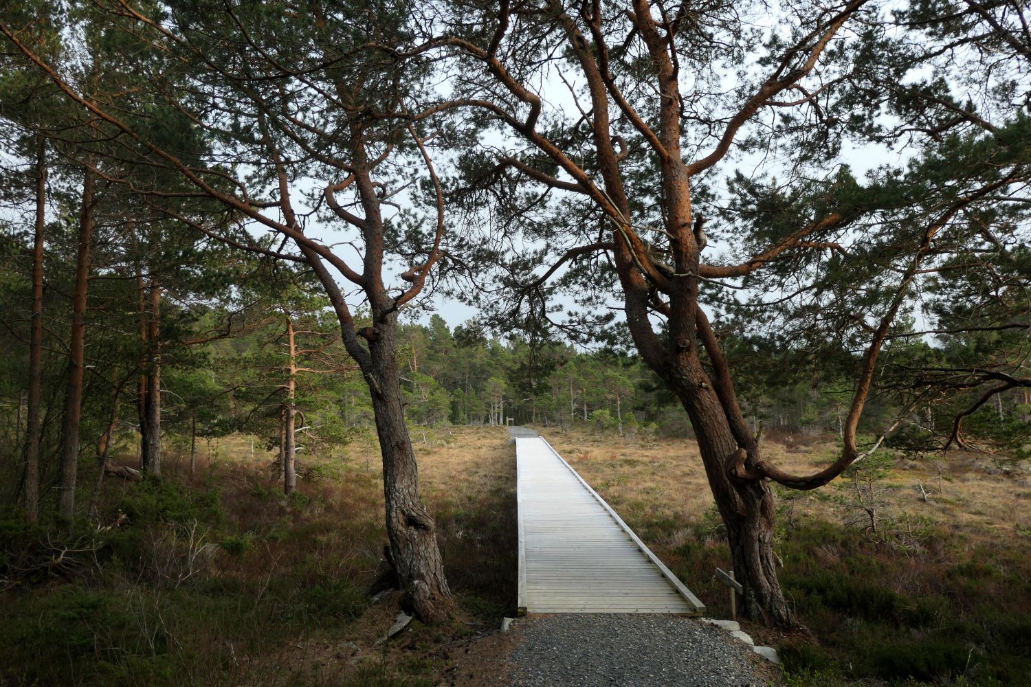
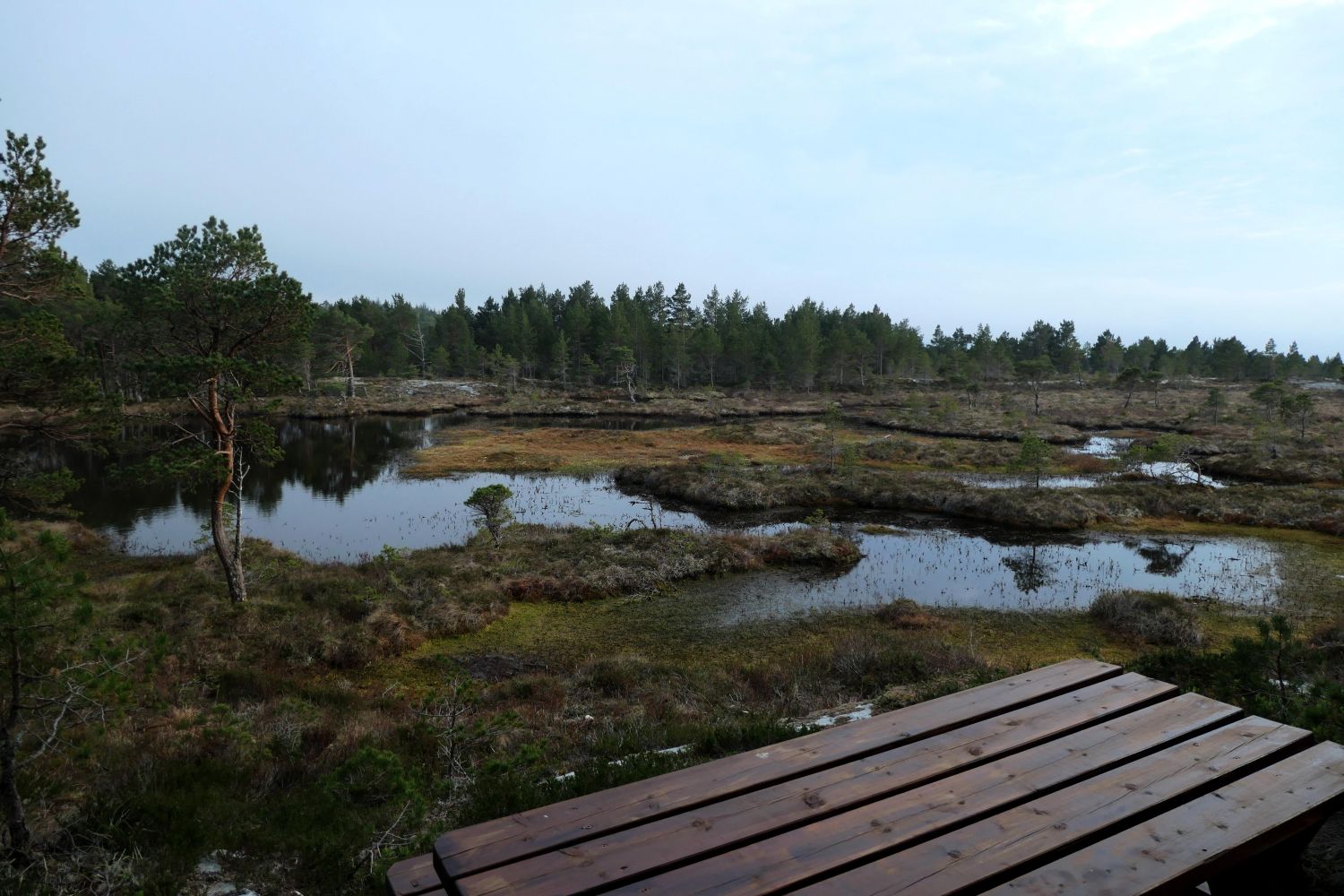
The trail covers an area where the Germans built their fortifications during World War II. You will see a number of information boards along the path.At the Western Battery, near the gun emplacements there is a barbecue place. There is also a large “gapahuk” mountain shelter in the area with the possibility to barbecue.The place is strategically located with a view towards the Trondheimsleia strait and the islands of Hitra and Smøla. Large sections of the trail follow a former railway track which was built by the Germans during the war. The path ends at the Eastern Battery where another German gun battery was located.
Route description
The trail covers gentle terrain. It is stroller-friendly and does not involve much climbing. Along the way you can also take a number of detours for greater experience.
Eastern Battery
Access and parking
At the designated area in Finset / at the start of the trail

 Driving directions
 Route data