Steinsøysundet to Hopen
Smøla
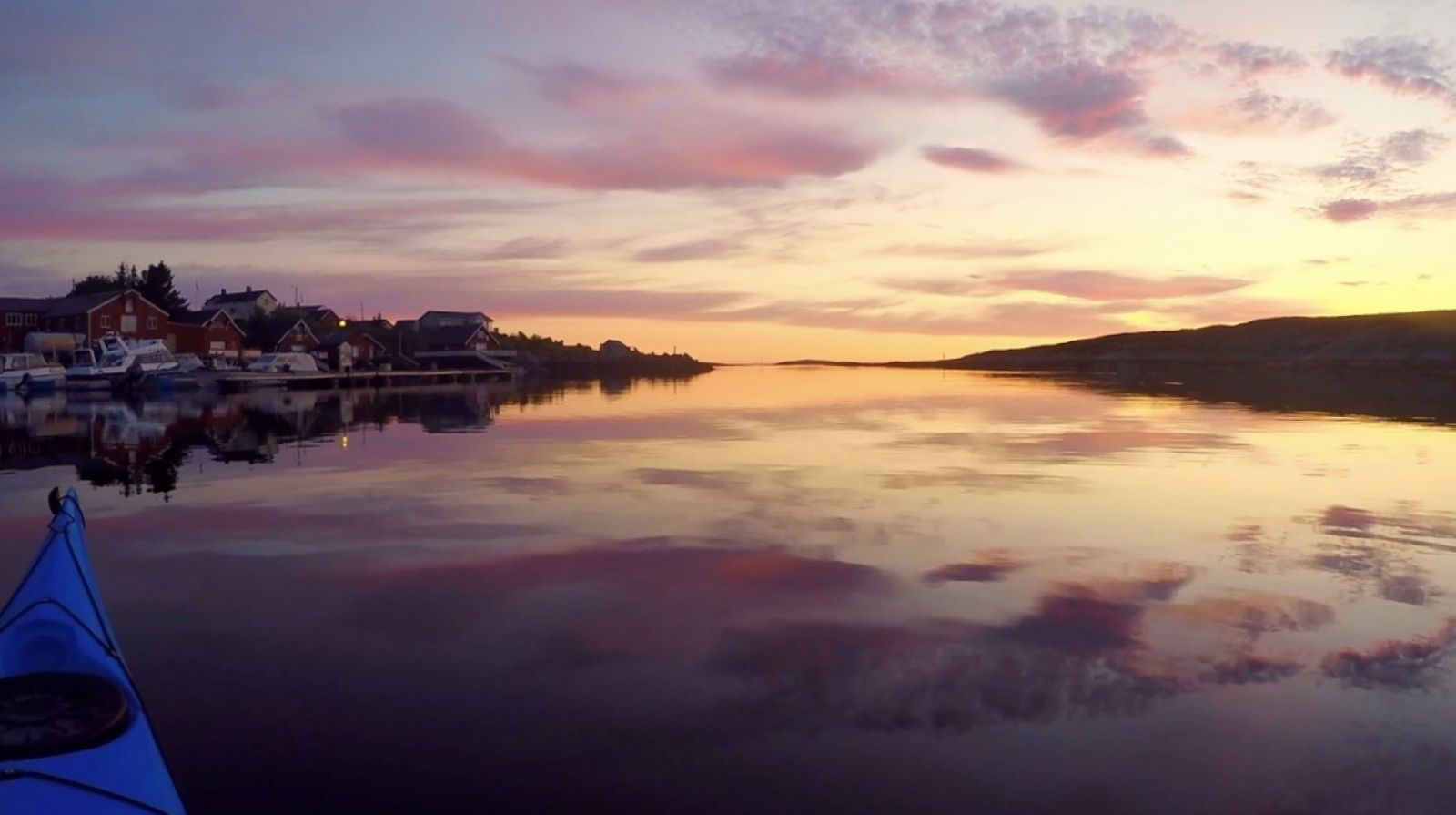
Sheltered route with several small islands and rich wildlife. There are often whitecap waves on the horizon, accompanied by the powerful roar of the sea. When paddling during the summer at sunset, you'll be treated to a stunning colour palette across both the sky and sea.
This route is from east to west, but it can also be done from west to east. Let the winds determine the direction of your paddling route. The route is intended to be followed along the shoreline as there are fewer waves and more wildlife. Keep an eye out for otters and eagles in the area. In the spring and summer there are also numerous terns and common eiders. You can paddle in a straight direction in sheltered waters towards the church in Hopen, as the church spire can serve as your navigation point.
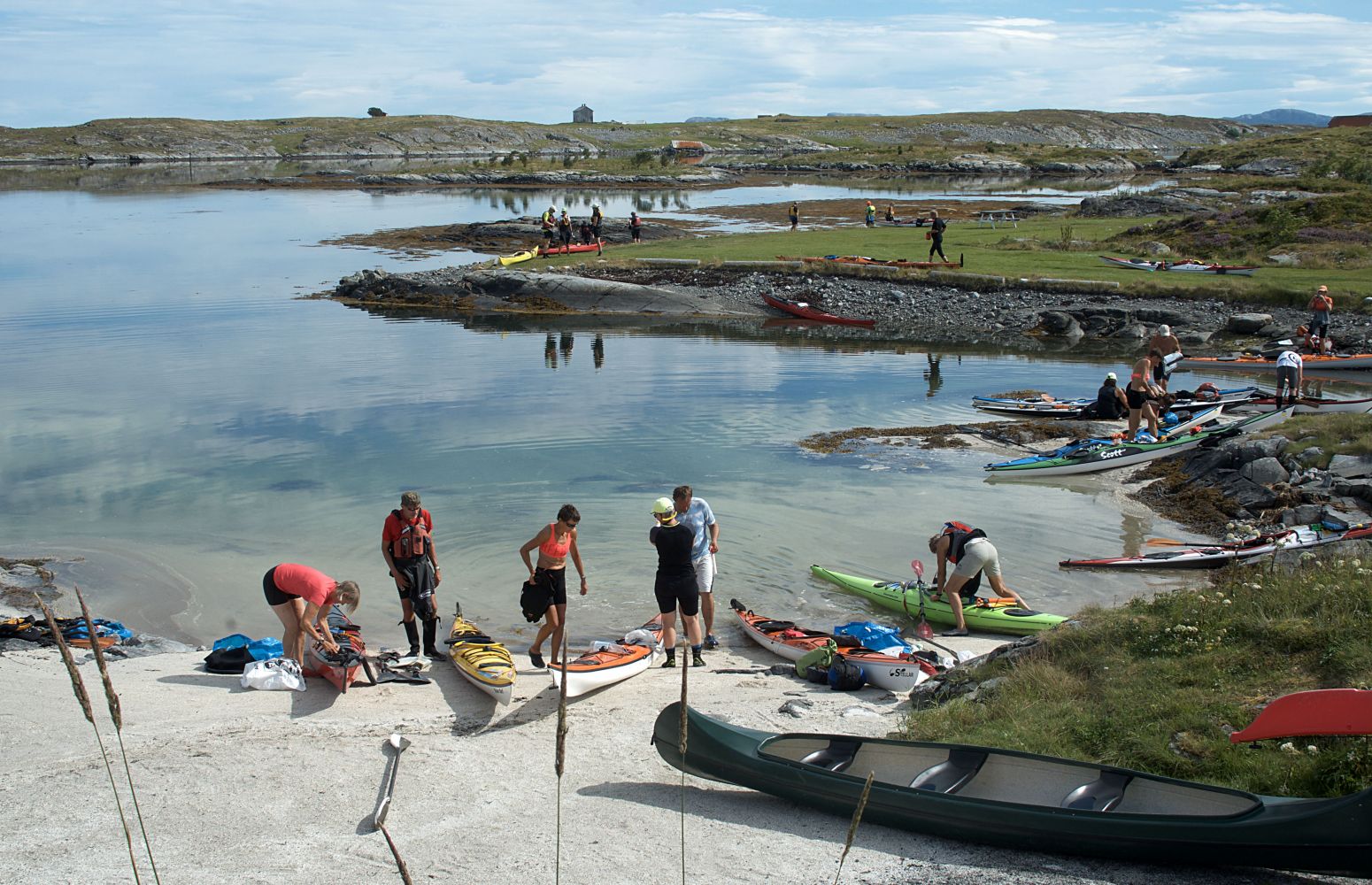
Start in the bay by Smøla Kajakk. Launch your kayak from the sandy beach. After passing the leisure boat harbour in Steinsøysundet, you will arrive at the mouth of the sound. This is an area of 200 metres where waves often form. Conditions are worse in northerly winds. It is best to pass at low tide. After this point, passage is safe and very sheltered.
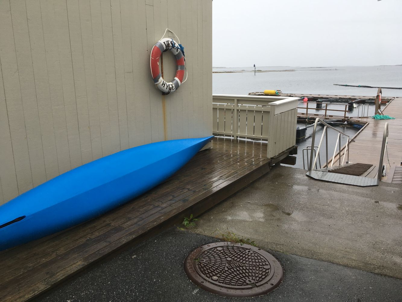
This stretch is protected by "invisible" land below the surface. You will pass several smaller islands on this route. Staying close to land will make it easier to navigate. You will also pass the Smøla Havfiskesenter where you can spend the night. Here you can pull up at the floating dock or the boat ramp. It's just a brief walk from here to the petrol station at Sætran.
It is possible to paddle around Hopaøya at high tide. At certain times there may be currents that pose an interesting challenge.
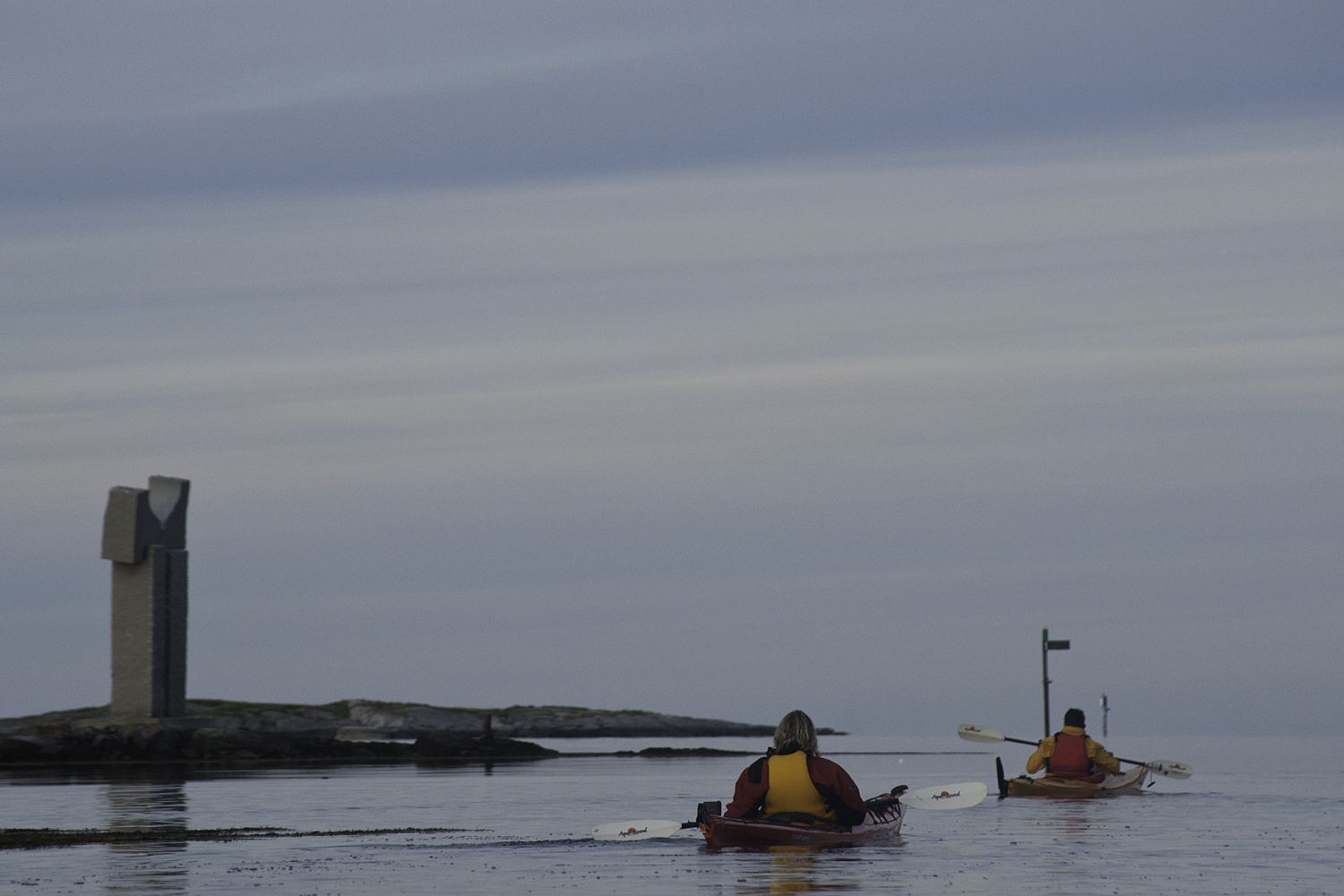
Go ashore at the floating dock at Hopen Brygge. You will know that you are at Hopen Brygge when you see a long black pipe, which functions as a shield against waves coming into the leisure boat harbour. If you pass a memorial to Oscar Tybring, you've paddled too far.
Smøla, with its 6000 islands, islets and reefs is a fantastic destination for paddlers. It is easy to go ashore on most of the islands, and you can paddle around them without even meeting anyone else. There is a good chance you'll encounter an eagle, since this area has the largest eagle population in the country.
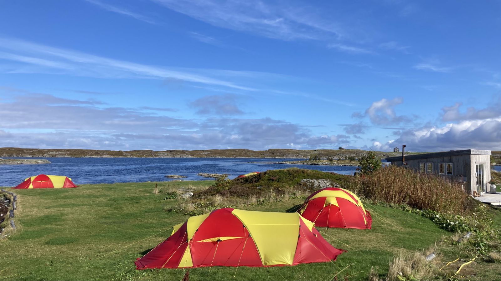
The Smøla Kajakk shop is located in Steinsøysundet. Kayaks can be launched from the sandy beach in their bay. Here there is parking, camping spots for tents, and a lavvo and lean-to. You can rent kayaks and equipment from the shop. They have an open café in summer and on weekends. Smøla Kajakk also offers helpful tips for your paddling trip. There is plenty of parking, and you can also find long-term parking at the leisure boat harbour in Steinsøysund.
Duration
1 t. 30 min.

Sesong
Spring, Summer, Autumn
There is a bus to Veiholmen and to the ferry on Edøy. Download the Fram app for schedules.
 Driving directions
 Route data
GeoJSON