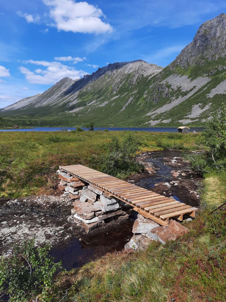
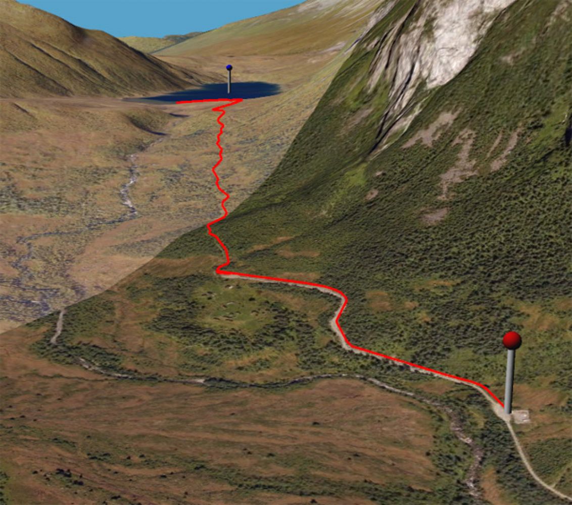
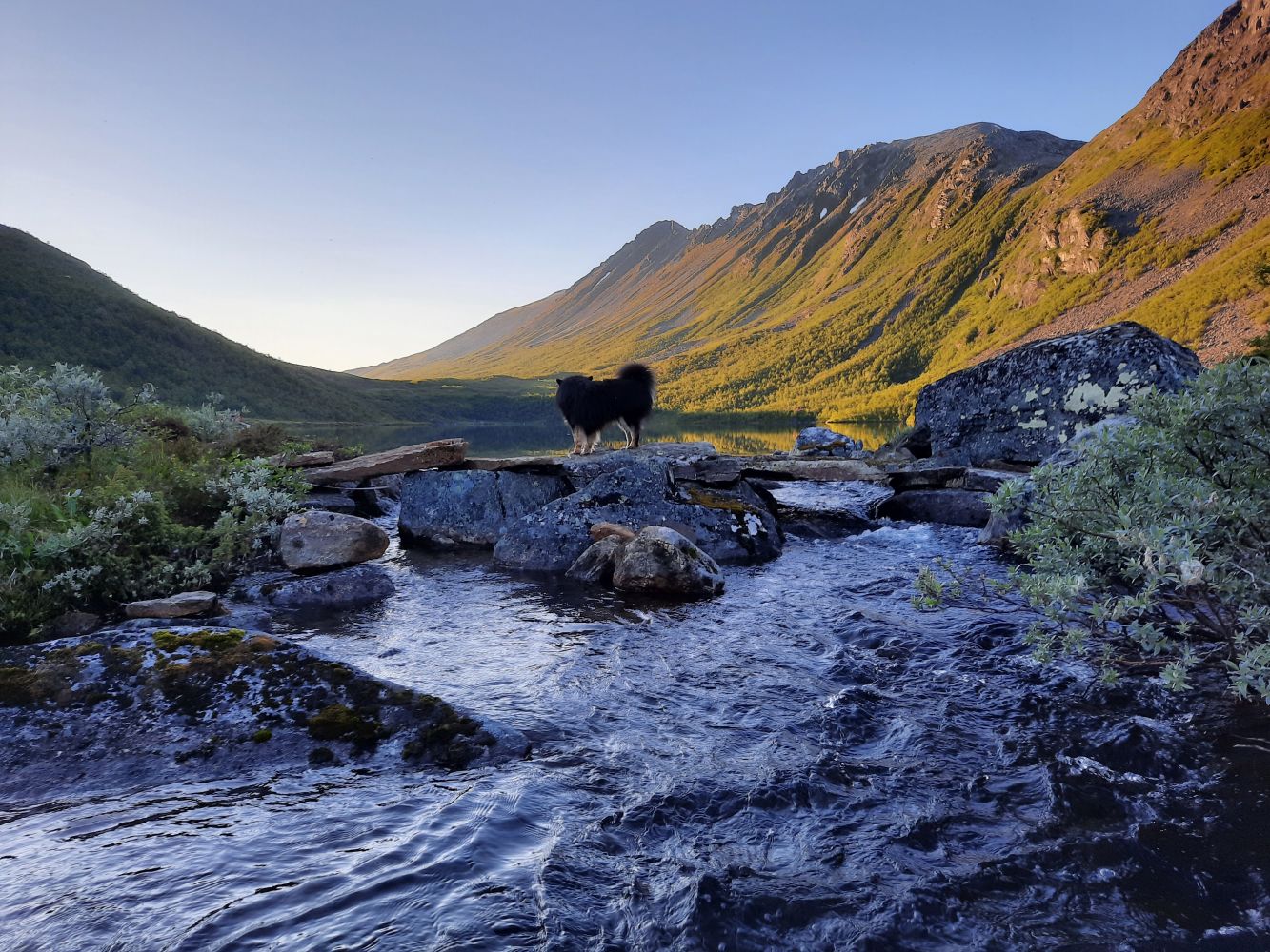
Leave your car at the car park before Venåssetra (toll road). Follow the gravel road until its end and turn up to the right after the turnaround. The first section of the path can be a bit wet. Continue following the path through the forest. Then walk down for a little while before you cross a small marsh and walk up again on the other side. There are shorter alternative paths, but they all lead to Lake Stavvatnet. Once you come to a small flat area before the lake, the path will take you down to the water. You will find a large stone with a trail postbox and a journal about 100 m before the lake.From here, you can either follow the same way back to the car park or continue walking further up to Lake Øspevatnet. Source:

 Driving directions
 Route data