Norsk

Stavneset

Averøy

The trail at a glance

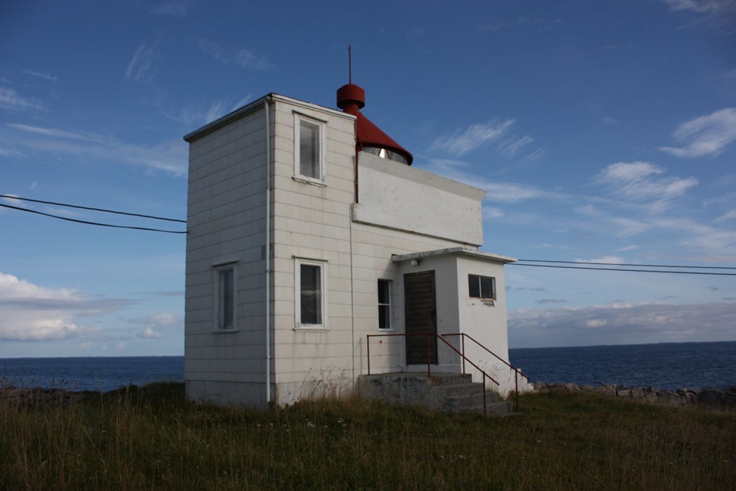
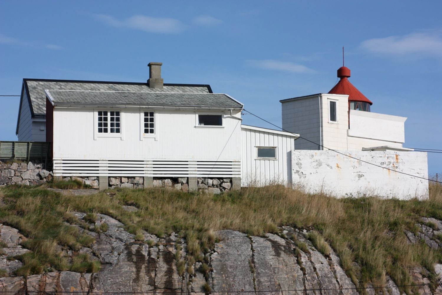
The Stavneset lighthouse is located on the northeast end of Averøya in Stavneset, about four kilometres by the sea from Kristiansund. The lighthouse was first lit on September 1, 1842. It was automated and demanned in 1976. The lighthouse has been used for the ships sailing in. It has the focal height of 21.7 meters above high tide and the range of 14.3 nautical miles. The Stavneset lighthouse station was both home to and a workplace for lighthouse keepers with their families in 134 years.The main house down below, the annex and the lighthouse lamp you see today appeared in 1953. The main house up by the lighthouse is from 1894. For more information, please go to http://www.stavneset.no

Route description

From the car park in front of the Lynghaug chapel go back the way you came here by car for about 350 metres. Take the turn to the right in the direction of Omnbukta. Look for the sign saying “Stavneset fyr” (“Stavneset lighthouse”). Follow the road from here. This is a private road. You might get an impression that you are in the middle of somebody's yard at this point, and in fact you are, but you should continue walking further. Once you are in Omnbukta, instead of walking down to the seaside follow the path that runs to the left right next to he fence of a house. Walk the path so that the fence is your left-hand side. From here, you cannot get lost. The path goes straight to Stavneset. Several tables and benches are set up along the path. Take a moment to sit down and enjoy the view of the ocean. Information about the Stavneset lighthouse in the Atlas of cultural sights: http://kulturminneatlas.avinet.no/object/dbarticle_preview.aspx?id=81Biological diversity: Coastal meadow and salt marsh. Please see http://dnweb12.dirnat.no/nbinnsyn/asp/faktaark.asp?iid=BN00013409.

Arrival and parking

The trail starts from the Lynghaug chapel. You can get here either by car, by bicycle or on foot. There are a few parking spaces for people with motion difficulties in Omnbukta. A way out to Futsetra starts from County Road 64 (Fv64) right next to the Atlantic Ocean Tunnel on the side of Averøy. Look for the sign for Øksenvågen. Drive for about 1.5 kilometres from County Road 64 (Fv64). You will then see the Lynghaug chapel on your right-hand side.

Park your car by the Lynghaug chapel. Free parking.
Hiking route
Green
Distance
2,07 km one way
Elevation
52 m
Duration
1 t. 10 min.
Sesong
Winter, Spring, Summer, Autumn
Highest Point
34 masl
Signage
Both signed and marked
Mobile coverage

Map route

Public transport

There is a bus connection to the Atlantic Ocean Tunnel. Please see http://www.177.no. From there, you can walk, run, cycle or get a lift from someone who is driving to Futsetra.

Other

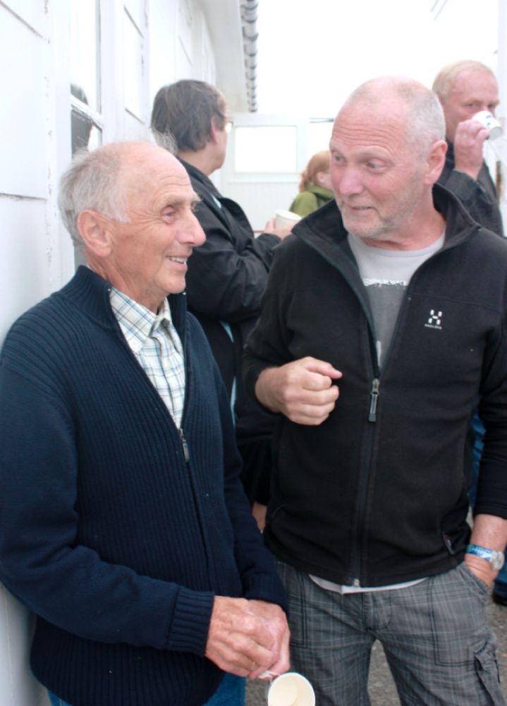
The Stavneset lighthouse is owned by the coastal administration, but operated by the Stavnesets Venner association (“Friends of Stavneset”). Contacts: Telephone: 48246149. Email: post@stavneset.no. The lighthouse is maintained and operated on a volunteer basis. Everyone can become a member of the association. The aim of the association is to make Stavneset an attractive tourist destination and a meeting place which is open to the general public. Coffee and waffles are served here during Easter holidays and on Sundays from May to October. Opening hours: 11–15. Incinerating toilet is available during the opening hours. A floating dock is set up here next to the boathouse. The dock is available for small boats from mid-May until the end of September. For more information please go to http://www.stavneset.no or visit our Facebook page. Stavneset has become a popular tourist destination and a meeting point. The number of hikers coming here has increased significantly. You can read more about the trail to Stavneset in Olsen and Flovikholm (2010): Your turn! Culture, nature, literature. – The main family trails in Nordmøre. (P. 14 et seq.), Undine AS

Map

Averøy municipality has issued their own map. Please see: http://www.averoy.kommune.no/Filnedlasting.aspx?MId1=600&FilId=1813
Driving directions

API endpoints

Route data GeoJSON