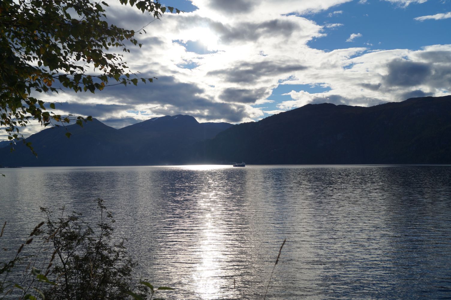
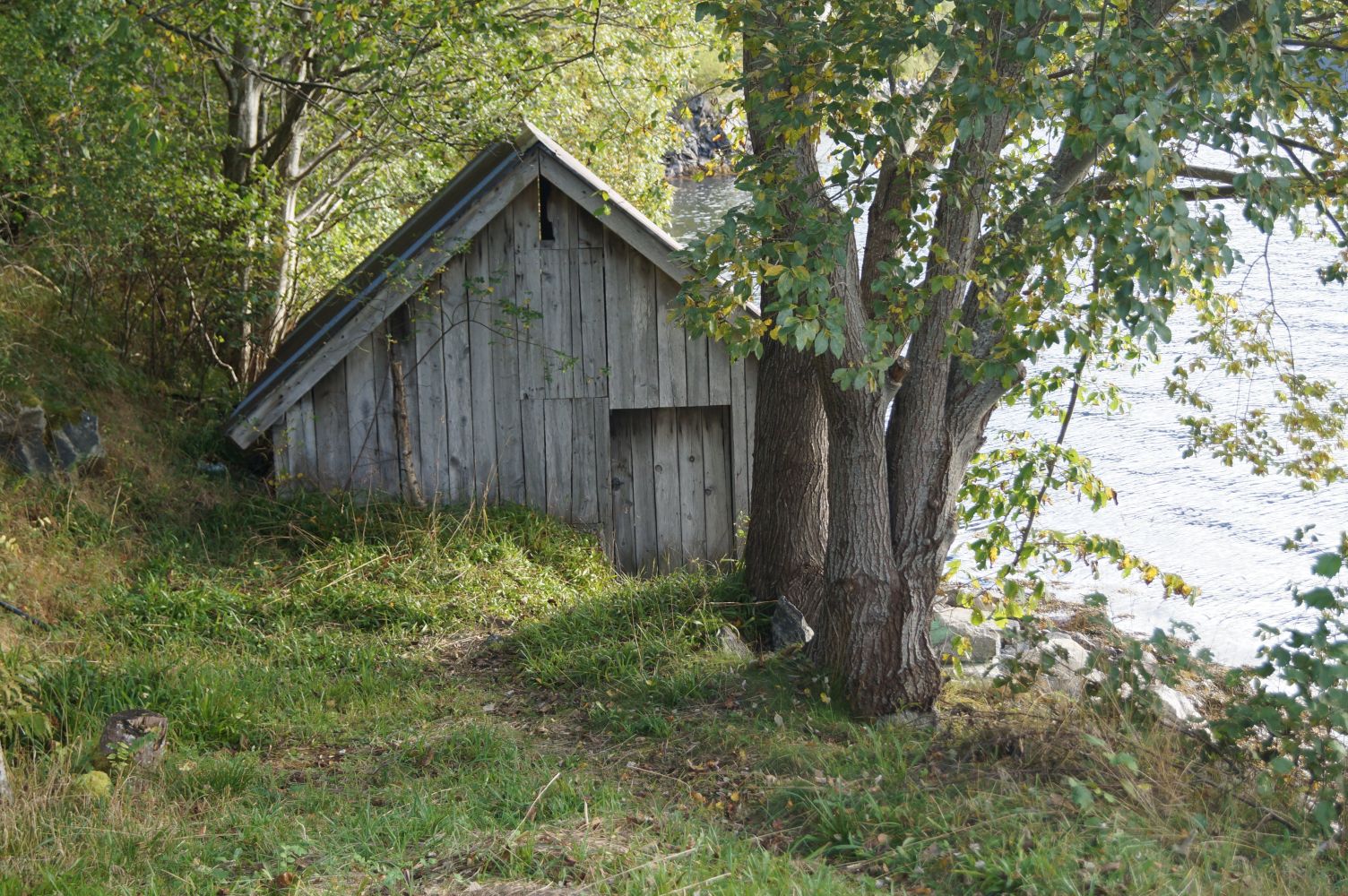
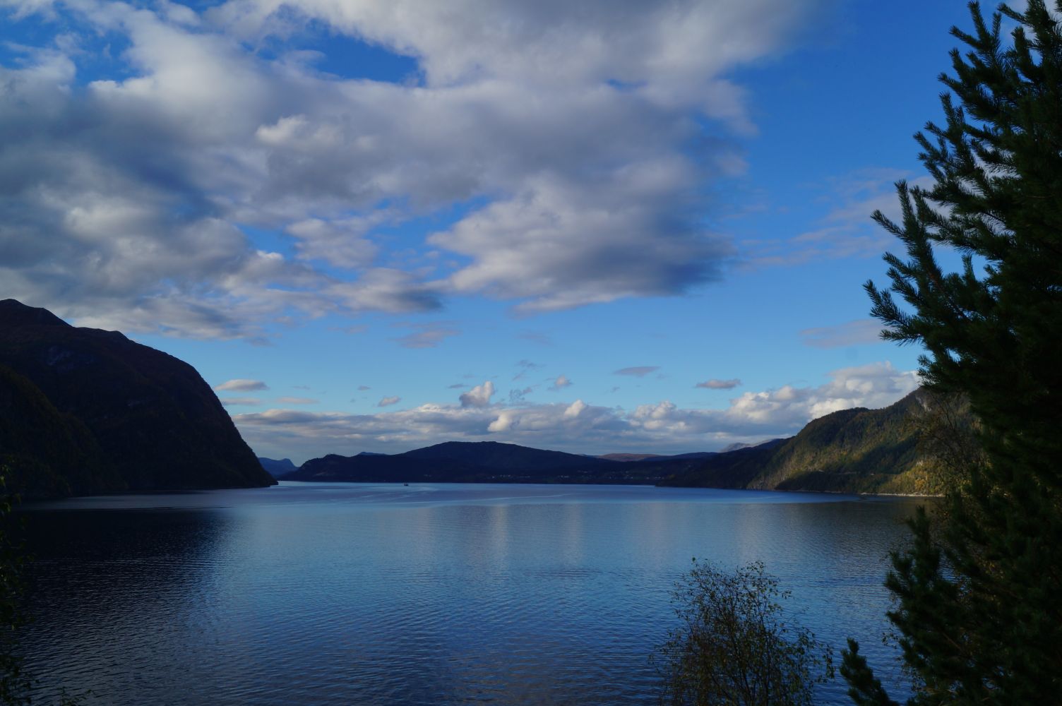
This is a nice walk along an asphalt road that offers a view of Storfjorden with mountains and the abandoned farms Skotet, Vidhammar and Korsedal on the other side of the fjord. You will find the trail postbox about half way through to Stamnesbugen. If you choose to continue walking to Stamnesbugen and the boathouse there, you will get to sit on the pier and enjoy the view of the sea, or go fishing from the rocks around you. Keep in mind that there is no safety barrier on some parts of the road. We do not recommend taking this walk in winter and spring, because of the danger of avalanches and rock slides.
The trail follows the old motor road between Dyrkorn and Stordal. Walk up the hill from the quay in Dyrkorn. Once you reach the junction, take the turn to the right in the direction of the Stordal Tunnel. Then turn left and walk along the old road that takes you over the tunnel section and further inwards. You will walk past two residential buildings and a farm. Keep walking straight ahead in the direction of Stamneset. The area is well maintained throughout the first section of the road. The final section is partly overgrown.
You can park your car east of the quay in Dyrkorn.
Duration
1 t. 5 min

Signage
Both signed and marked
| Surface type |
Distance |
| Asfalt |
1,72 |
You can follow the road further to Stordal, but in this case you will have to walk over a rock slide area.
Ørskogfjellet tourist map
 Driving directions
 Route data
GeoJSON