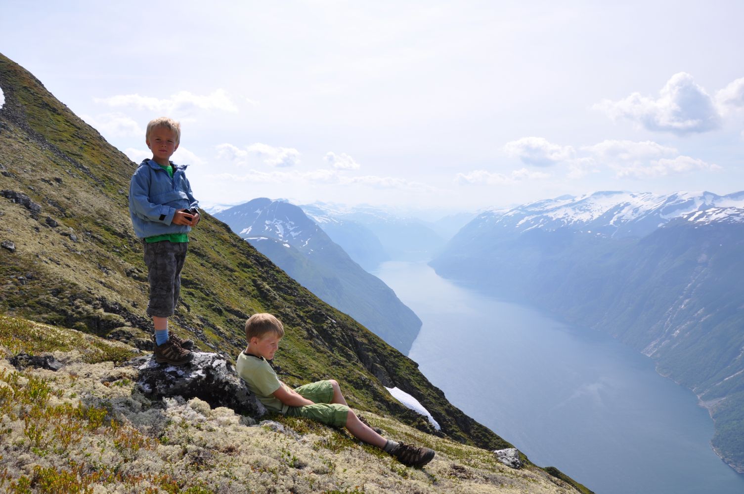
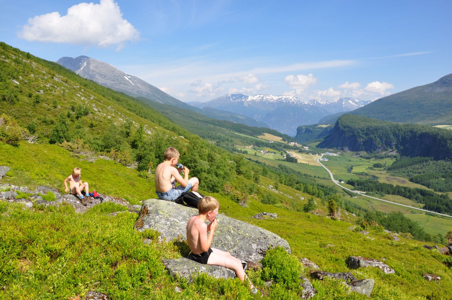
The trail to Solskaret runs through the heart of the world heritage site of the Geiranger Fjord with its surroundings. The destination of this trail lies on the edge of the mountain facing Sunnylven, and you will get to enjoy a fantastic view out there. From Solskaret, you will also have a view towards Åkneset, the biggest known geological hazard in Norway. The large mountain area threatens to erode into the fjord. In a worst-case scenario, this would cause a seismic sea wave reaching up to 80–100 altitude metres above the ground that would hit the towns of Hellesylt and Geiranger.The trail to Solskaret goes through diverse mountain terrain and is a great representation of several natural wonders which were the reason why the area was listed as a UNESCO World Heritage Site in 2005. The Skorene mountain range, which will be behind your back on your way up to the trail destination, is known for being the most distinctive mountain range within the world heritage site. Lake Svartevatnet and Lake Oaldsvatnet are wonderful detour opportunities you will have along the way. Both are great fishing lakes. As you look at the long valley leading up to Solskaret, you will notice how the glacier has shaped the ridges and lowlands, and polished the steep mountain walls. The first part of the trail follows the telephone posts which were set up by volunteers as part of the telephone line to the village of Oaldsbygda in 1930.The trail destination lies at the height of 1245 m a.s.l., so it can be quite chilly here even on a summer day.
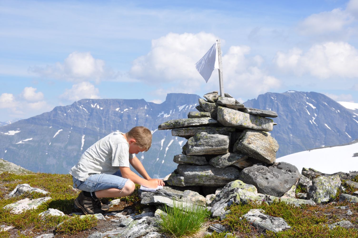
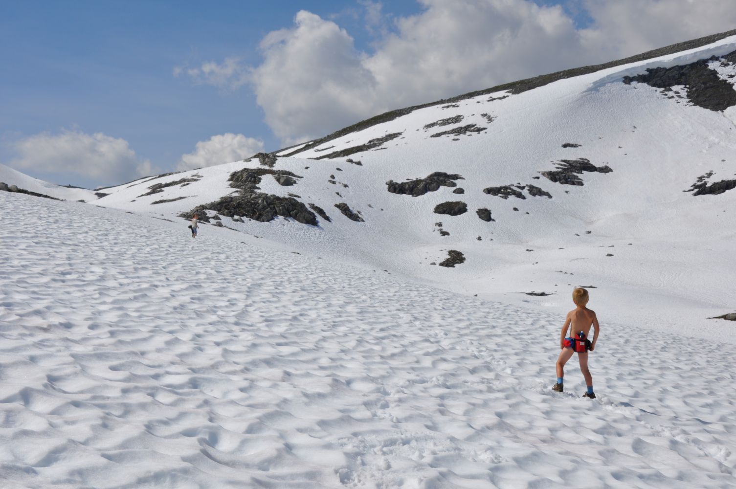
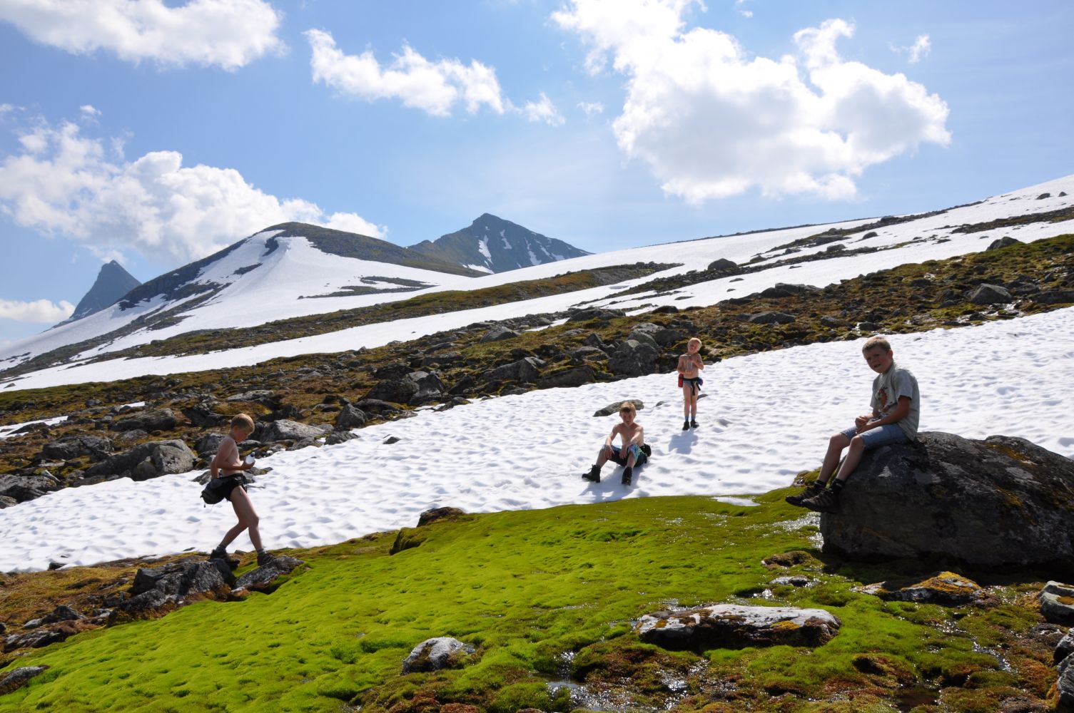
The trail starts from the rest area in Eide near Lake Eidsvatnet. It is convenient to park your car here, and the county road goes right past the area. Before you start walking, you can stop by the information board with aerial photos which show the hiking route. Start walking south along the lake before the clear path swings up/westwards near some cabins. Carry on following the path until you reach a local trail checkpoint in Eidsheia. This is the steepest part of the trail, and the locals usually spend about an hour on their way up here. Continue walking straight ahead from Eidsheia following the ridge westwards. After a while, you will come to the point where the climbing up to Lake Oaldsvatnet begins. The terrain becomes rocky here. At this point, the path divides in two. Walk further along the valley, not up towards Lake Oaldsvatnet. The next section of the trail passes some scree areas. The snow lies here for the majority of the summer. The route is marked with the red letter “V”, but there is no clear path here. After a while, you will walk along the lowest part of the valley, and the path will drift towards Solskaret at the furthest point in the valley. The trail destination is marked with a cairn.
Th trail starts from the rest area by Lake Eidsvatnet in Eidsdal. The starting point of the trail lies about 10 kilometres away from the centre of Eidsdal in the direction of Geiranger.
You can park your car next to the rest area by Lake Eidsvatnet. A toilet building is available here during summer months (Norwegian Public Roads Administration).
Duration
4 t. 20 min.

Signage
Both signed and marked
| Surface type |
Distance |
| Sti |
5 |
Please search on
http://www.frammr.no
The regular bus route goes through the starting point of the trail, but only a few times a day.
The bus shelter is located on the other side of the river from the rest area.
For a looped trail, you can go back via Mount Nonshornet: From Solskaret, walk northwest across the terrain. There will be some climbing at first. Walk further along the hilltop until you get a view down towards the ridge of Mount Nonshornet. Continue further (probably down a snowfield) until you start following the wide mountain ridge westwards to the top where you will get a beautiful view of the Eidsdalen valley. This section is not waymarked. The waymarked route will lead you from the top down to Eidsheia. This route takes you to the ridge with telephone posts slightly west of the local trail checkpoint in Eidsheia. Note that you will have to cross a river before you come back onto the Solskaret route. It is hardly ever problematic to cross the river here because of high water.
Norddal municipality tourist map 1:50.000 Stranda municipality tourist map 1:50.000 Tafjordfjella tourist map 1:50.000
 Driving directions
 Route data
GeoJSON