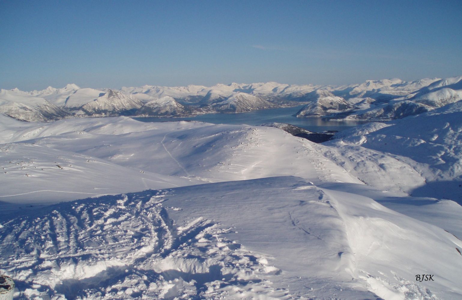
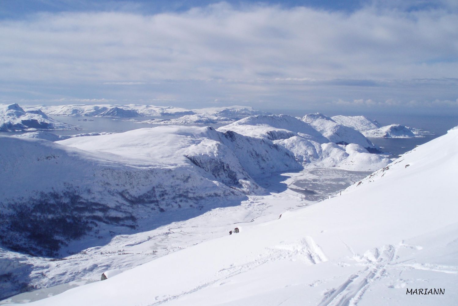
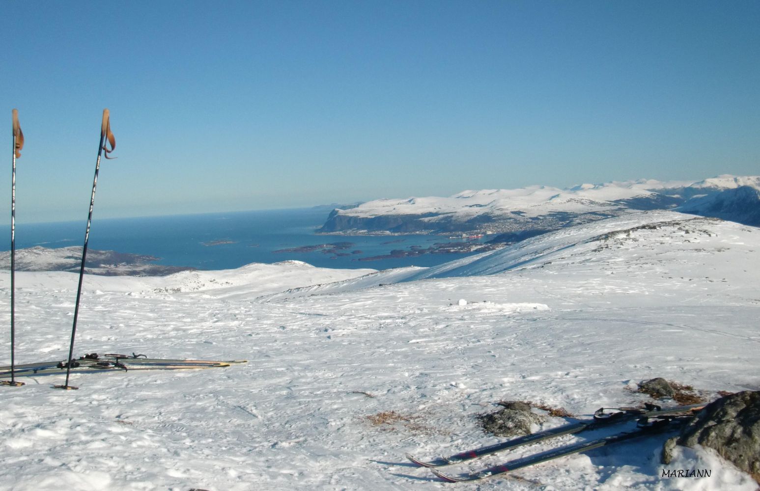
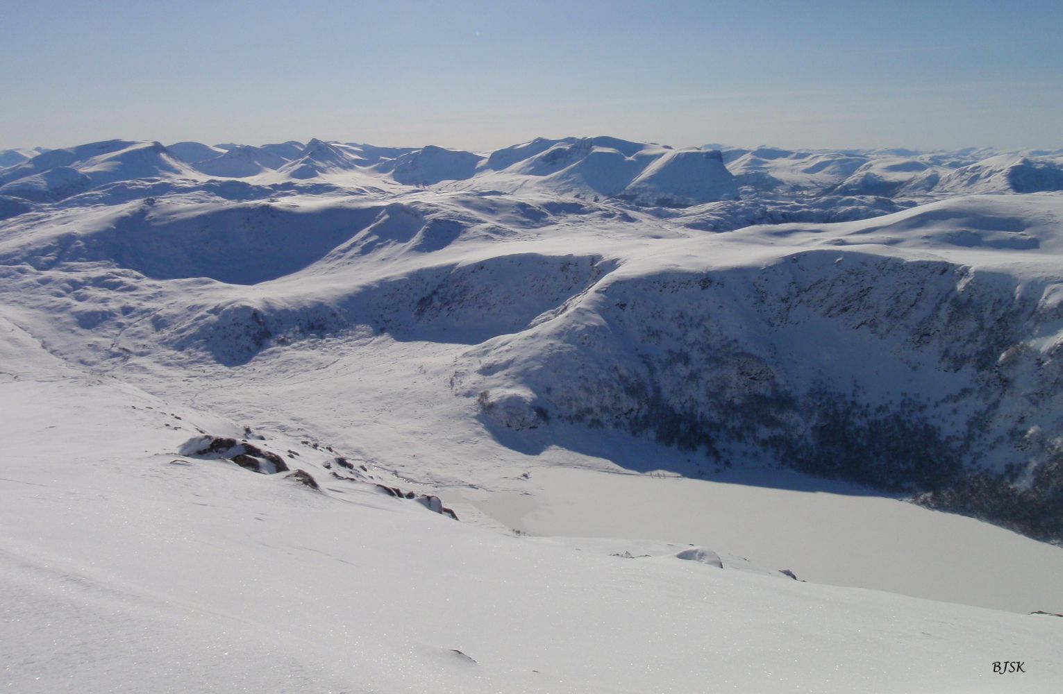
Sollia is the highest mountain in both Sande and Herøy municipalities, but this trail is on the side of Herøy. The westernmost peak of the mountain (660 m a.s.l.) belongs to Sande, while the easternmost peak (661 m a.s.l.) belongs to Herøy. The view in all directions is spectacular. You will see Herøy, Sande, Ulstein, the Sunnmørsalpane mountain range, and the mountains of Vanylven. Two sports associations, Gurskøy IL and Moltu IL, set up their trail posts on the peak.
Begin by walking from the car park at the illuminated ski trail in Leikongeidet. Walk up northwest and then north once you climb up the first mountain ridge. From here, follow the path northwest again as it takes you almost straight to Sollia. You will walk on the south side of Lake Holmevatnet before you begin the final ascent to the peak.
Park your car by the illuminated ski trail along County Road 61 (FV61) in Leikongeidet, Herøy Municipality.
Skiing route
Red fjellski
Duration
2 t. 35 min.

Hiking map of Ytre Søre Sunnmøre, M711 1119 I, II, III, and IV. Sunnmorskart.no
 Driving directions
 Route data
GeoJSON